Maps
A small lake surrounded by trees and a grassy field on a cloudy day.

Explore the Cariboo Gold Rush Trail: An Accessible Getaway

3-5 days, 410 km (254.76 mi)

A trip back in time along the Gold Rush Trail for travellers with mobility challenges.

Share  Facebook Twitter pinterest logoPinterest

Stories of the Gold Rush era—and the routes that led proprietors, miners, and the people who “mined the miners” to the province’s gold fields—have long lured adventurers to British Columbia. “Gold fever” spawned communities seemingly overnight along the Cariboo Gold Rush Trail, and while most towns disappeared as quickly as they emerged, some have lingered, attracting visitors to this day. Visitors with mobility needs will be pleased to find a large network of accessible trails in the region.


Part 1

Williams Lake

Getting  Here & Getting Around:

Williams Lake Airport is supported by Pacific Coastal Airlines who provide services to people with mobility issues. Please contact the airline in advance to discuss assistance. At the airport, National Car Rental may be able to provide Adaptive Driving Devices or offer surrogate drivers.

Accessible Williams Lake Accommodation Suggestions:

Wheelchair-accessible guest rooms are available at the Coast Fraser InnBest Western Williams Lake Hotel, Sandman Hotel & Suites, Ramada by Wyndham Williams Lake, and the Super 8 Hotel Williams Lake.

Don’t Miss:

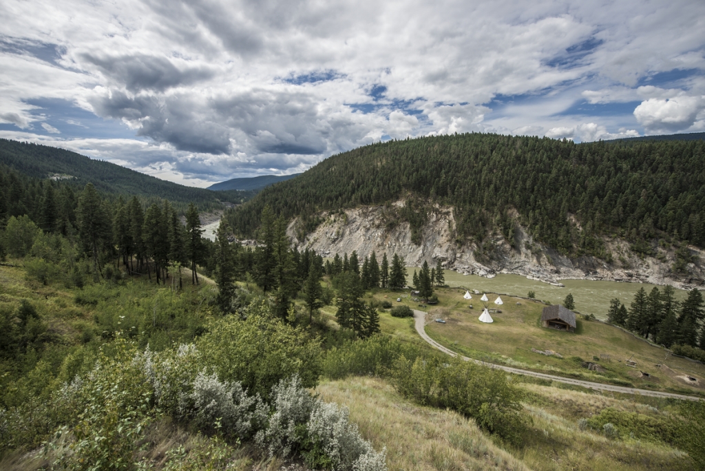
The Museum of the Cariboo Chicoltin, located at the Tourism Discovery Centre—a massive, log home-style Visitor Information Centre—is a must. The museum showcases the diverse history of the Cariboo Chilcotin region and is the only museum in BC that focuses on ranching, rodeos, and cowboys.

A close up of leather cowboy boots on a wooden floor

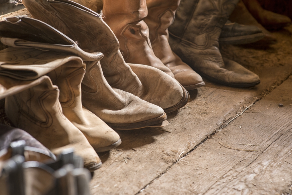
Boots at Watch Lake Lodge | Michael Bednar

Scout Island is the place for bird watching. In spring and fall, hundreds of species of migratory birds pass by the area’s marshland and lake. The nature house and some of the trails are wheelchair accessible, but call in advance for current trail conditions.

Detour east to the small town of Horsefly, and you’ll find a community dedicated to accessibility. All Horsefly businesses are accessible, as are amenities such as the local campground, fishing dock, and the Horsefly River Spawning Channel Trail.

For dining options, visit Tourism Williams Lake and call individual establishments to verify wheelchair accessibility. Local recommendations include: MR MIKES SteakhouseCasual, and the Point Restaurant.

Part 2

Williams Lake to Likely

Along the way:

Explore the history of the Cariboo Gold Rush that unfolded in 1859. Here, the communities of Quesnelle Forks, Cedar City, Keithley Creek, and Likely sprung to life overnight.

Stop at Big Lake Ranch, located on the shore of Big Lake. This was once a major stop for miners, and some buildings from the ranch are still standing. Today the Community Hall is a popular gathering place that houses the town’s post office, fire and rescue department, district library, and gym. Make your way along the 500-m (1,640-ft) Big Lake Community Hall Low Mobility Trail, a packed gravel surface that loops from the Community Hall through the forest along the lakeshore and back.

The next stop is Gavin Lake Forest Education Centre, where the 305-m (1,000-ft) Gavin Lake Low Mobility Trail is adjacent to the Gavin Lake Forest Education Centre. Boardwalks cross over swampy areas of the lake and the forest, and two accessible bridges offer viewing platforms. The Forest Education Centre has accessible washrooms.

Your next stop is Cedar Point Provincial Park, where old-growth forest and Quesnel Lake—famed as the deepest inland fjord lake in the world—draw frequent visitors, as does the Cedar City Museum, which highlights the gold rush boom towns of Quesnelle Forks, Cedar City, and Keithley Creek. This area was a key stopover point for local Indigenous peoples and later a rendezvous spot for fur trappers and traders until gold was discovered in 1858. There are low-mobility trails here, and the museum and washroom beside the museum are accessible.

Nearby Quesnelle Forks, set at the confluence of the Quesnel and Cariboo rivers, was established in 1860, serving as a major supply hub for gold prospectors until the Cariboo Waggon Road was built in 1865. It fell into despair, but a small group of Chinese miners and merchants remained. More Chinese railway labourers arrived after the completion of Canadian Pacific Railway, and, at one time, the town had the third-largest Chinese population after Nanaimo and Victoria, before being abandoned completely in the 1950s.

Thanks to the dedication of Likely residents, some of the pioneer buildings and cemeteries have been restored. The Quesnelle Forks Low Mobility Trails make their way through the historic town and have accessible picnic tables, benches, and outhouses.

Part 3

Return to Williams Lake

Head back to Williams Lake and Highway 97 to continue your journey.

Part 4

Williams Lake to Quesnel

Accessible Quesnel Accommodation Suggestions:

A few hotels in Quesnel offer wheelchair-accessible rooms, including The Tower InnQuality Inn Quesnel, and the Sandman Hotel Quesnel.

A collection of teepees and buildings make up the Xat'sull Heritage Village on a plain surrounded by trees, with a river behind the area.

Xat’sull Heritage Village | Blake Jorgenson

Along the way:

Head north from Williams Lake to Soda Creek, home of the Xat’sull First Nation. In 1909, Soda Creek played an important role in the construction of the Grand Trunk Pacific Railway that transported passengers from Ashcroft to Fort George (now Prince George). Indigenous land was seized by European settlers (backed by the colonial government), and the local Indigenous community was relocated onto a small patch of reserve land between the highway and the Fraser River.

Today, the Xat’sull Nation operates the Xat’sull Heritage Village, which showcases the history of the Secwepemc Nation and their traditional way of life. Take a tour with a cultural guide to view the teepees and winter homes, or pit houses (also known as kikule houses), drying/tanning racks, a lean-to, a sweat house, and a summer hut.

Four teepees at the Xat'sull Heritage Village. Two people sit together at a table in the middle.

Xat’sull Heritage Village | Blake Jorgenson

Hear stories of Xat’sull ancestors, and participate in crafts and workshops, including pit-cooking demonstrations. Most of the pathways are packed grassy areas that are accessible for people with low mobility or wheelchair users. However, the pit house and the sweat house have steeper slopes and narrow entrances and may be challenging for wheelchairs to navigate.

Continue north on Highway 97 and follow the sign for Kersley, where Sisters Creek Recreation Site Accessible Trail leads to a wheelchair-friendly viewpoint overlooking the Fraser River. The trail is approximately 800 m (2,625 ft) long with a packed, crushed gravel surface. There is a small section with a steeper grade.

Arrive at Quesnel and visit Quesnel District Museum & Archives. See thousands of artifacts and photographs, and pick up a Historic Walking Tour brochure from the Visitor Centre. It includes 36 points of interest and marks artifacts, signage, etc., along the route. (Not all are wheelchair accessible; inquire with staff.)

Check out the paved Riverfront Trail with its beautiful views of the Quesnel River and the surrounding neighbourhood. While there is a flat section from Ceal Tingley Park toward Heritage Corner and the Walking Bridge, there are some steep slopes that may be difficult to navigate. Continue across the Walking Bridge and onto the West Quesnel Riverfront Trail along the Fraser River, and finish at the lookout point.

Visit Tourism Quesnel’s website for dining and drinking suggestions. Not all are wheelchair accessible, so make individual inquiries ahead of time. Begbie’s Bar & Bistro, Billy Barker Hotel Restaurant & Lounge, and MR. MIKES SteakhouseCasual are among the accessible options.

Part 5

Quesnel to Barkerville Historic Town

Accessible Barkerville Accommodation Suggestions:

Barkerville Historic Town has a heritage hotel alongside B&Bs; their bathrooms, however, may not be fully wheelchair accessible. The town has built a couple of new cabins, and their main floors are wheelchair accessible. Lowee Campground, operated by the Barkerville Historic Society about 2 km (1 mi) away from the historic town, is wheelchair accessible. For more information, visit Barkerville Historic Town.

The nearby town of Wells has some lovely motels, hotels, and guest houses, however they are not equipped with wheelchair roll-in showers. People who need wheelchair-accessible showers may wish to return to Quesnel instead.

A person walks down the street of Barkerville Historic Town. There are children and other people at the end of the street in the distance.

Barkerville Historic Town | Destination British Columbia

Along the way:

Depart Quesnel heading north, then turn right onto Barkerville Highway (Highway 26)—a scenic road where you’re likely to spot wildlife.

During the Cariboo Gold Rush, this major artery was travelled by miners enroute to the gold fields in Barkerville, Richfield, and Williams Creek. Cottonwood House Historic Site, east of Quesnel, was one of the most famous roadhouses along the Cariboo Waggon Road.

Not much has changed since the Gold Rush era, and visitors can explore historic buildings and exhibits, ride in a horse-drawn carriage, visit the gift and candy store, and even stay overnight at one of the rustic cabins or at the campground. The historic site is wheelchair accessible and it boasts a 3-km (2-mi) trail system with stunning views of the Cottonwood River. One of the cabins is wheelchair accessible.

Continue east towards to Barkerville Historic Town, established in 1862. There are more than 125 heritage buildings on site, and miners, madams, and Chinese families (all local actors dressed in period costumes) go about their day in a town abuzz with business and drama. The St. Saviour’s Anglican Church at Barkerville Town is one of the oldest in BC and there is still a daily service.

Enjoy live performances, meals at historic restaurants, and more. The historic town is mostly wheelchair accessible, except for a couple of places where visitors may need to climb stairs to reach the second floor.

Head back to Quesnel and Route 97, and keep exploring BC.

Feature Image: 150 Mile House | Michael Bednar

Last update: June 4, 2021

Driving Directions

Part 1 - Vancouver
  • 6.25 km
  • 12 min
Show Map & Driving Directions

Plan Your Adventure Now

Need to Know

Find key travel information to plan your BC vacation.

Travel Info
Adventure Smart

Always check trail conditions before you head out, and no matter what outdoor activity you are planning, be prepared.

Plan Your Route
Plan Your Route

Check Drive BC for the latest information on road closures around the province.

Check Conditions
Travel Responsibly

Follow these tips to travel safely and responsibly in BC this season.

See the Tips
Places to Stay

Discover everything from luxury hotels and B&Bs to wilderness lodges and campsites.

Find Accommodation
#explorebc

See what's happening now with these recent posts.