


Welcome to a city surrounded by impressive nature. In Vancouver, glass towers mirror the green-blue Pacific Ocean. The city’s accessible and scenic Seawall encircles Stanley Park’s lush rainforest, framed by the mountains on Vancouver’s North Shore. Travelling north along the Sea-to-Sky Highway 99, views include the striking ocean and mountain panoramas of Howe Sound—a UNESCO-designated biosphere—and its small islands.

Rainforest to Rockies: Along the Trans-Canada Highway
7-10 Days / 778 km (483 mi)
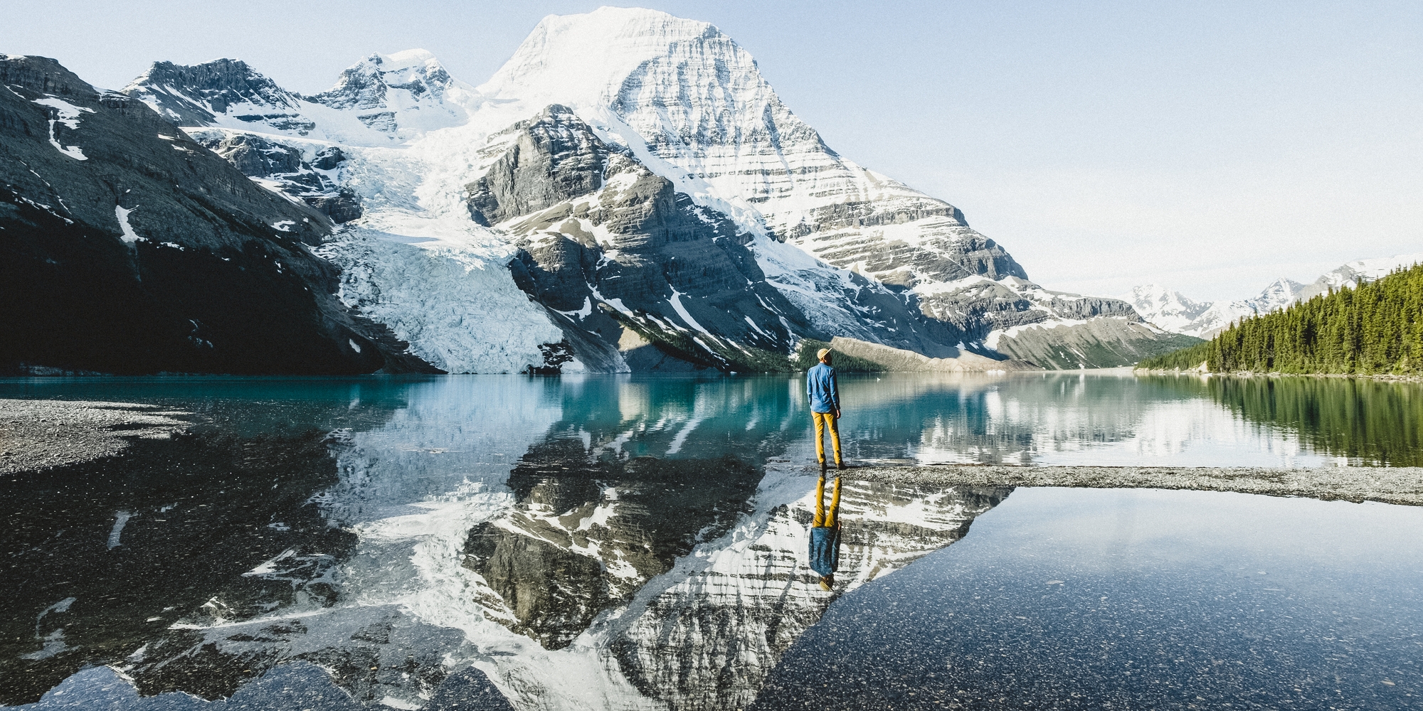
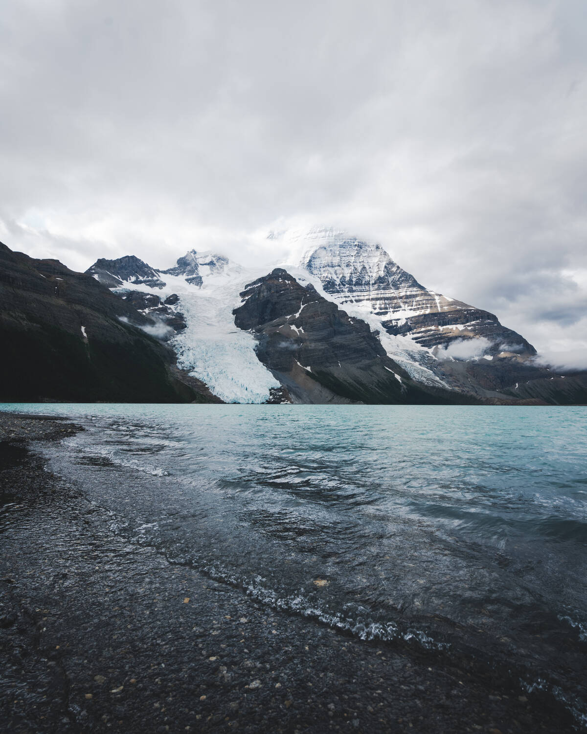
A quintessential Canadian journey from Vancouver on the Pacific Coast to the Canadian Rockies along the scenic Trans-Canada Highway 1.


