Maps
Two people with big backpacks walk toward the camera through a grassy field. Behind them is a ring of evergreen trees, and beyond those are rugged mountain peaks and glaciers.

Rainforest to Rockies: The Columbia Valley

4-6 Days, 735 km (456.71 mi)

A magnificent circle route through the Columbia Valley and the Canadian Rockies offering snow-capped mountain peaks and the natural wonders of British Columbia.

Share  Facebook Twitter pinterest logoPinterest

Rainforest to Rockies logo

Be surrounded by giants on a rugged Rainforest to Rockies journey. Get the best peek at British Columbia’s most magnificent peaks in the Columbia Valley, nestled between the Canadian Rockies to the east and the Purcell Mountains to the west. Mountain views, alpine forests, and pristine lakes await as you travel along the Columbia River, the namesake of the province.

Part 1

Vancouver to Hope

Vancouver | Albert Normandin

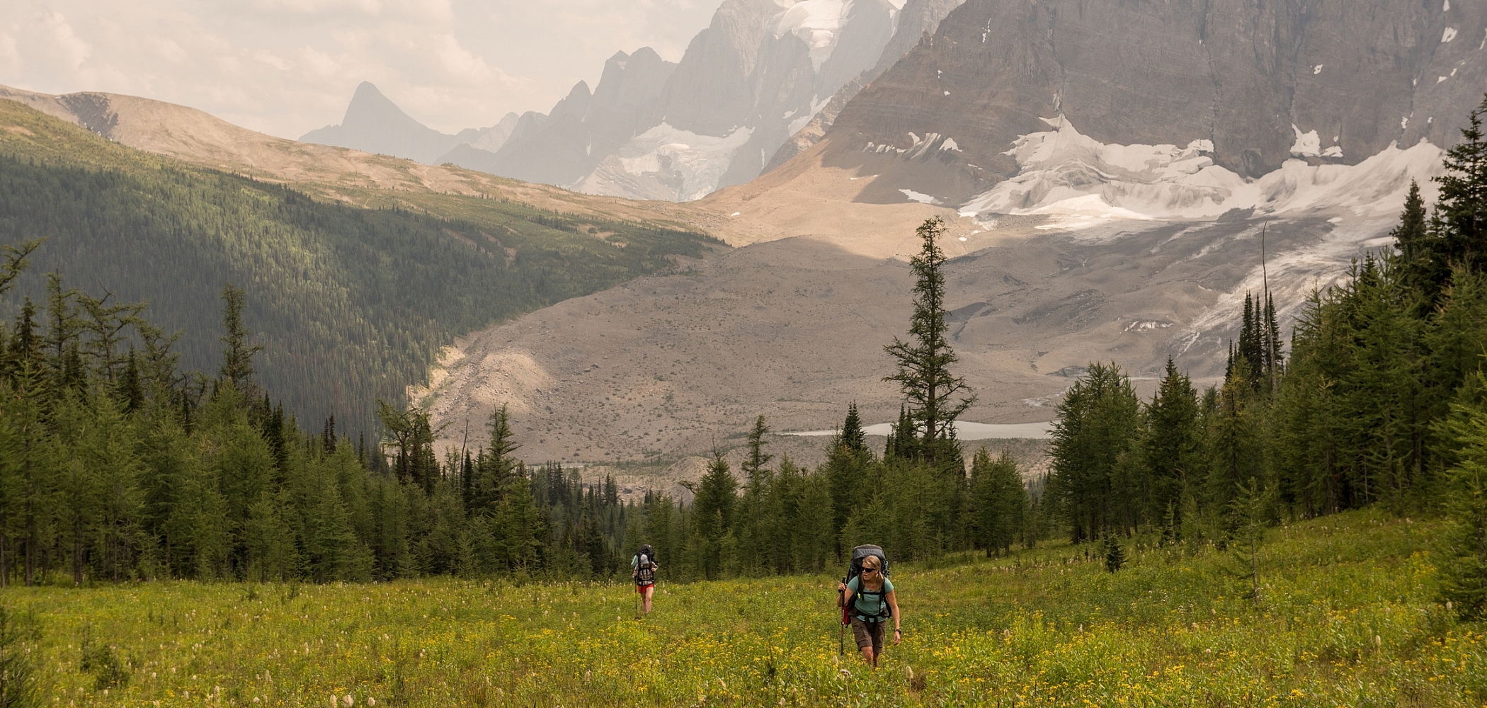
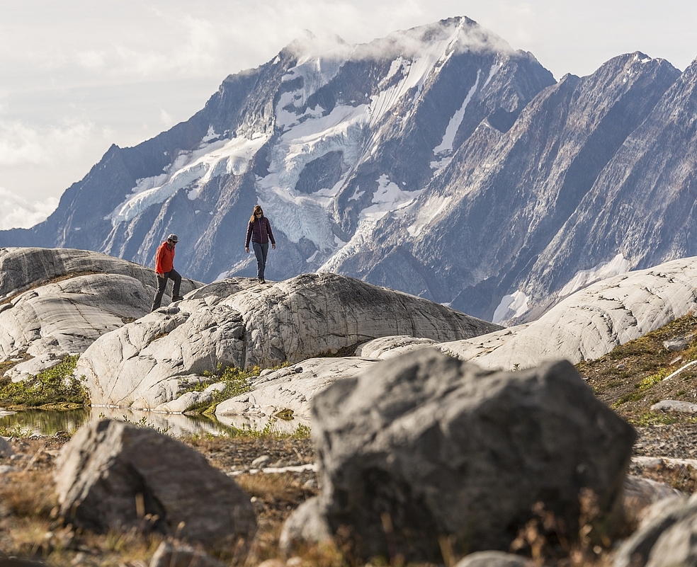
This adventure through mountain valleys unfolds in the direction of your choice. Start (or end) this road trip in Vancouver, where the mountains on the city’s North Shore overlook Stanley Park’s rainforest-and-oceanfront paths, the busy port area of Burrard Inlet, and a culturally vibrant city. From Vancouver, travel east on Trans-Canada Highway 1. Urban experiences give way to the Fraser Valley’s farmlands of tulips, sunflowers and berries. In Hope, at the confluence of the Fraser and Coquihalla rivers, cliffside vistas, chainsaw wood carvings, and railway trestles will delight photographers.

Part 2

Hope to Cranbrook

Nk'Mip Desert Cultural Centre | Hubert Kang

Witness the area’s landscape transform as you journey southeast on Crowsnest Highway 3. In the Cascade Mountains, grizzly bears and moose amble among dozens of varieties of wildflowers.

The Similkameen Valley is a special part of the province known for its unique microclimate, a wide range of fruit and vegetable growers and commitment to organic farming. Enjoy local wineries, bountiful orchards, and fruit stands while rugged highland terrain provides a contrast to the fruitful valley floor. Along Crowsnest Highway 3, explore the Kettle Valley Trail with its striking canyons, bridges, and river views.

As you arrive in lakeside Osoyoos, Canada’s semi-arid desert ecosystem unfolds. This hot, dry, sunny area is home to burrowing owls and bighorn sheep. At the Nk’Mip Desert Cultural Centre, explore the ecology and learn about the ways and experiences of the Syilx People of the Okanagan Nation.

Beyond the go-to mountain sports and backcountry exploration, go fishing north of Creston on Kootenay Lake, discover the wineries of the Creston Valley, and go e-biking in Kimberley.

Part 3

Cranbrook to Golden

Fairmont Hot Springs | Kari Medig

Explore the breathtaking mountain peaks between Cranbrook and Golden along Highway 93. At the village of Canal Flats, you’ve entered the Columbia Valley, nestled between the Purcell Mountains and the Canadian Rockies, surrounding the Columbia River. 

Take in exceptional landscape views, head out for hiking, biking, or camping adventures, and pair the panoramas of the Canadian Rockies with pure relaxation at Fairmont Hot Springs Resort and Radium Hot Springs, two Hot Springs Circle Route magnets. 

The Columbia Valley offers many opportunities to stop and soak in the Canadian Rockies scenery. Kootenay National Parkpart of the UNESCO Canadian Rocky Mountain Parks World Heritage Site—showcases nature’s diversity. Ochre-coloured pools highlight the Paint Pots trail, while a Marble Canyon hike that traverses icy-blue waters in a limestone gorge. Sinclair Pass and Vermilion Passreaching elevations of nearly 1,500m apiecedeliver vistas of some of Canada’ most impressive mountains.

Head north on Highway 95 to the town of Golden, where mountain culture reigns. Trails abound, and the Golden Skybridge suspension bridges offer incredible views and thrills. A gondola ride at  Kicking Horse Mountain Resort will take you into the clouds to experience 360-degree panoramas and an elevated dining experience. 

Part 4

Golden to Yoho

Yoho National Park | Dave Heath

In this part of the Canadian Rockies, snowy peaks blanket huge mountain massifs. Along the 80-km Kicking Horse River, towering cliffs in the Kicking Horse Canyon flank whitewater rafting and kayaking expeditions. 

There’s more pristine nature to inspire you in UNESCO-recognized Yoho National Park. Canoe Emerald Lake, feel the spray on your face at the 373-m Takakkaw Falls, and see 500-million-year-old fossils on a guided hike to the Burgess Shale. Keep a watch for nearly 60 mammal species, including elk and black bears. 

Near the community of Field, on the road to Emerald Lake, the Natural Bridgea rough-hewn limestone arch over the Kicking Horse Riveroffers that perfect photo opp and a chance to reflect on your Rainforest to Rockies journey. From here, follow the Trans-Canada Highway 1 back west to Vancouver for the views you missed the first time. 

Important note: Remember to check for access information and note which park areas require advance booking or have other unique conditions.

Driving Directions

Part 1 - Vancouver
  • 6.25 km
  • 12 min
Show Map & Driving Directions
Header image: Rockwall Trail in Kootenay National Park | Kari Medig

Start Planning

Need to Know

Find key travel information to help you plan your trip to BC.

Get Info
Plan Your Route

Check Drive BC for the latest information on road closures around the province.

Check Conditions
BC Parks

Learn about hiking and biking trails, provincial campgrounds, park closures, and more.

Explore