

One of the world’s most liveable cities, Vancouver is easy to get to but harder to leave. Nature abounds on downtown’s doorstep, but the lush parks, trails, and beaches are just a teaser for the breathtaking coastal scenery still to come.
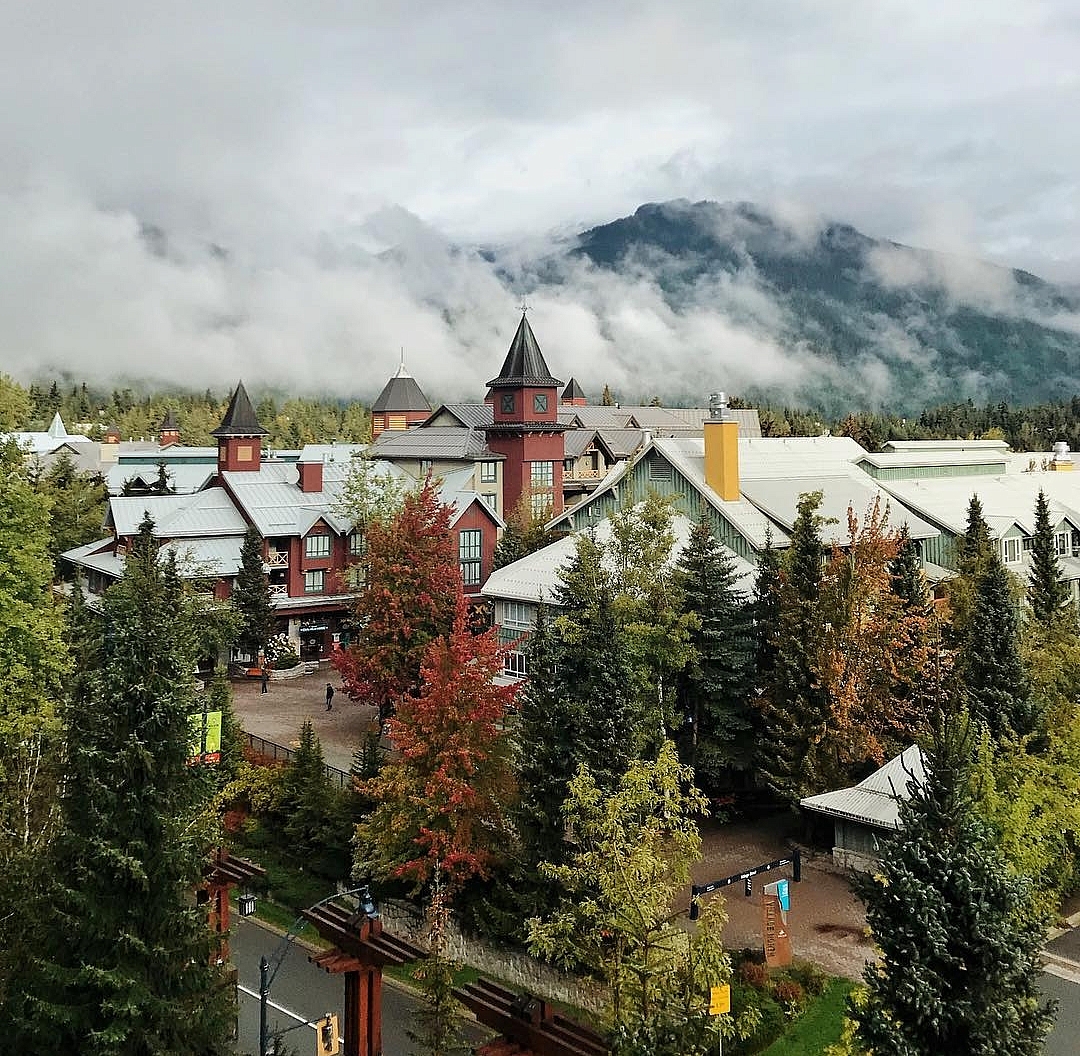
Smell the salt air as you head north to Whistler, a four-season mountain town and resort along the Sea-to-Sky Highway 99—one of the world’s Top 5 scenic drives.
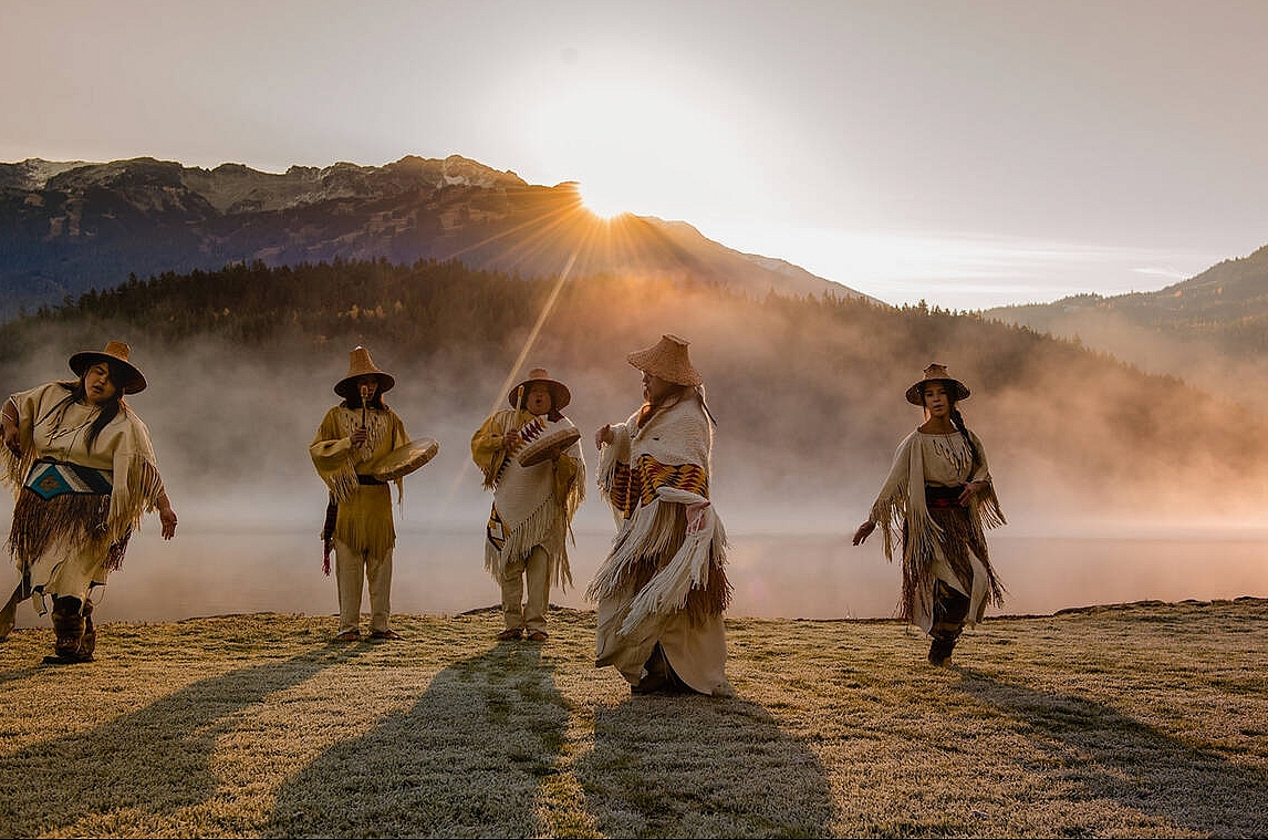
The scenery continues toward Lillooet—unique in the area for its dry climate and Mile 0 of the Cariboo Wagon Road in the mid-1800s—as mountains rise on either side of broad, river-carved valleys and the turquoise Seton Lake comes into view. This area is still an active fishing ground for the St’át’imc Nation, and Xwisten Experience Tours offers guided visits to the traditional fishing rock and an archaeological village site.