


Explore BC Interactive Map
Not sure where to start? Use our interactive map to find travel ideas, suggested itineraries, experience providers, nearby accommodation, and more. Start planning your British Columbia journey now.
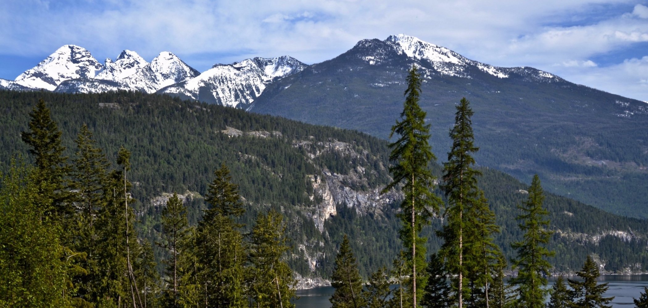
Start ExploringLike you, we’re passionate about exploring BC. From Mile Zero of the Trans Canada Highway on southern Vancouver Island to Mile Zero of the Alaska Highway in BC’s northeast—and everywhere in between—the maps below will help you chart a course for your western Canada road trip. Looking to hit the slopes? Check out the BC Ski Map to access perfect powder at a resort or community ski hill. Prefer to sleep under the stars? The BC Campsites Map will show you where to pitch your tent.
Please note: As a result of of Covid-19, some businesses may be not be operating, or be operating with reduced capacity or modified schedule. We encourage you to check the websites or contact the businesses you plan to visit in advance.
Not sure where to start? Use our interactive map to find travel ideas, suggested itineraries, experience providers, nearby accommodation, and more. Start planning your British Columbia journey now.
Start ExploringNot sure where to start? Use our interactive map to find travel ideas, suggested itineraries, experience providers, nearby accommodation, and more. Start planning your British Columbia journey now.
Start ExploringIf you prefer a printed map, find them at visitor information centres across the province. You can also order printed maps from Davenport Maps, International Travel Maps and Books, and Backroad Mapbooks.

1 week / 851.52 km (529 mi)
Journey from enchanting hot springs to rugged mountain wilderness.

1 to 3 days / 163.13 km (101 mi)
This spectacular drive winds from Vancouver to Pemberton, just north of Whistler.

4-6 days / 190 km (118 mi)
A Vancouver Island road trip for travellers with special mobility needs.

7-10 Days / 940 km (584 mi)
Mountain towns and hot springs for travellers with mobility challenges.

5-7 days / 340 km (211 mi)
A food and wine road trip for travellers with mobility challenges.

