Maps
Emperor Falls in Mount Robson Provincial Park.

Rainforest to Rockies: North to Mount Robson

7-10 Days, 709 km (440.55 mi)

Find adventure as you travel from Vancouver and the Pacific Ocean to Mount Robson, the Canadian Rockies’ highest peak.

Share  Facebook Twitter pinterest logoPinterest

Rainforest to Rockies logo

If outdoor adventure feeds your soul, then this journey of discovery, immersive experiences, and plenty of surprises is for you. Start in Vancouver, where time spent in nature is a part of every day. Travel the Sea-to-Sky Highway and beyond, exploring shifting landscapes that take you from sea level to summit, and from canyons to cactus before rising again toward Mount Robson, the highest peak in the Canadian Rockies.

Part 1

Vancouver

Stanley Park | Destination Vancouver/Kindred & Scout

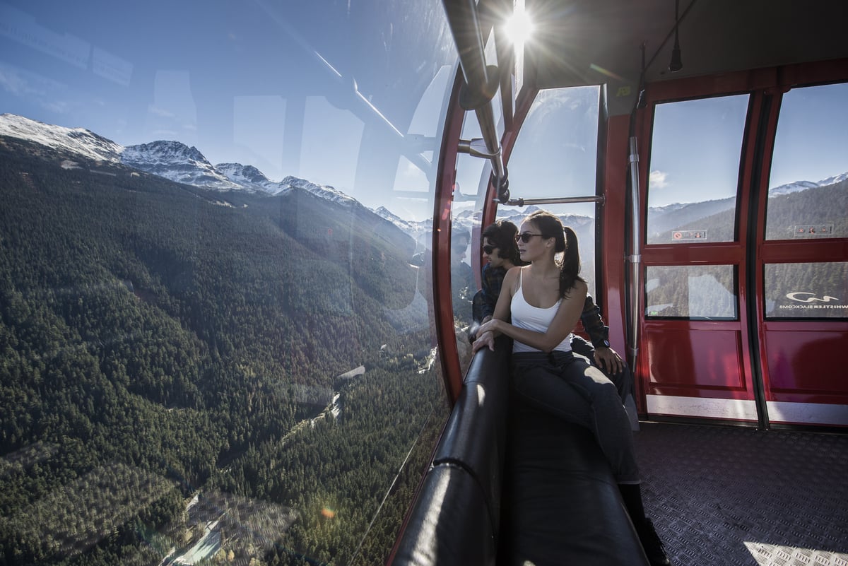
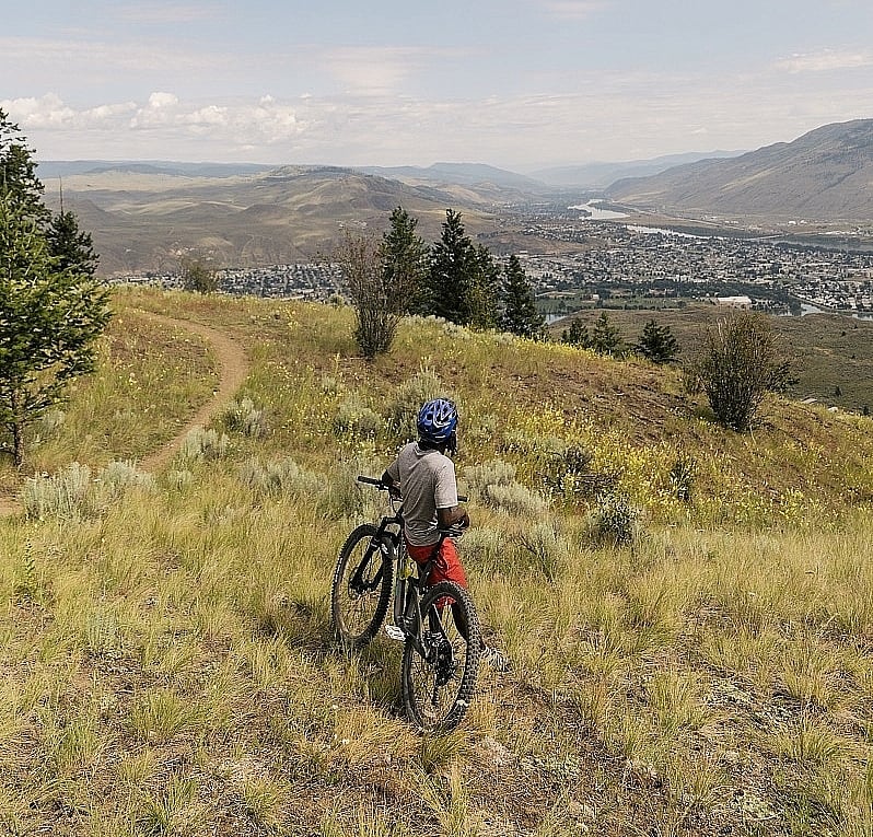
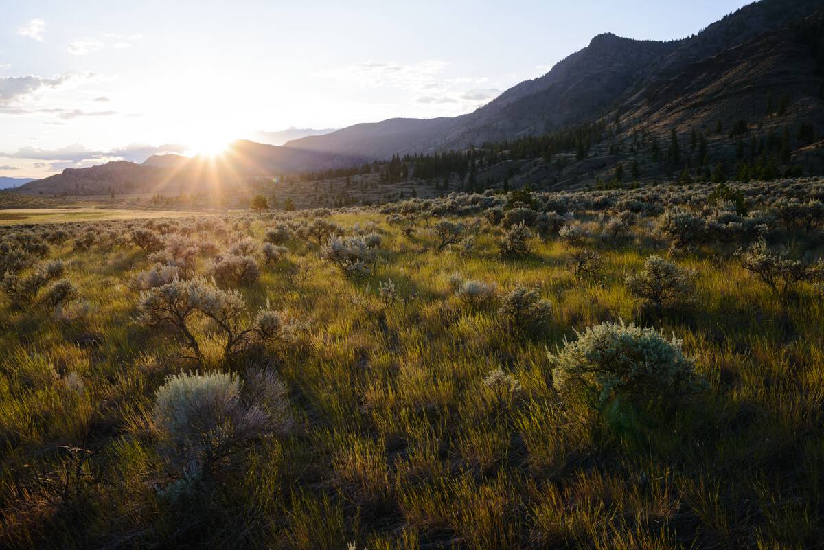
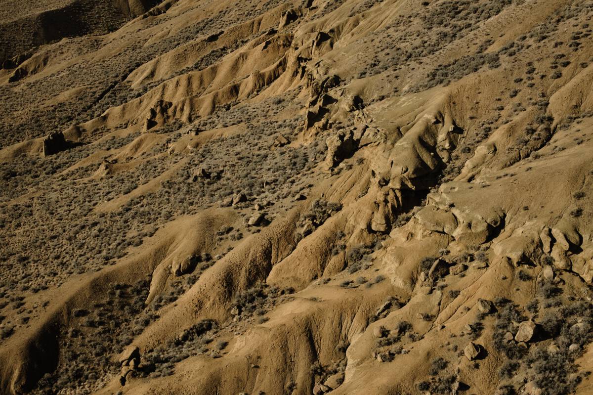
When you arrive in Vancouver—by car, by plane, or by boat—you’ll be instantly struck by the natural landscape. Sure, the city’s striking glass towers reflect the green of the forest and the blue of the sea. Yes, Vancouver is home to talented chefs whose ingredients come from places just beyond your table. And it’s true that there’s a rich and storied Indigenous culture here that thrives alongside cultures that span the globe. But the real magic of this spectacular city on Canada’s west coast is in the fact that you can immerse yourself in nature within minutes and with little effort.

Escape to the 1,000-acre Stanley Park rainforest from your downtown hotel on foot or by bike and explore the network of trails. Stroll to one of the city’s sandy beaches for a swim, or get out on the water with the locals by renting a kayak or SUP.

Cross the iconic Lions Gate Bridge to the North Shore Mountains, legendary in the world of mountain biking. If hurtling down a mountain on two wheels feels a bit too intense, challenge gravity instead and hike up—or take a gondola to the top of Grouse Mountain—for a panoramic view of the city with its many parks and waterways laid at your feet.

Part 2

Vancouver to Whistler

High Note Trail | Blake Jorgenson

The visual feast continues as you travel the Sea-to-Sky Highway, widely considered to be among the world’s most scenic drives. Passengers will be glued to the window, thanks to vistas that include the UNESCO-designated Howe Sound Biosphere Region with its ever-changing views of the islands and islets that rest in this picturesque fjord. 

Arrive in Squamish, known as the Outdoor Recreation Capital of Canada, and watch for the Stawamus Chief, one of the world’s largest granite monoliths and a destination for hikers and rock climbers. The community’s location at the head of the fjord makes it a draw for all manner of watersports, too, which explains why so many active residents happily commute to Vancouver, and why pro athletes make their home here.

Continue north, and the landscape changes from ocean to alpine. Take advantage of roadside viewpoints overlooking spectacular BC scenery including enormous glaciers and faraway mountain peaks, and watch for waterfalls as you approach Whistler, home to North America’s preeminent mountain resort.

Whistler is a four-season gem where you can indulge in almost any outdoor pursuit. Ziplining through the canopy? Searching for bears with an experienced guide? Strolling around an alpine lake? Whistler has ‘em all, and much, much more. Before choosing your adventure, ride the PEAK 2 PEAK Gondola between Whistler and Blackcomb mountains and be awed by the view of Whistler Village and the peaks, forests, glaciers, and waterways that surround it.

Part 3

Whistler to Cache Creek

Pemberton, north of Whistler | Reuben Krabbe

The alpine peaks and forests continue north of Whistler as you wind your way past Pemberton through the rugged Coast Mountains, hugging lakes and fast-moving rivers as you go. This section of the highway, known as Duffey Lake Road, features big-mountains views and steep switchbacks, and is a favourite route for motorcyclists. 

Keep an eye on the landscape as lush rainforest gives way to drier sagebrush and craggy bluffs. (Insider tip: The hike to the lookout over turquoise Seton Lake is well worth the effort.) Continue on to Lillooet, a community set on the banks of the mighty Fraser River that is rich in the history, culture and experiences of the St’át’imc peoples. Spend time with Xwisten Experience Tours for insight into the many ways Indigenous communities have been inextricably linked to the land, the water, and the wildlife for millennia.

Beyond Lillooet, the terrain morphs into canyon country, including Marble Canyon Park with its limestone cliffs and crystal-clear lakes, perfect for paddling. At Historic Hat Creek Ranch, home to an 1860s gold rush roadhouse, hear stories of the McLean family who founded the ranch and the many fortune seekers who passed through. You can also explore a reconstructed Shuswap Village at the ranch’s Indigenous Interpretation Site.

Part 4

Cache Creek to Kamloops

Battle Bluffs in Kamloops | Jordan Dyck

As you make your way east along Highway 1, the peaks of the Coast Mountains and the sheer canyon walls along the Fraser River give way to a rolling, desert-like landscape of sagebrush and hoodoo rock formations. The rich tones and more muted colour palette offer a different kind of drama as you make your way to where the North and South Thompson rivers meet to form Kamloops Lake. 

Part 5

Kamloops to Clearwater

Helmcken Falls in Wells Gray Provincial Park | Andrew Strain

North of Kamloops, Highway 5 (a.k.a. the Yellowhead Highway) follows the twists and turns of the North Thompson River past rolling ranchland scenery toward Wells Gray Provincial Park, one of BC’s biggest and most diverse provincial parks. A stay at a guest ranch along the route is just the thing to help you tap into your inner cowpoke.

As you leave Kamloops, consider a detour to the all-season Sun Peaks Resort for lift-accessed mountain biking and alpine hiking in summer, and shredding the country’s second-largest ski area in the winter.

Farther north, Clearwater is known as the gateway to Wells Gray Provincial Park, one of BC’s finest. Think big when you plan your activities here, and allow lots of time. The park’s defining topographical features include waterfalls and mineral springs, lava beds, and extinct volcanoes. Four-legged residents such as black and grizzly bears, moose, caribou, and wolves reign. And local guiding companies will arrange everything from hiking and horseback riding to canoeing and whitewater rafting.

Part 6

Clearwater to Mount Robson

Mount Robson Provincial Park | Megan McLellan

Just when you think the landscape can’t hold any more surprises, point your car in the direction of Mount Robson, the tallest peak in the Canadian Rocky Mountains. The second provincial park to be established in BC, Mount Robson is part of the UNESCO Canadian Rocky Mountain Parks, recognized for their exceptional natural beauty. These parks are true stunners.

Perhaps the most popular spot to take in views of the peak is the startlingly blue, glacier-fed Berg Lake. Access the lake via a multi-day backcountry hiking route past waterfalls and alpine lakes. Insider tip: Reservations for this bucket-list trip go fast, so you’ll want to book well in advance. (Check with the local Visitor Centre before you plan your trip, as Berg Lake Trail is currently inaccessible while the trail undergoes repair work.)

Once you reach Berg Lake , look across to the massive glacier that gives the lake its name. Then look waaay up to the tippy top of rugged Mount Robson, which reaches an elevation of 3,954 m. If carrying your food and accommodation on your back is not for you, book a helicopter ride instead and see the park and the peaks from the air. This rarified view will have been shared by many of the nearly 200 bird species documented in the park.

By the time you reach the end of your journey, chances are you’ll find yourself planning your return to BC. After all, in a place this big—with 10 mountain ranges, more than 25,000 km of coastline, and 25% of the world’s temperate rainforest—you will have just scratched the surface.


Header image: Emperor Falls in Mount Robson Provincial Park | Brayden Hall

Driving Directions

Part 1 - Vancouver
  • 6.25 km
  • 12 min
Show Map & Driving Directions

Start Planning

Need to Know

Find key travel information to help you plan your trip to BC.

Get Info
Plan Your Route

Check Drive BC for the latest information on road closures around the province.

Check Conditions
BC Parks

Learn about hiking and biking trails, provincial campgrounds, park closures, and more.

Explore