Maps
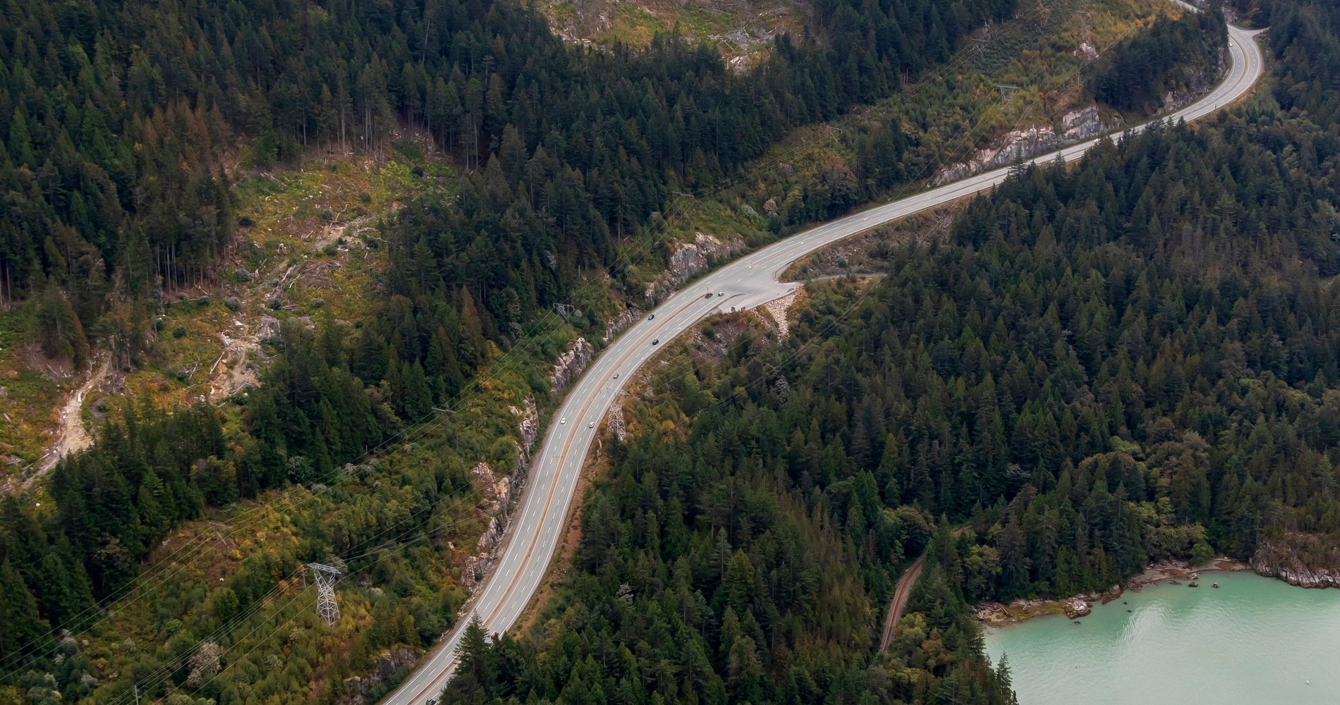
Aerial of the Sea-to-Sky Highway | Photo: Heath Moffatt

Sea-to-Sky Highway Route

1 to 3 days, 163.13 km (101.36 mi)

This spectacular drive winds from Vancouver to Pemberton, just north of Whistler

Share  Facebook Twitter pinterest logoPinterest

This multi-day journey through British Columbia’s Sea-to-Sky corridor is as beautiful as the destinations found along the way. Look out for Cultural Journey interpretive kiosks, designed in the shape of cedar-bark hats, and pull over to learn more about the area’s local Indigenous people.

Part 1

Vancouver

Stanley Park | @vancitywild

6.25 km – about 0 hours 12 min

Start in downtown Vancouver with a visit to iconic Stanley Park; watch marine life at the Vancouver Aquarium and stroll along the seawall. Explore Vancouver’s history by visiting Gastown—the city’s birthplace—and Chinatown, home to the Dr. Sun Yat-Sen Classical Chinese Garden and a lively summer night market. Cross the Lions Gate Bridge to reach North Vancouver and West Vancouver.

Part 2

North Vancouver and West Vancouver

Whytecliff Park in West Vancouver | Alex Strohl

23.42 km – about 0 hours 23 min

In North Vancouver, step along the thrilling Capilano Suspension Bridge, which swings 135m/450ft above ground. From early spring to early fall, hike the gruelling Grouse Grind (dubbed “Mother Nature’s Stairmaster”) and indulge in a burger on top of the mountain. Ride the aerial tram down, then head to West Vancouver for scenic views of Howe Sound and the Georgia Strait at Whytecliff and Lighthouse parks.

Part 3

Horseshoe Bay

34.54 km – about 0 hours 26 min

From West Vancouver, take Highway 99 towards Squamish. Along the way, detour west to Horseshoe Bay to dig into crispy fish ‘n’ chips and watch the ferries sailing into port. A waterfront playground makes a great family rest stop. The first cultural interpretive kiosk is near Horseshoe Bay.

Part 4

Porteau Cove Provincial Park

6.32 km – about 0 hours 5 min

North of Horseshoe Bay is Porteau Cove Provincial Park, a popular scuba diving destination. Artificial shipwrecks and reefs support hundreds of species of marine life, such as octopus, lingcod and starfish. Not a diver? Explore the rocky beach or take a dip in the ocean.

Part 5

Scenic Golfing

17.33 km – about 0 hours 17 min

Just north of Porteau Cove, Furry Creek‘s greens line the waters of Howe Sound, making it one of BC’s most scenic golf courses. Tee off from Hole 14 (the signature hole) to be immersed in classic west coast scenery: islands, ocean and mountains.

Part 6

Britannia Beach

6.07 km – about 0 hours 5 min

Continue north to Britannia Beach to visit the Britannia Mine Museum National Historic Site (tip: check out BOOM!, a live-action, multi-sensory special effects story-telling experience that brings the historic Mill building roaring back to life). Today it showcases the history of the mine and the area, but it was once home to the largest copper producing mine in the British Commonwealth. Board a mining train and travel deep into an old mining tunnel. Pan for gold, engage in interactive exhibits and see historic mining equipment. Cultural kiosk 2 is near Britannia Beach.

Part 7

Sea to Sky Gondola

8 km – 6 min

Continue north of Britannia Beach to the Sea to Sky Gondola. Catch a ride to the top and enjoy sweeping views of Howe Sound, a UNESCO Biosphere Region, take a walk to the many viewing platforms, and check out the suspension bridge, the take on the via ferrata, where you’ll averse a catwalk, cross suspended bridges, and ascend glacier-worn granite slabs using the steel rungs and a fixed cable system.

Part 8

Squamish

Salted Vine Kitchen + Bar in downtown Squamish | @viranlly

2.70 km – about 0 hours 2 min

Squamish, billed as the “Outdoor Recreation Capital of Canada,” is an outdoor enthusiast’s paradise. Zoom down more than 600 mountain biking trails that weave through old-growth forests, splash your way through a rafting tour, or hike in a provincial park. Learn more about the area’s history at Kiosk 4 near the Squamish Adventure Centre.

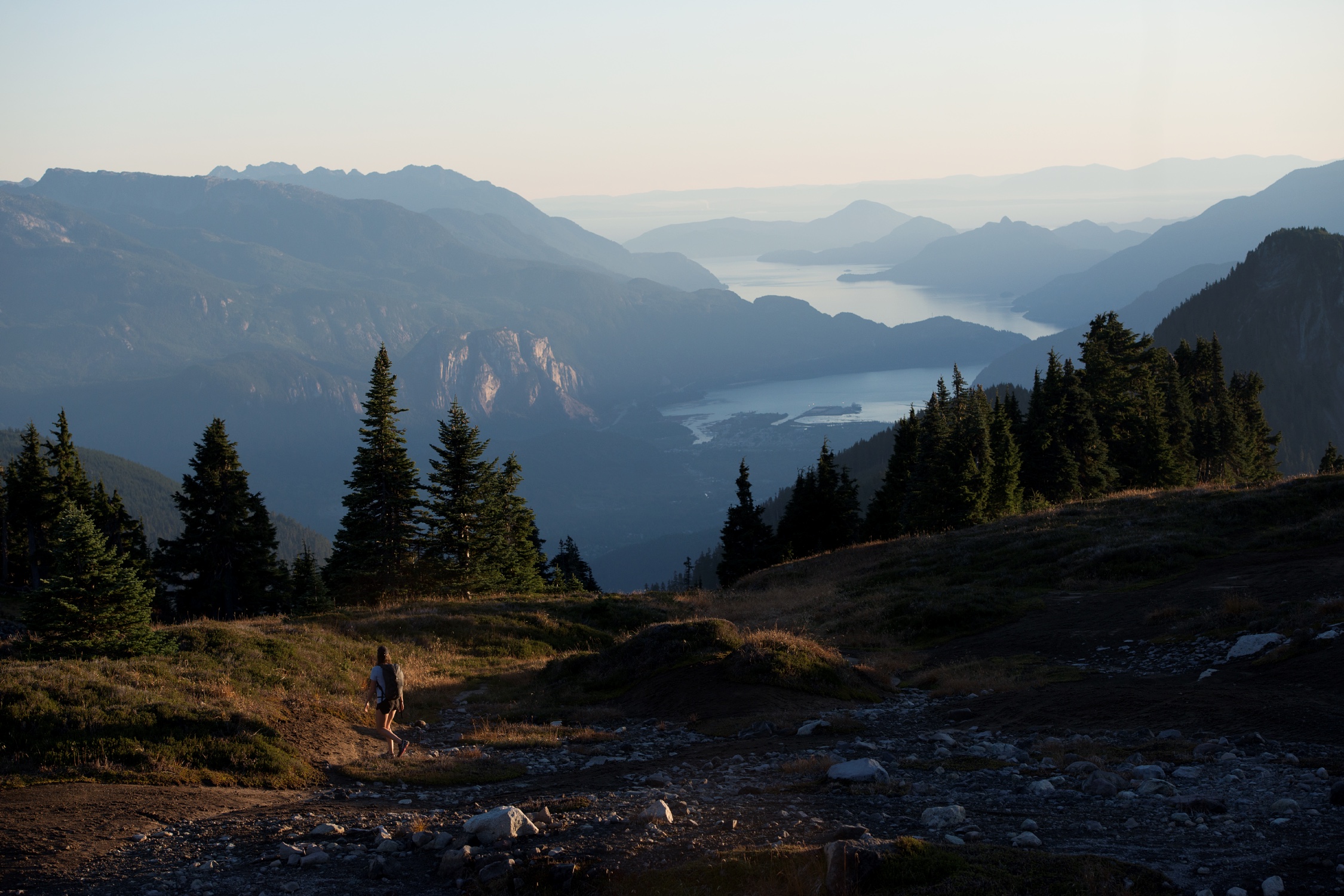
A person hikes in the mountains alone.

Squamish and Howe Sound

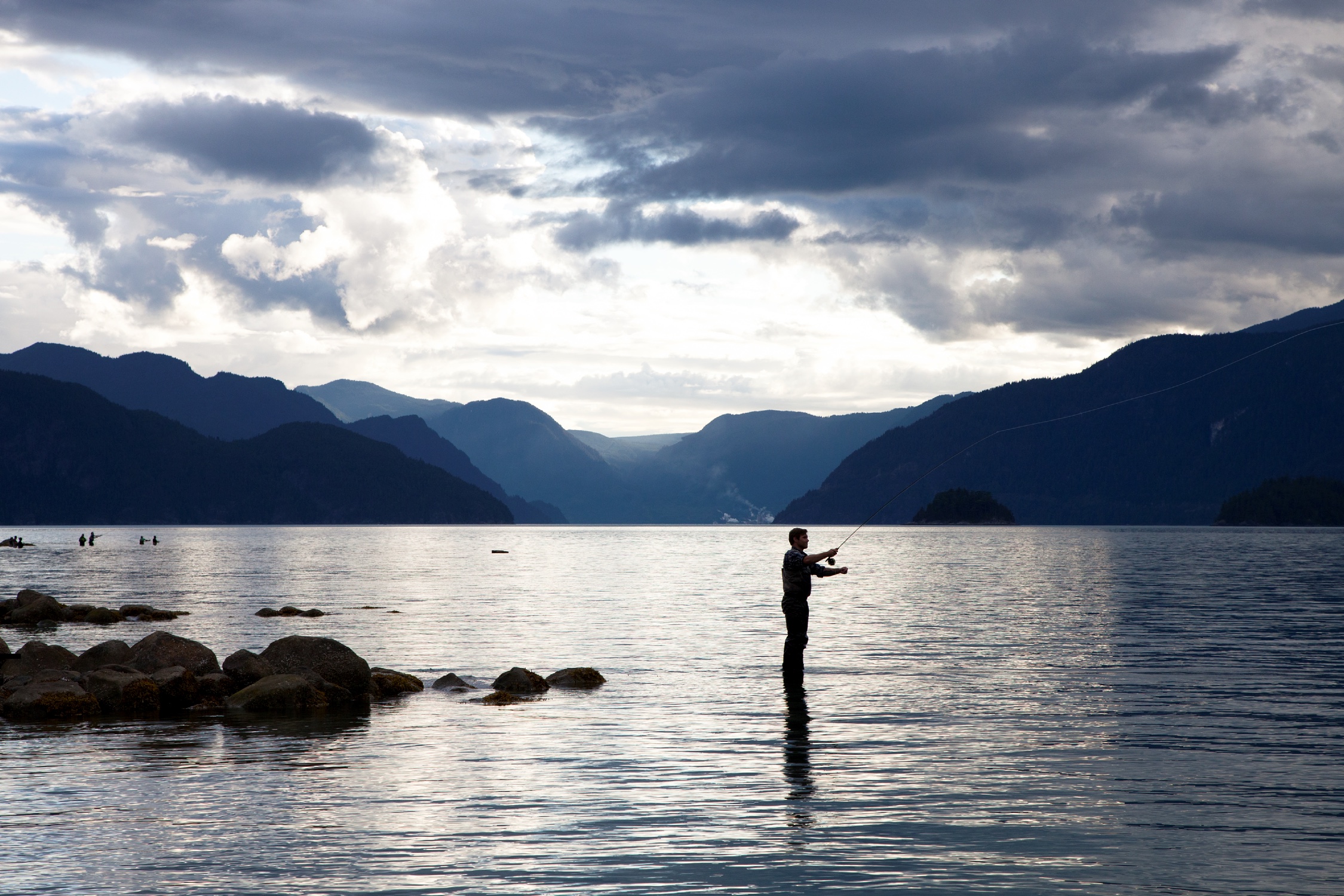
Fly Fishing in Squamish

Fly fishing in Squamish

Cap off the day’s adventure with a locally brewed beer (named for iconic Sea-to-Sky landmarks) and fresh food at a restaurant, or with a visit to one of Squamish’s many art galleries. Overnight in Squamish.

Part 9

Brackendale

North of Squamish is Brackendale, home to one of the highest concentrations of wintering bald eagles in North America. From November to February, look for these magnificent birds feeding on salmon from the main “Eagle Run” viewing facility. Or, take an “Eagle Safari,” guided eagle viewing tours on foot, by raft, or via e-bike.

Part 10

Whistler and Optional Routes

12.32 km – about 0 hours 11 min
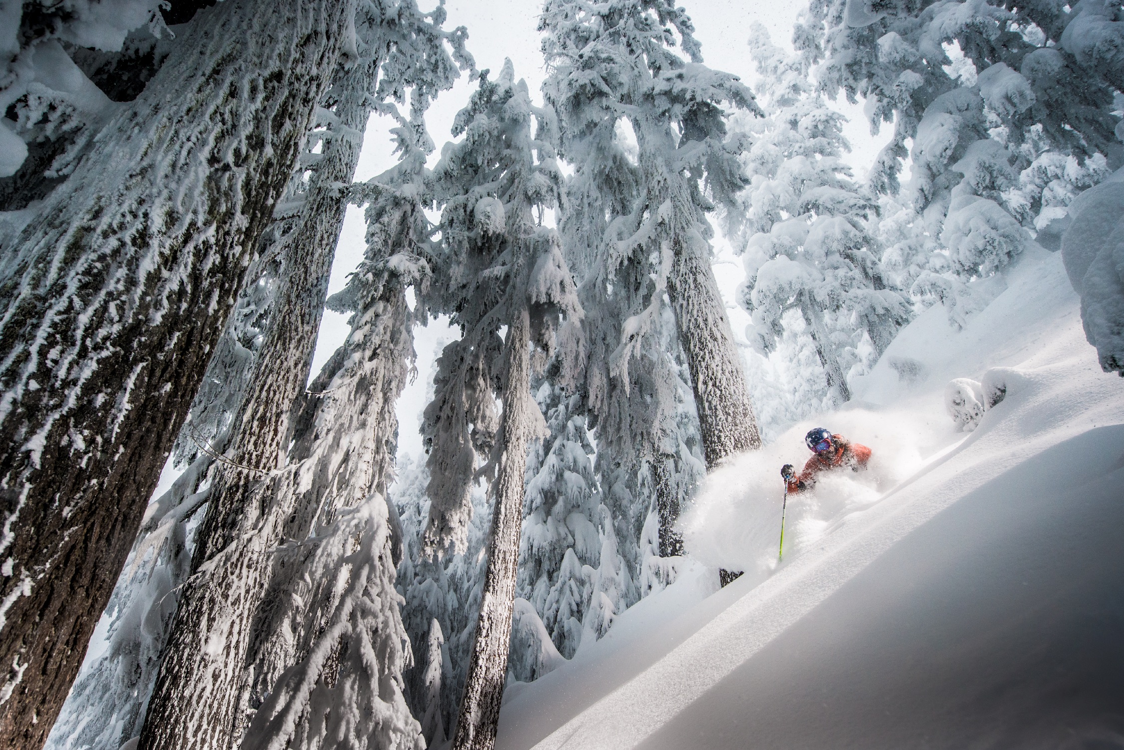
A person skies through deep snow surrounded by trees.

Skiing at Whistler Blackcomb

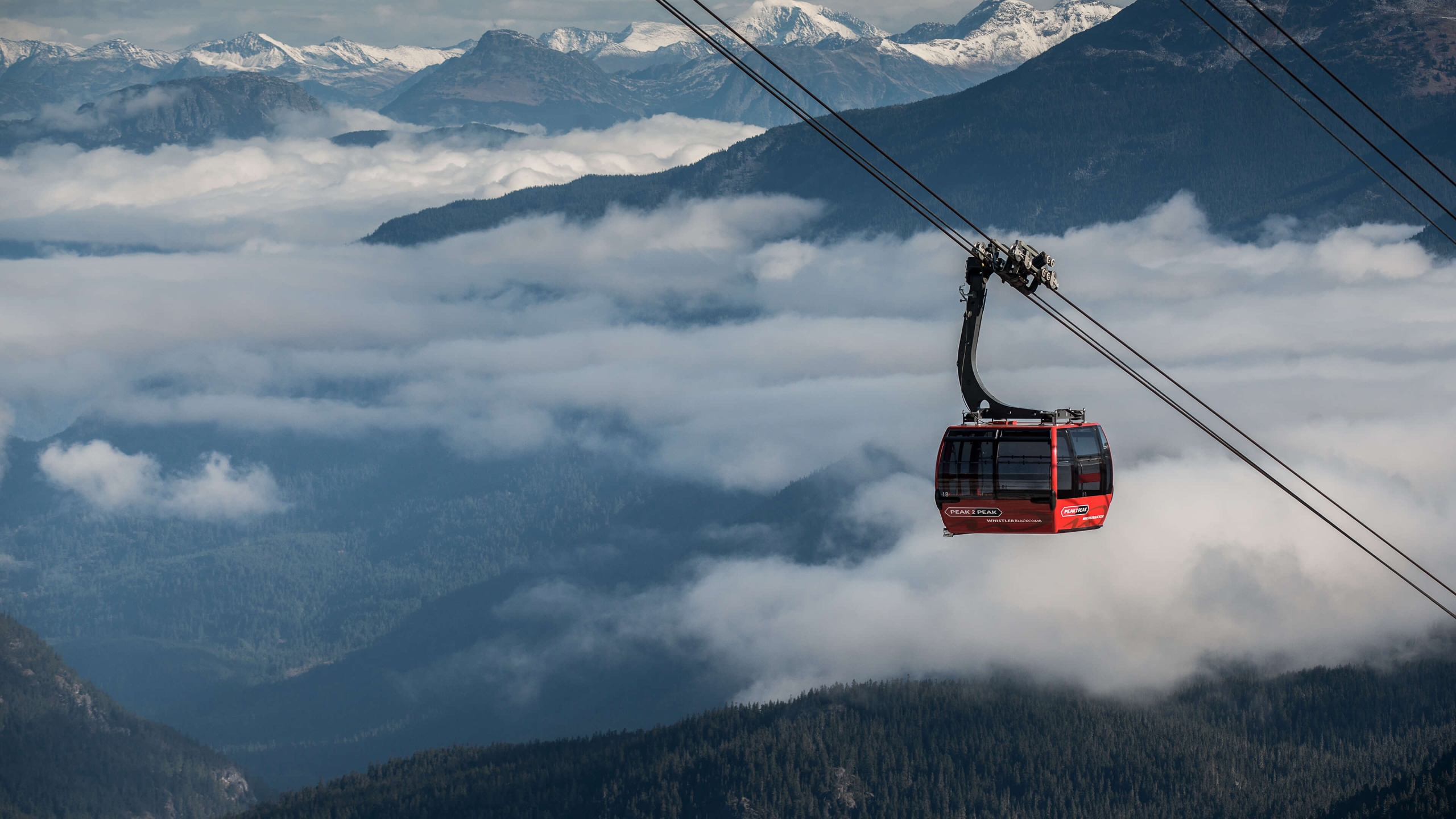
PEAK 2 PEAK Gondola traveling above Whistler, British Columbia. The red gondola is above the clouds and the trees.
PEAK 2 PEAK Gondola

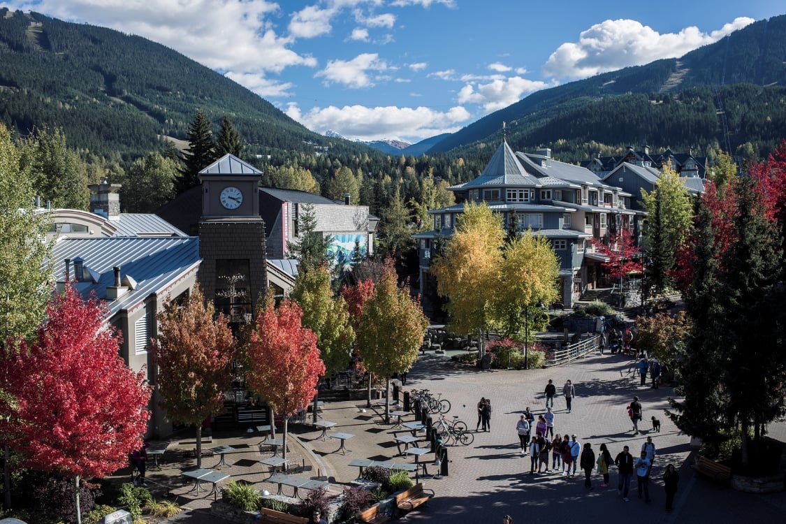
Whistler Village in the fall with people walking down the village stroll.

Fall colours in Whistler Village

Whistler is consistently ranked one of the top four-season resorts in North America, and it’s easy to see why. The village is always alive with events, celebrations, and a legendary après scene, and access to the wilderness is always steps away. Take the PEAK 2 PEAK Gondola to hit the best slopes–or trails–in one day on both of Whistler’s mountains. Dine on the mountaintop or at award-winning restaurants in the pedestrian-only village. Learn about the local First Nations at the Squamish Lil’wat Cultural Centre, housed in a stunning and eco-friendly designated LEED building (LEED is a national program promoting sustainable and green building and development practices). And see the stunning collection at the Audain Art Museum, including James Hart’s not-to-be-missed The Dance Screen.
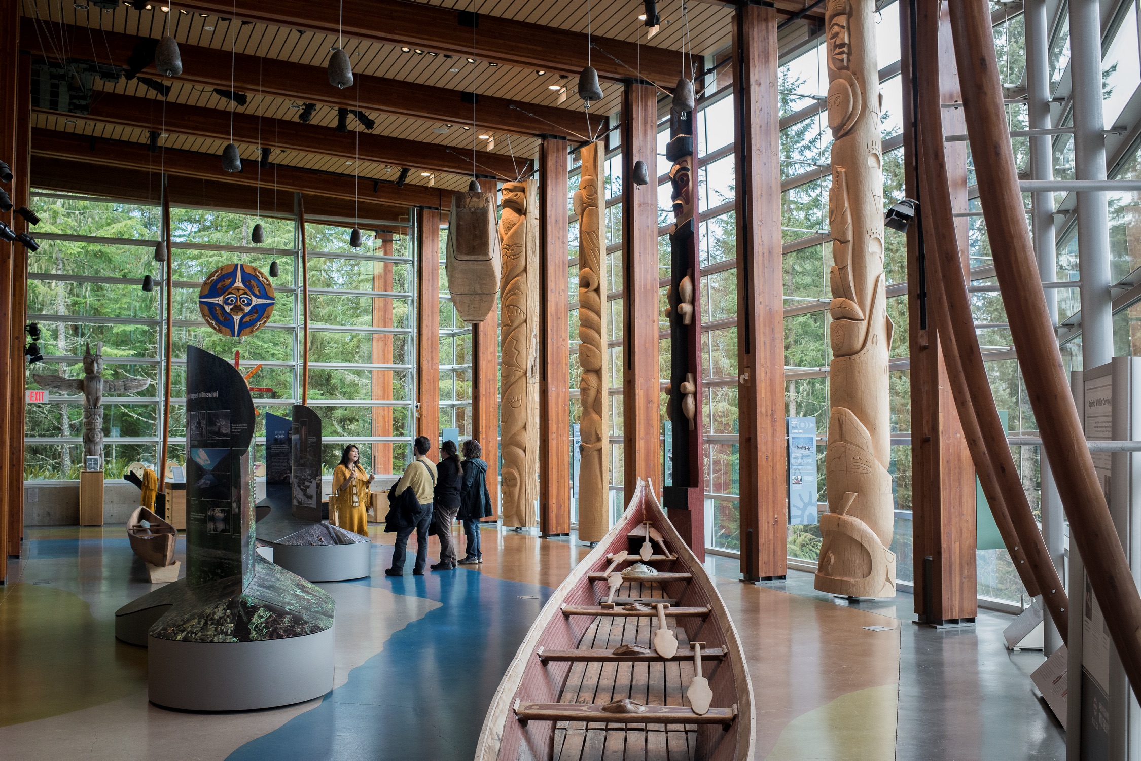
A group of visitors receive a tour of the SLCC. They are in a room with Indigenous works of art including totem poles and a canoe.

Squamish Lil’wat Cultural Centre

If returning to Vancouver via the Sea-to-Sky, look for cultural kiosk 6 near Garibaldi Provincial Park and kiosk 7 south of Britannia Beach.

Optional: For a different scenic route back to Vancouver, follow Highway 99 north to Pemberton, where you can enjoy a farm tour. Continue north to Lillooet; the stretch of Highway 99 between Pemberton and Lillooet is also known as Duffey Lake Road, and features spectacular roadside scenery. Highlights include hiking at Nairn Falls Provincial Park.

Optional: From Lillooet, continue north or head south down the Fraser Canyon via Highway 12 and Highway 1 back to Vancouver.

Please note that the Sea-to-Sky corridor is extremely popular among locals and visitors, and it is very busy in the summer. Spring and fall can be the best times to visit.  

Driving Directions

Part 1 - Vancouver
  • 6.25 km
  • 12 min
Show Map & Driving Directions

Header Photo: Heath Moffatt

Last updated: August 5, 2022

Plan Your Adventure Now

Need to Know

Find key travel information to plan your BC vacation.

Travel Info
Adventure Smart

Always check trail conditions before you head out, and no matter what outdoor activity you are planning, be prepared.

Plan Your Route
Plan Your Route

Check Drive BC for the latest information on road closures around the province.

Check Conditions
Travel Responsibly

Follow these tips to travel safely and responsibly in BC this season.

See the Tips
Places to Stay

Discover everything from luxury hotels and B&Bs to wilderness lodges and campsites.

Find Accommodation
Loading, please wait...
AI Chatbot is in-training and can make mistakes. Consider checking important information.
Terms and Conditions