


Hot Springs in The Great Wilderness
The Great Wilderness is home to many breathtaking landscapes, but among its most endearing features are hot springs, natural wonders offering solace and healing
You could spend an entire lifetime in BC and still not see it all. This becomes more apparent to me each time I set off to discover a new part of the province. This time? Bella Coola, the remote coastal community along BC’s central coast located in BC’s Cariboo Chilcotin Coast. We flew with Pacific Coastal Air from the Vancouver International Airport’s south terminal. After enjoying a quick beer on the patio, we boarded our small plane, which took off over the Salish Sea. Before we knew it, we were soaring high over the Sunshine Coast and the Coast Mountains, providing us with some staggeringly gorgeous views of the glaciers below.
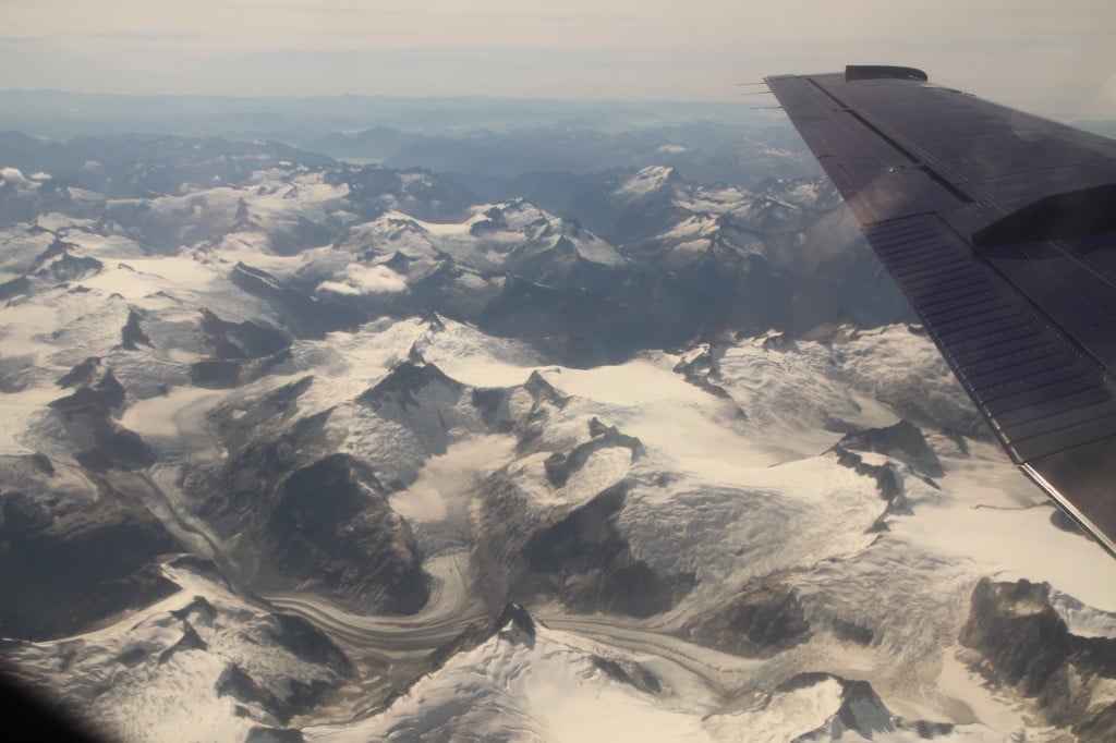
We’d be treated to this view for an entire hour before eventually landing in the tiny Chilcotin Plateau community of Anahim Lake, which felt like we were in the back of beyond compared to the metropolis we had departed from only one short hour ago. After our pit stop, we were back in the air for another 20 minutes, heading west to Bella Coola through the narrow mountain valley. I’d later learn that they have special pilots who navigate this specific Anahim Lake-Bella Coola journey!
The Bella Coola Airport sits in Hagensborg, a 10 minute drive east of Bella Coola in the lush Bella Coola valley. We picked up our bags and went next door to experience what is arguably the best way to be introduced to Bella Coola: a scenic helicopter ride with West Coast Helicopters!
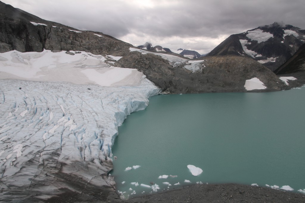
If I had any nervousness about flying in the helicopter, it immediately disappeared thanks to our pilot extraordinaire Richard, whose humour, kindness, and professionalism immediately put me at ease. (His illustrious career had him flying with the Canadian Snowbirds!) He joked with us as the rotors sped up and before we knew it away we went toward the nearest mountain slope, floating as if weightless, up Noohalk Mountain. Soon we were flying over mountainside terrain with lush temperate vegetation and waterfalls trickling down the granite surfaces, before manoeuvring towards immense glaciers.
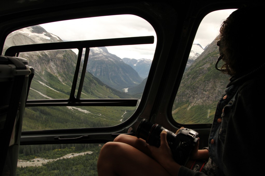
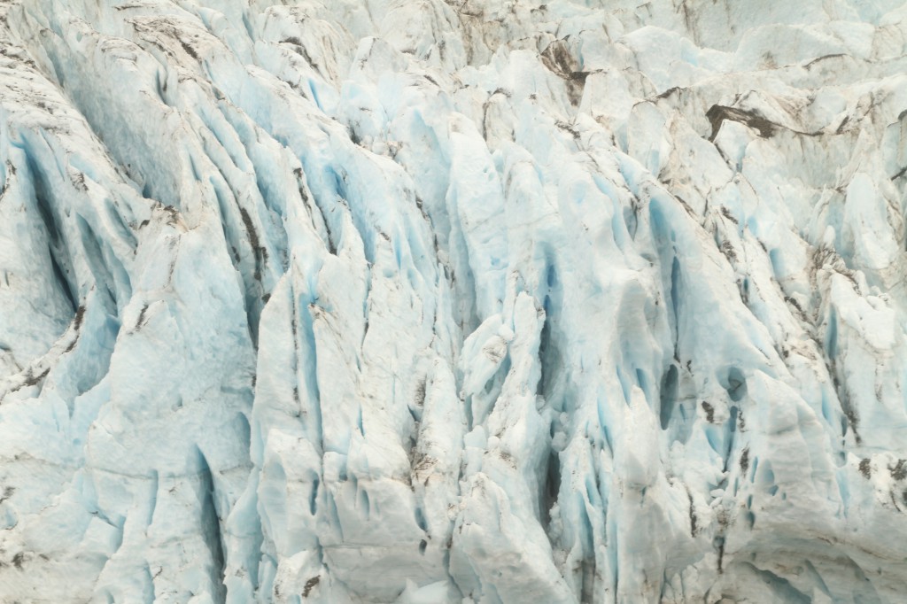
The glacier crevasses were deep, revealing hints of turquoise from the glacial silt trapped within the ice. “Let’s try to land on the glacier!” Richard told us. But there was too much slope, so off we went, continuing on to mountain peaks where the glaciers melted off into lakes.
We crossed from one mountain to the next, where Richard spied a tiny rocky slope and asked us if we wanted to land there. I wondered how we’d manage to balance our helicopter on that tiny piece of land, but as we approached it, it became apparent that the tiny rocky slope was huge, and could accommodate us with plenty of room to spare.
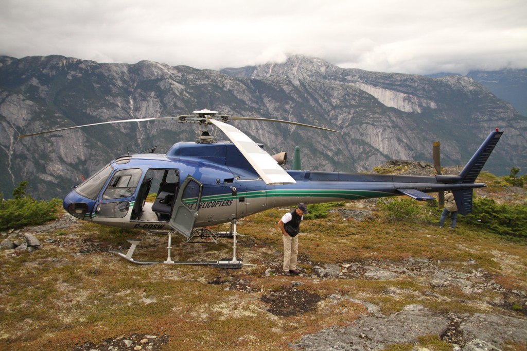
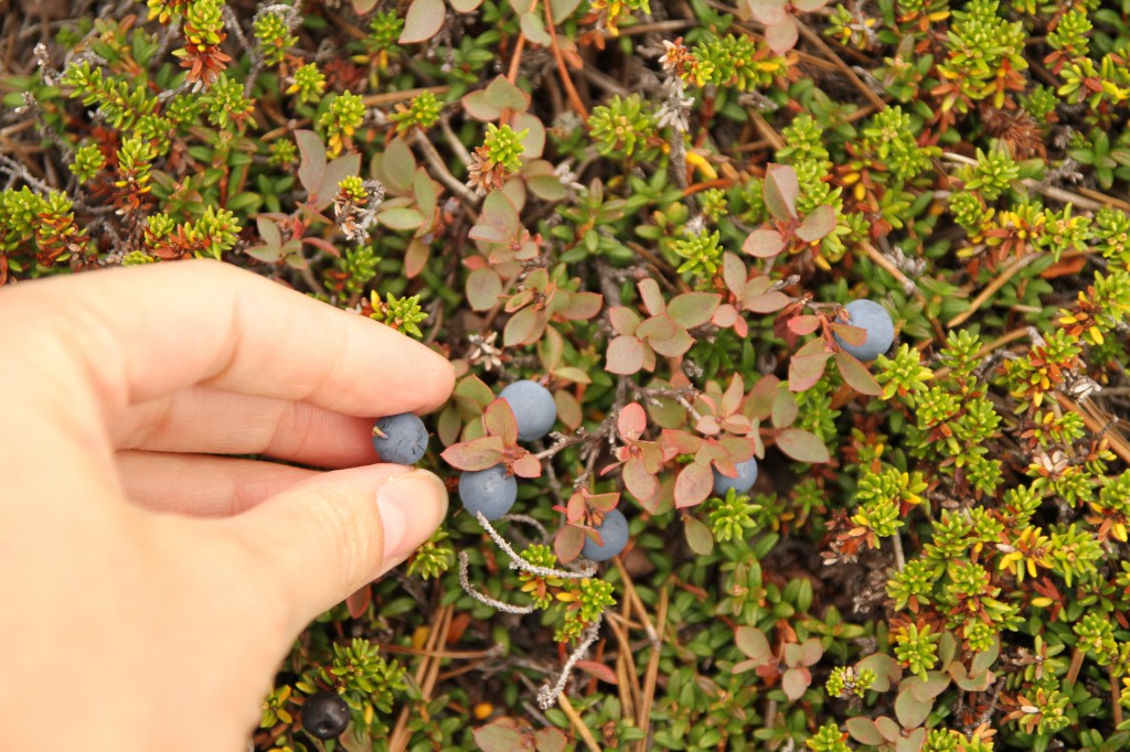
We got out of the helicopter and stepped on the north-facing peak of Noohalk Mountain. We all immediately noticed the wild huckleberries and blueberries growing underfoot.
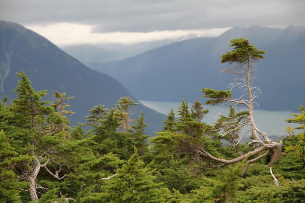
A cool wind was blowing, which was only enhanced by the stunted windswept trees that scattered across the alpine granite terrain. We could see the streets of Bella Coola and North Bentinck Arm in the distance below the low-lying clouds. I thought it was the coolest place I had ever been.
Like all good things, our helicopter ride had to come to an end. Richard started up the rotors, and within a minute, we were back over Hagensborg to where we started.
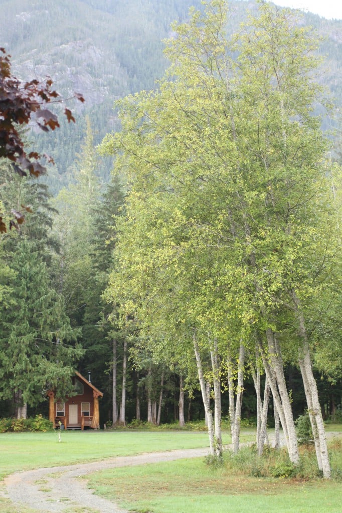
That evening we stayed at one of the beautiful, modern log cabins tucked away in the woods at the Bella Coola Adventure Resort—a grizzly bear and wilderness adventure tour company. Though bears are known to visit the property, our only wilderness sighting for the evening was a Spotted Tussock moth caterpillar and a bumblebee!
Our cabin had a full kitchen, a wood burning stove, a bathroom, and two beds—perfectly cozy and comfy. Our host for the evening was Leonard Ellis, owner and operator of the resort, an expert on grizzlies and the Bella Coola region. Leonard lives on site, and he invited us into his home as if we were long lost friends. We sat on his patio while he cooked us local BC spot prawns and freshly caught halibut, as well as honey carrots and potatoes freshly harvested from his garden. We spent the entire evening at his home exchanging stories, and some of the stories Leonard told us about his encounters with grizzlies and wolves were unbelievable!
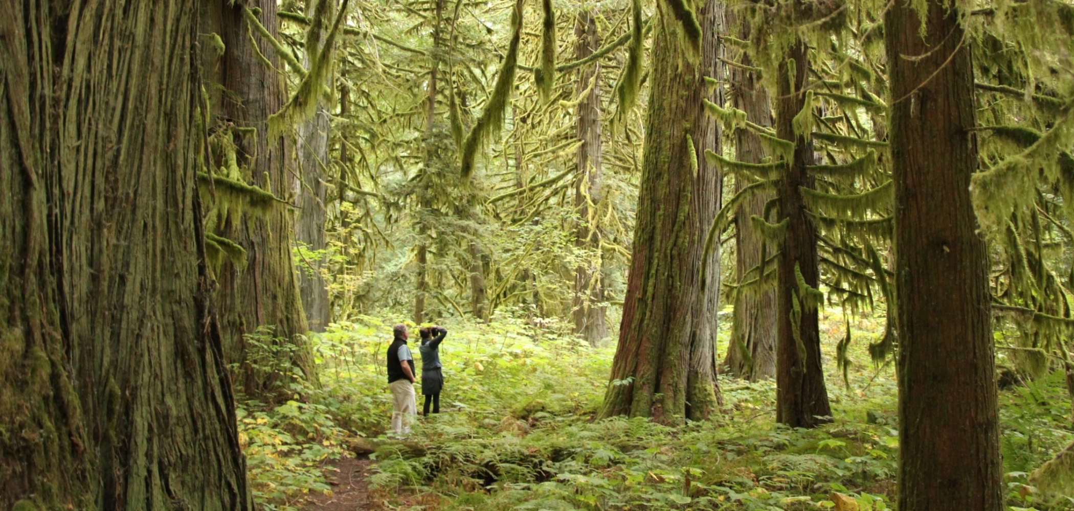
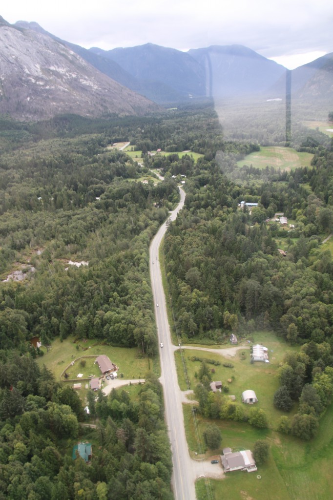
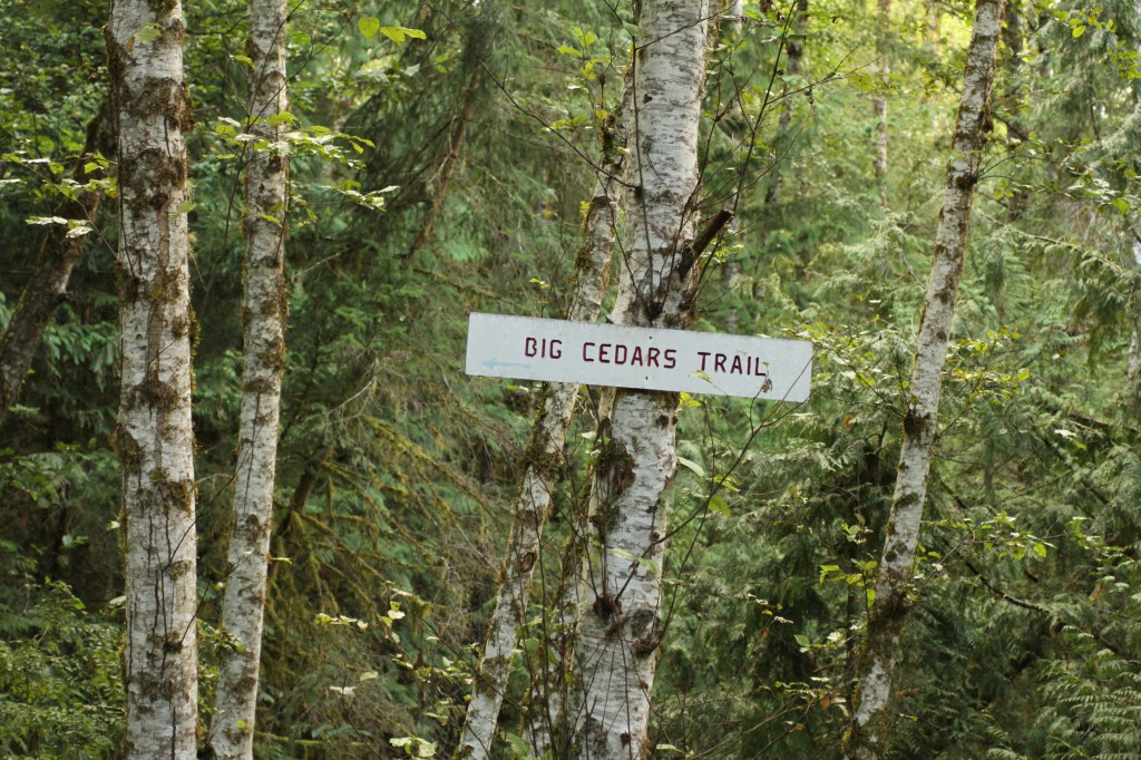
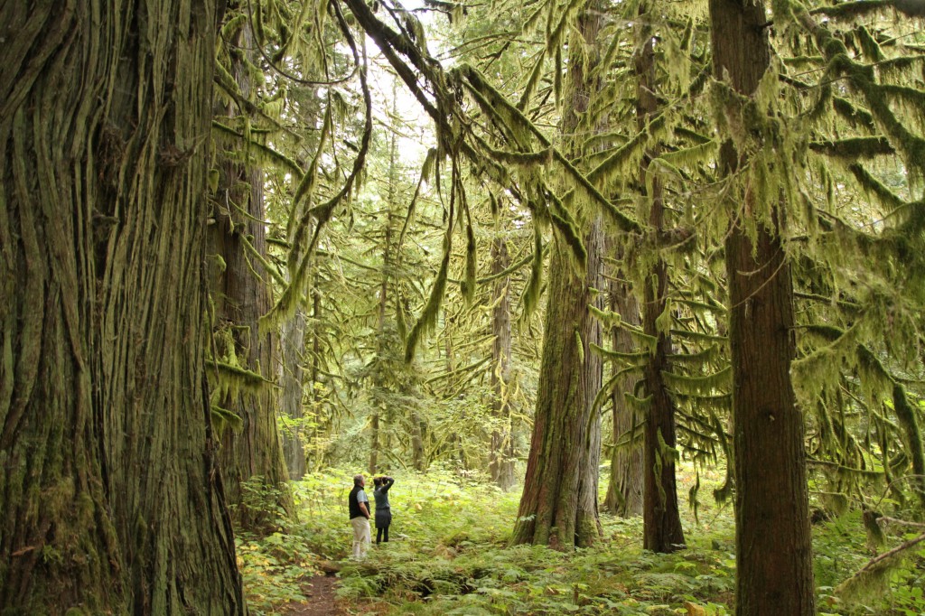
The next morning we woke up to a low lying fog hanging over Hagensborg. With a few hours to explore, Leonard drove us into Bella Coola, first stopping to walk the Tall Cedars Trail. Only minutes from the Highway 20, we were soon deep within the lush temperate rainforest where majestic stands of Western red cedars stood.
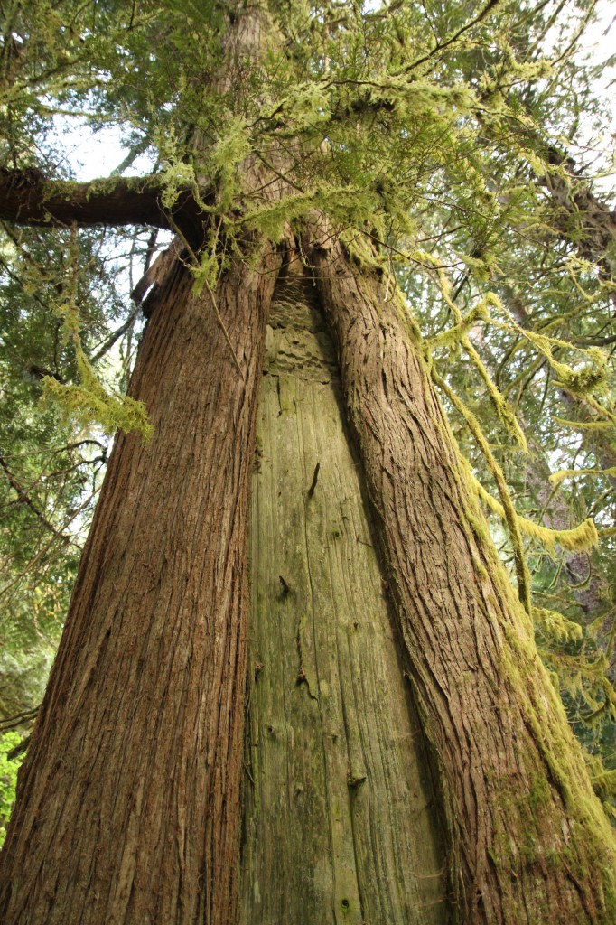
Some of the cedars, Leonard pointed out, were culturally modified trees. This one in particular had its bark traditionally harvested by the local First Nations many years ago. You could still see evidence of the tools used.
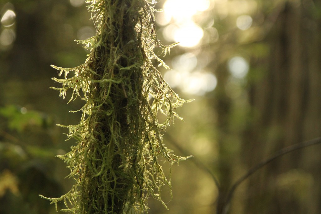
Although I’m used to the temperate rainforest ecosystems around Vancouver, the rainforest here was sublime — larger, wilder, lush, and pristine. There was a tranquillity in the forest here. Located in part of BC’s Great Bear Rainforest, it’s absolutely enchanting, like going back in time; I knew we were only scratching the surface.
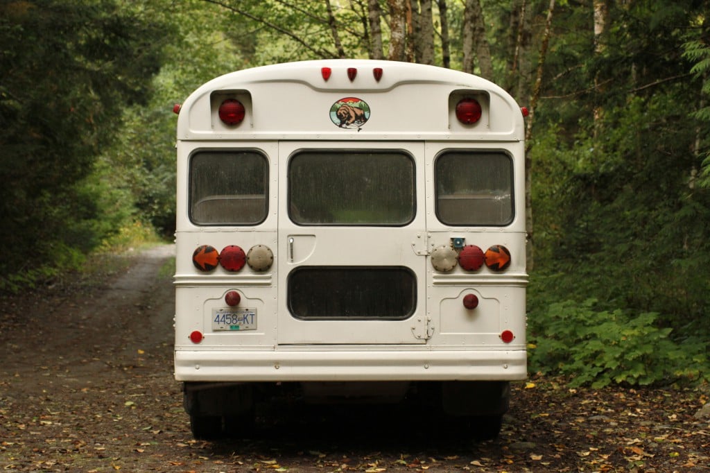
We hopped back in the bus and drove into Bella Coola for a hearty breakfast at the Bella Coola Valley Restaurant. While eating my “Bella Breakfast” (basted eggs with tomato and mozzarella on an English muffin), I noticed that the diner was a bit of a local hub, where everyone knew each other and was catching up on local politics over a cup of coffee. After breakfast, Leonard wanted to quickly show us an extremely important Nuxalk Nation cultural site: the petroglyphs. “If there’s one thing you have to see in Bella Coola, it’s the petroglyphs.”
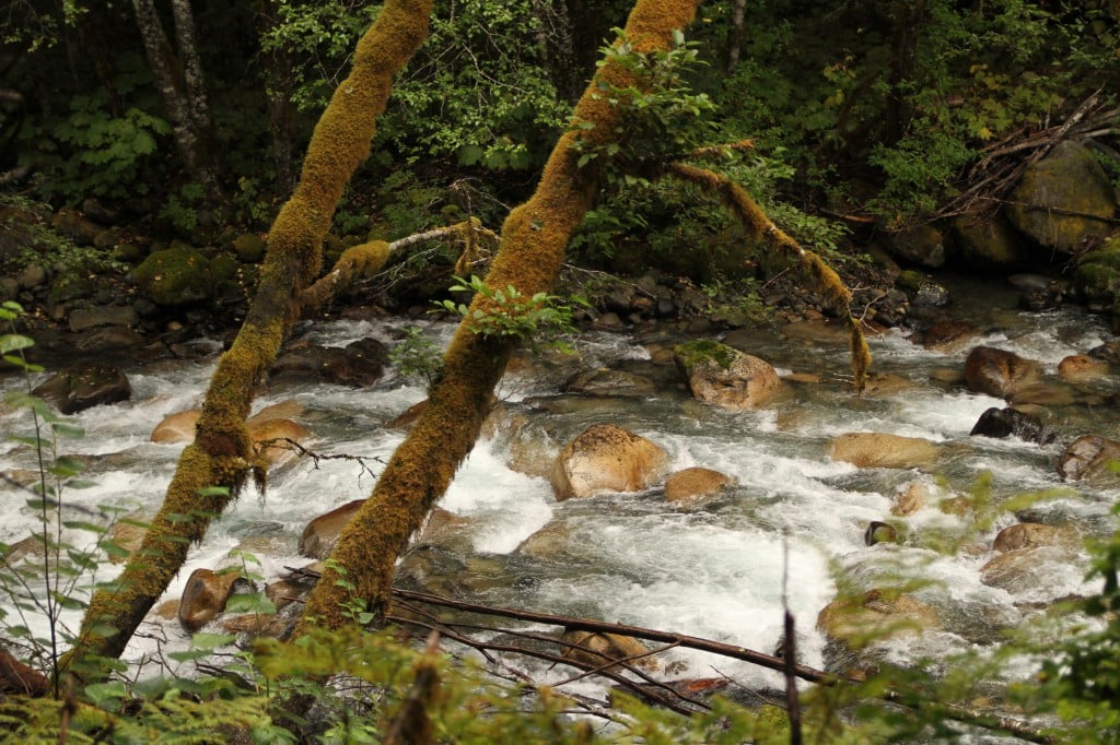
To get to the petroglyphs, you drive through the Nuxalk Nation until you arrive at a parking lot at Thorsen Creek. The trail follows the creek, which leads up the rocky hillside. We scrambled up the hill for about ten minutes before the petroglyphs began to reveal themselves. According to archaeologists, the petroglyphs are aged between 5000 and 10,000 years.
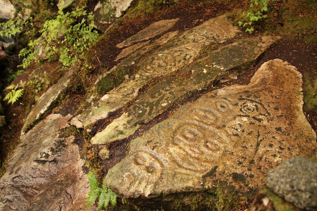
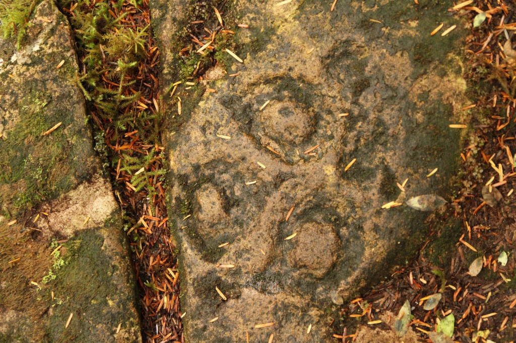
While I photographed the petroglyphs, Leonard went to chat with a local Nuxalk man, Brian, who appeared to be tending the petroglyphs, rinsing them with buckets of cold water. “He comes up here every day,” explained Leonard. Apparently Brian spends all day with petroglyphs, a direct link to his ancestors, and loves telling visitors stories about their meaning and his culture. Although we didn’t have time to stay, deep down I felt that I’d be back here again soon.

The Great Wilderness is home to many breathtaking landscapes, but among its most endearing features are hot springs, natural wonders offering solace and healing

Meet two professional skiers who discovered more than just incredible slopes in BC—they also found a place to call home.

The sheer size of The Great Wilderness defies comparison—yet, for millennia, people here have carved out lives in its farthest corners.