

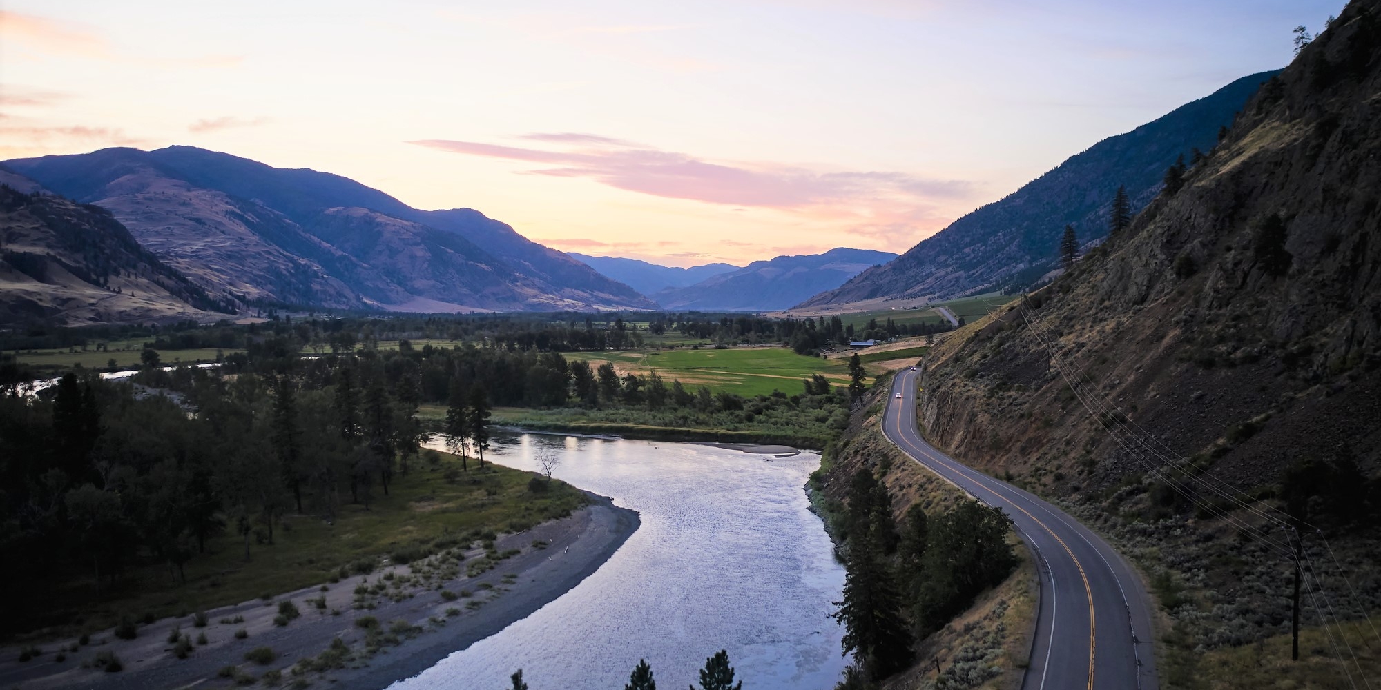


Rainforest to Rockies: Along the Trans-Canada Highway
7-10 Days / 778 km (483 mi)
A quintessential Canadian journey from Vancouver on the Pacific Coast to the Canadian Rockies along the scenic Trans-Canada Highway 1.
Wineries or wildlife? Hiking or heritage? Backcountry or boutiques? Whatever rocks your perfect road-trip, the long and winding road from Vancouver to Fernie via the Crowsnest Highway delivers with these memorable detours.
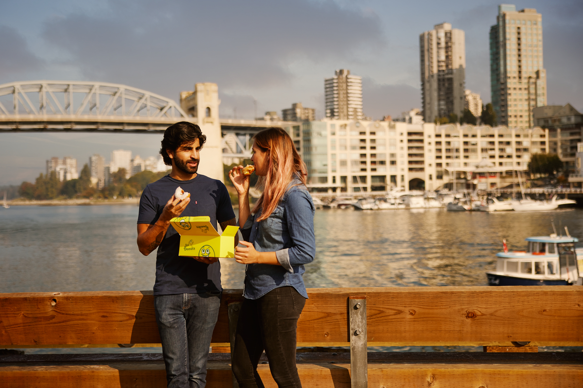
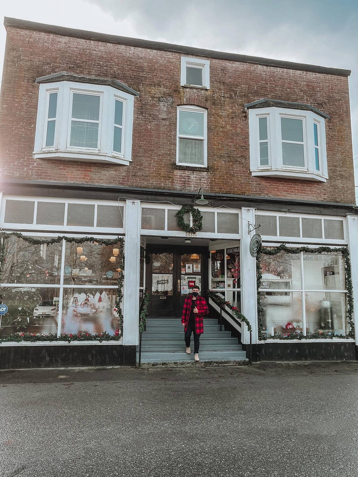
Don’t leave Vancouver without a box of the city’s favourite donuts on the front seat. People have been lining up for Lee’s Donuts classic Honey Dips (and more!) since 1979, when this mom-and-pop shop opened in the Granville Island Public Market. (There are now satellite shops in downtown Vancouver and Willowbrook Mall in Langley.) About an hour further along Highway 1 in Abbotsford is the Clayburn Village Store—a photo-worthy historic red brick building that often stars in holiday movies. Watch for Exit 83 off the Trans-Canada to indulge in some gourmet gifts and nostalgic candy treats.
Just off the Trans-Canada Highway in Hope, it’s all eyes on you in the Owl Street Café: this quirky restaurant is home to more than 300 decorative owls donated by loyal customers from around the world. Built in 2003 using local curly maple, pine beetle wood from nearby Manning Park, and old barn wood from neighbouring Chilliwack, it’s a fun spot to fuel up before heading farther east. Take Exit 168 off of Highway 1.
Granville Island Public Market, Hubert Kang | Clayburn Village Store, Jon Wiebe | Cathedral Provincial Park, Johan Lolos
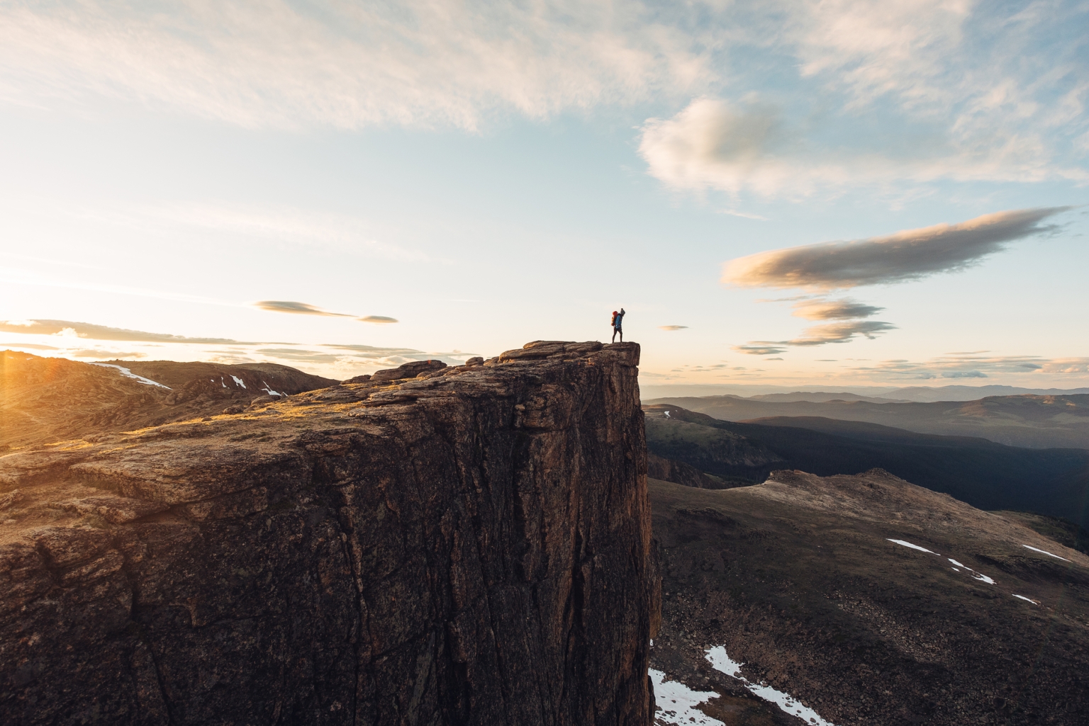
Two hours beyond Hope on Highway 3, Keremeos is a popular stop for delicious locally grown fruits and vegetables. Then it’s a hard right off the Crowsnest to head southwest towards historic Cathedral Lake Lodge in the heart of Cathedral Provincial Park—one of BC’s most beloved protected areas. Here you could spend a few days exploring dozens of kilometres of beautifully maintained alpine hiking trails, or take a single afternoon to climb the Rim Trail for stunning 360-degree views of the Coastal Range, North Cascades, and Thompson Plateau. No time for trails? Keep going past Keremeos to Anarchist Mountain Lookout—just 10 minutes beyond Osoyoos on Highway 3—for panoramic lake views with less sweat!
About 200 km past Osoyoos is the turnoff to Highway 3B en route to Rossland—a charming stop for some quality retail therapy at unique downtown boutiques. Then it’s just another half-hour back up to Castlegar along Highway 22 to stroll the annual SculptureWalk—a rotating exhibition of outdoor sculptural art by international artists displayed throughout downtown. Be sure to cast a vote for your favourite sculpture—the People’s Choice winner is purchased by the city for its permanent collection. Rejoin Highway 3A just north of Castlegar for the 45-km drive to the picturesque town of Nelson, where you can catch a ride on historic Streetcar #23 before topping up your caffeine levels at Oso Negro Café, renowned for its delicious artisanal coffee blends. Then it’s on to Creston, 1.5 hours south on Highway 6 and east again on Highway 3, where you’ll traverse Kootenay Pass, BC’s highest at 1,775 m.
Downtown Rossland, Dave Heath | Creston, Kootenay Rockies Tourism/Mitch Winton | Fort Steele Heritage Town, Kari Medig
Were you even on a road trip if you didn’t visit a quirky roadside attraction? The Glass House in Sanca—a half hour north of Creston on Highway 3A—is definitely memorable: a house built in 1952 by a retired funeral director from more than half a million discarded embalming fluid bottles. Open for tours every day from May through October, it’s a pretty good reminder that life is short—so if you need to relax after all that mortality reality, take your pick from one of Creston’s outstanding small wineries, breweries, or distilleries, or check out the local wildlife at the Creston Valley Wildlife Centre.
Just an hour beyond Creston is the small city of Cranbrook, a thriving mountain community snuggled into the Kootenay River Valley between the Purcell and Rocky Mountain ranges. Take in the epic views from Eager Hill—a grassland knoll that was once a fire lookout tower. The easy 1.5-km trail gains 125 m to the viewpoint and is open year round. (Locals know the route by heart, but visitors will want to check out directions here.) There’s a lot of history in those hills, so it’s definitely worth the 15-minute drive northeast along Highway 95 to Fort Steele Heritage Town, an acclaimed year-round living history museum.
Julie has lived on one island or another for more than half her life and is delighted to now call Victoria, BC home. An award-winning writer, she has worked at CBC Radio, Western Living, and The Globe and Mail, and freelanced for publications such as Canadian Living, Canadian Geographic, National Post, Vancouver Sun, Ottawa Citizen, Georgia Straight, Report on Business, Edible Vancouver Island, and Style at Home.

7-10 Days / 778 km (483 mi)
A quintessential Canadian journey from Vancouver on the Pacific Coast to the Canadian Rockies along the scenic Trans-Canada Highway 1.

7-10 Days / 709 km (441 mi)
Find adventure as you travel from Vancouver and the Pacific Ocean to Mount Robson, the Canadian Rockies’ highest peak.

4 to 6 days / 694.88 km (432 mi)
Witness the powerful effects of nature on this picturesque route through diverse mountain landscapes, starting and ending in Vancouver.

7-10 Days / 2195 km (1364 mi)
Take your time and experience BC’s natural grandeur between sea and sky. Travel through ever-changing landscapes on an extraordinary signature circle route.
Check Drive BC for the latest information on road closures around the province.
Check ConditionsLearn about hiking and biking trails, provincial campgrounds, park closures, and more.
Explore
