


Explore Vancouver
Length -
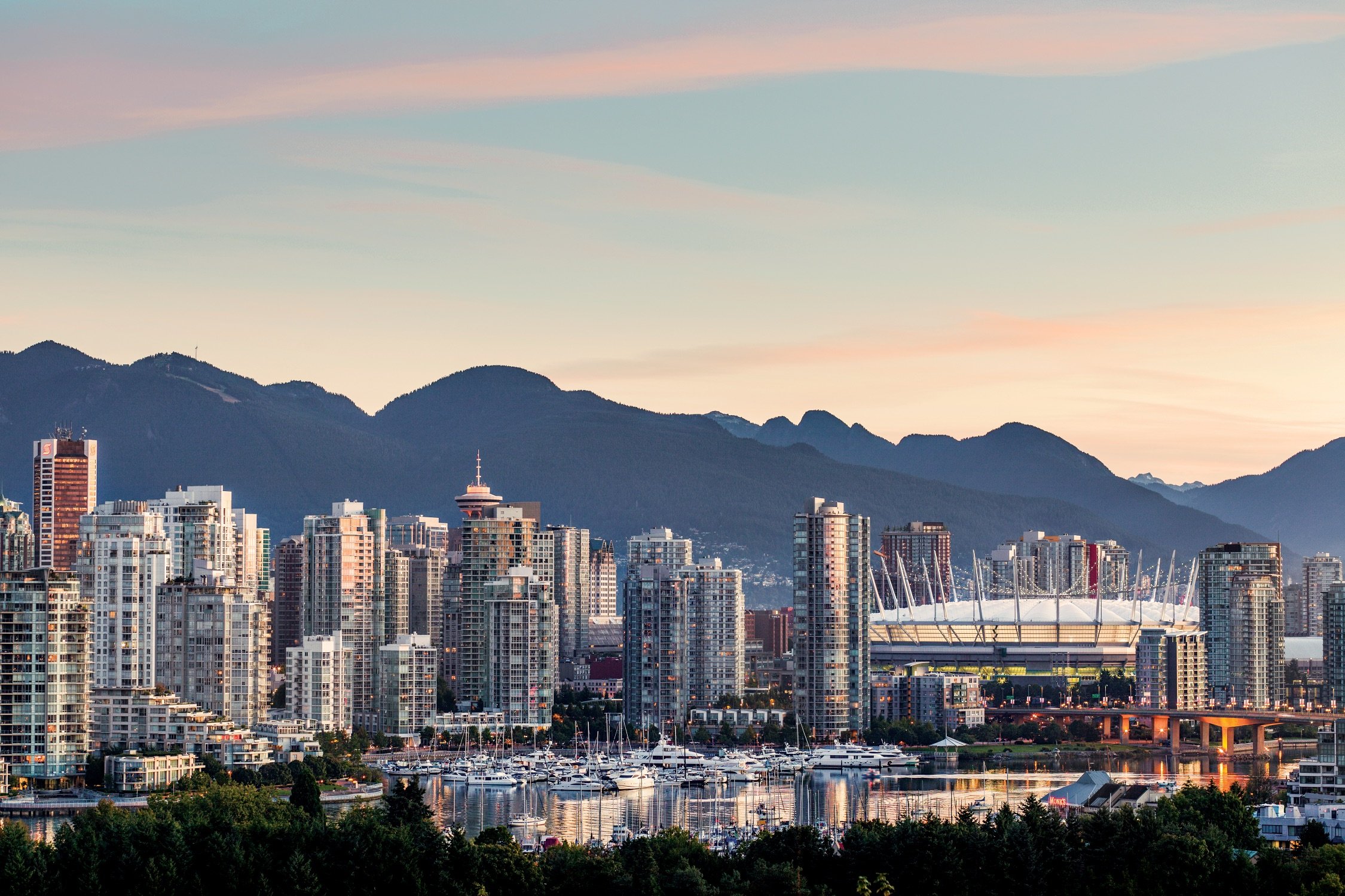
As British Columbia’s largest city, Vancouver is a haven for outdoor enthusiasts and cosmopolitan adventurers alike.
Framed by the Pacific Ocean and Coast Mountains, Vancouver’s meandering oceanside pathways are the perfect way to explore the city. Close to 30 kilometres of uninterrupted waterfront path surround Vancouver’s favourite neighbourhoods, including the seawall around Stanley Park.
Planning a trip to Vancouver? Chat live with local experts on Destination Vancouver’s Virtual Visitor Centre. Get your trip-planning questions answered, download maps and guides, and book your activities all in one handy place.
Learn MorePlanning a trip to Vancouver? Chat live with local experts on Destination Vancouver’s Virtual Visitor Centre. Get your trip-planning questions answered, download maps and guides, and book your activities all in one handy place.
Learn MoreThe city is renowned for its natural beauty and cultural diversity. For thousands of years the Coast Salish people have called the area now known as Vancouver home, and their history and cultural traditions, deep respect for nature, and spirituality are all tightly woven into the city’s cultural fabric.
Top spots for exploration include downtown’s Stanley Park, with its old-growth cedar forests surrounded by water views and sandy beaches, and the Granville Island Public Market. Other popular neighbourhoods include the West End, Gastown, Yaletown, and Chinatown.
Discover more about Vancouver—BC’s biggest city, perched on the edge of wilderness.
Visit Destination VancouverThe City of Vancouver is a coastal city in southwestern British Columbia, on the traditional territory of the Squamish, Musqueam, and Tsleil-Waututh Nations. The downtown core of the city is on a peninsula bordered by English Bay and Burrard Inlet.
Metro Vancouver encompasses 21 municipalities in the surrounding region. The area is the delta of the mighty Fraser River, which flows into the Salish Sea.
A city set between ocean and mountains, where urbanites play outside
See what's happening now with these recent posts.
Visitors to British Columbia can arrive by air, road, rail, or ferry.
Visit TodayFive-star hotels, quaint B&Bs, rustic campgrounds, and everything in between.
Rest Your Head

