
Geological Wonders of The Great Wilderness
These awe-inspiring landscapes are more than fascinating natural wonders. They hold wisdom that helps us find our place in the world.
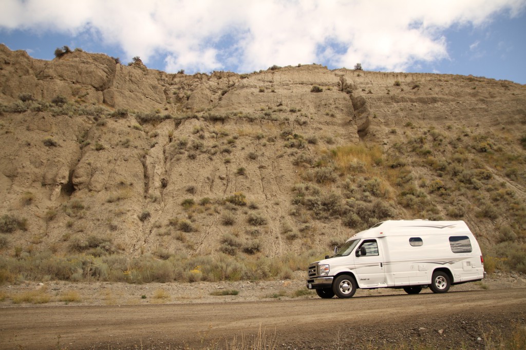
Of all stretches of road to learn how to drive an RV on, I certainly picked a winner. The Hill is the stretch of Highway 20 that connects the Bella Coola Valley to the Chilcotin Plateau. For 40km (24.8 miles) it climbs approximately 5000 feet (1524 metres) along a steep mountain slope with grades of up to 11%. It’s a hard packed gravel road with several switchbacks, no guardrails, with some insane drop offs. In some places it’s only wide enough for one car to pass at a time. Needless to say, The Hill is notorious, and I would be lying if I said I wasn’t a bit nervous to drive it.
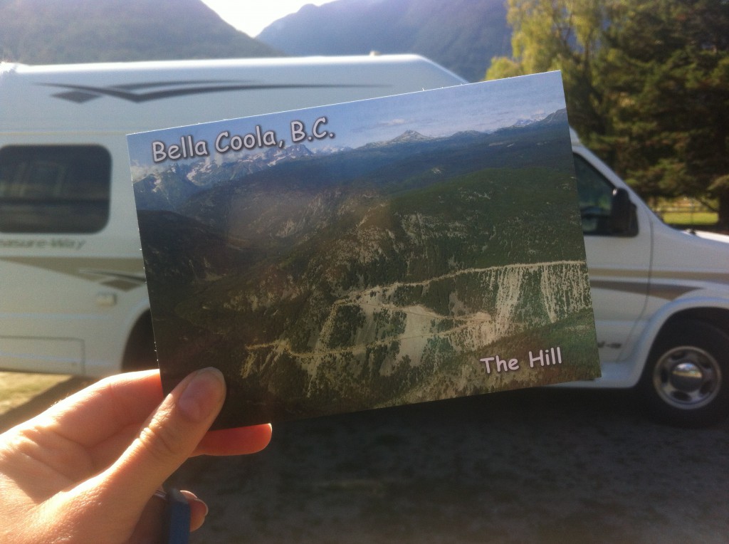
The Hill also has a really cool story. Its other name is the Freedom Road. Prior to the 1953, Bella Coola was extremely isolated, only accessible by boat or plane. The locals had asked the government to build a road connecting Bella Coola to the rest of the province, but the proposal had been continually declined. Exasperated, the locals finally took it upon themselves to (successfully) build the road, the Freedom Road – a road that has been used (and improved upon) ever since.
Fortunately for us, the drive up The Hill was uneventful. A short distance from Tweedsmuir Park Lodge, the paved highway turns to gravel, and there are warning signs about the steep grades ahead, including a rather ominous “STEEP GRADES AHEAD – BRAKES ADJUSTED?” road sign. As you start climbing, you realize the road is actually quite wide – wide enough for two logging trucks to pass with room to spare. On that Monday afternoon, we only ever passed four other cars, including a massive RV towing a boat! Where I got anxious was the switchbacks, where things got narrow and you couldn’t see if another car, truck, or RV was coming the opposite direction. You just kind of had to hope for the best. The idea of driving the RV close to the cliff makes me sweat even now, but fortunately we never had to deal with passing on ridiculously narrow segments of road. Despite my initial nerves, I would drive The Hill again. Yes, even in an RV. Just follow these words of advice, and you’ll be fine:
Drive slow.
Drive in the middle, unless passing.
Don’t look down.
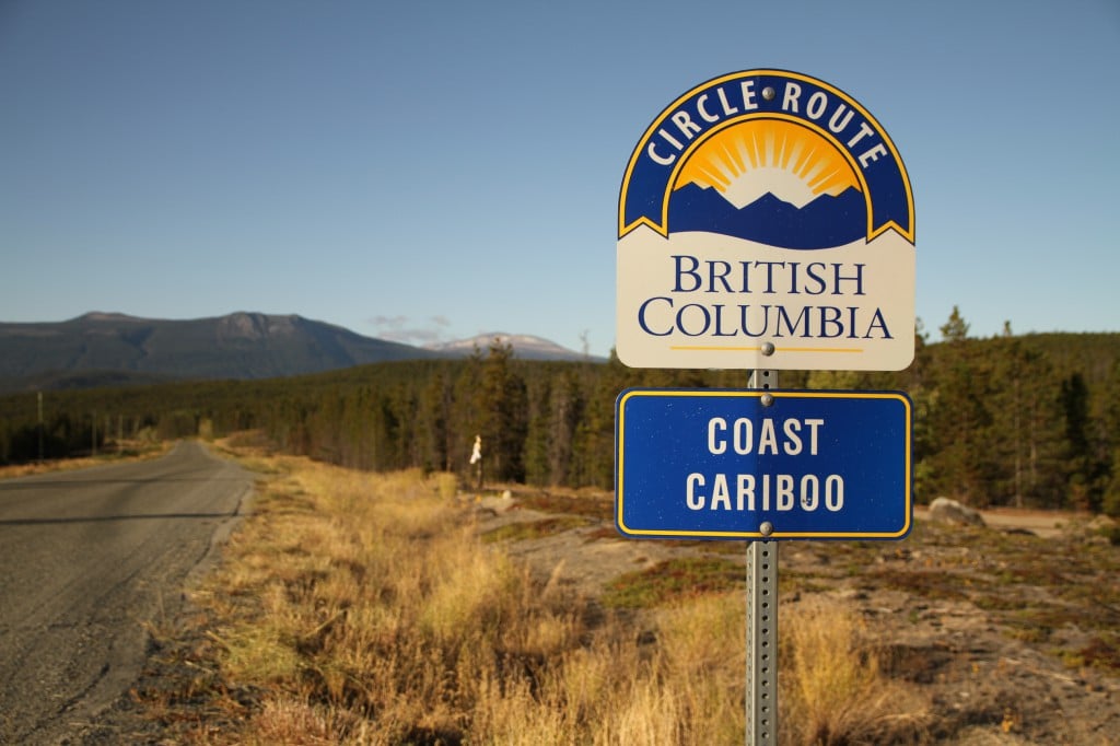
While I didn’t take any photos of the drive itself, I did take this post-Hill victory photo of the road we had just driven on.
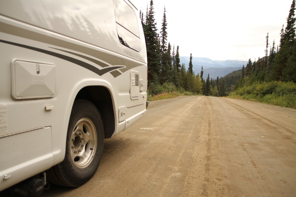
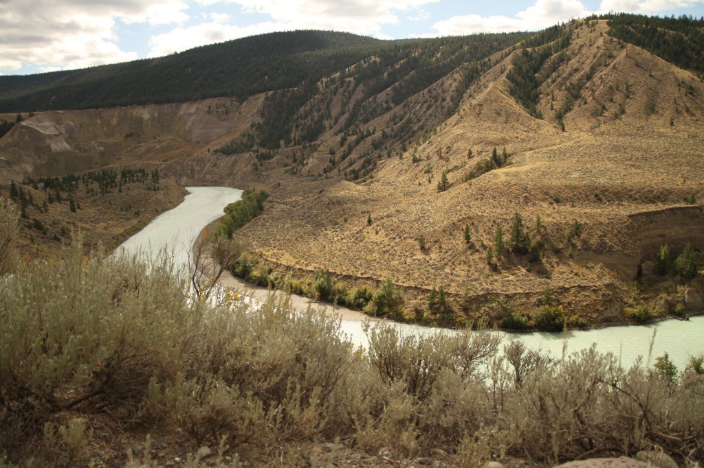
I stepped outside into the cool mountain air, mosquitos buzzing in droves, and wanted to kiss the ground of the Chilcotin Plateau. I looked behind and could see the Freedom Road in all its glory. It was time to say goodbye to the rainforests of the Bella Coola Valley, and say hello to the ranches and lakes of the Chilcotin Plateau!
Even at the top of the Hill and for many kilometres beyond, you’re still within the boundary of Tweedsmuir Provincial Park. There’s no sign of civilization for a good hour until you reach Anahim Lake.
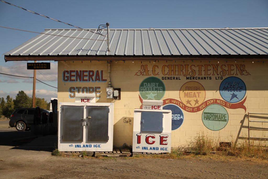
You really feel like you’re in a frontier town in Anahim Lake, and to be fair, it’s not far from the truth. We stretched our legs and picked up some snacks from Anahim Lake’s general store, McLean’s Trading/Christensen’s. That’s one thing I’d look forward to along our road trip: every small town in the Chilcotin has its own quirky general store, selling everything from food and liquor to hunting and fishing supplies, hardware, souvenirs, and in many cases, a surprisingly diverse collection of local books.
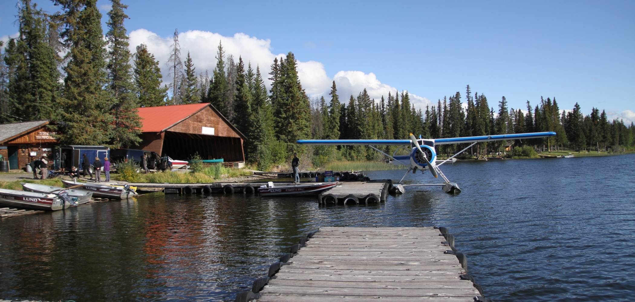
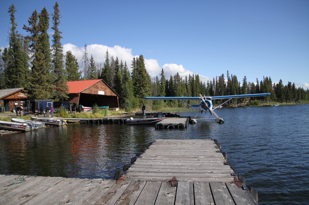
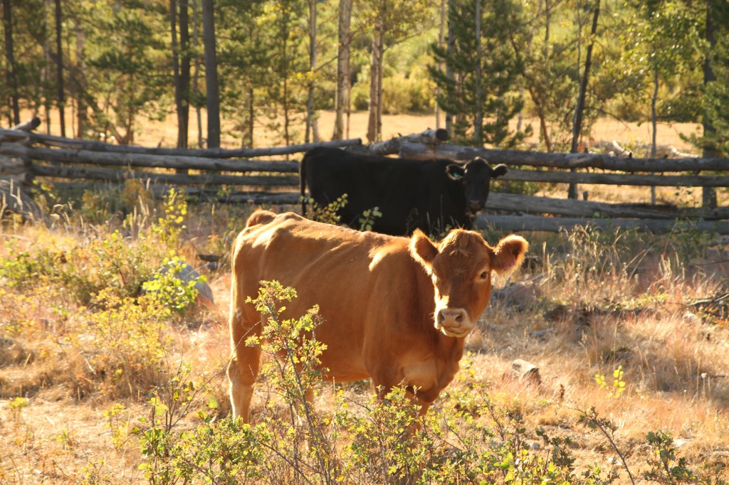
A half hour drive south along Hwy 20 is the Chilcotin community of Nimpo Lake. Nimpo Lake is one of the largest lakes in the region, and it’s a popular departure point for floatplanes. We stopped by Stewart’s Lodge to admire the view and ended up chatting with the owner Duncan Stewart and wilderness guide Cristina of Yoho Adventures. Although we were unexpected guests, they made us feel at home and treated us to a delicious smoked trout, which we shared with a group of Australian guests who were preparing to fly out on a backcountry hiking expedition in the Chilcotins. With the lakeside log cabins around us, the loons on Nimpo Lake, and the late summer warmth, I really didn’t want to leave.
Our next stop was Nimpo Lake General Store to fill our RV with gas. Here I learned that when you’re driving an RV, everyone knows you’re from out of town and that you’re likely to be approached by friendly, curious locals. “Where y’all from?” asked the rugged bearded gentleman filling up his truck next to us. We explained that we were on a road trip from Bella Coola, and that we were heading back home to Vancouver. Upon learning of our urban origins, he started to boast about the real men that live in the Chilcotin. “We don’t have no Gucci guys here!” he grinned.
Our accommodation for the evening was the campsite at Clearwater Lake Lodge along the eastern shore of the lake, only a short drive further down the highway in Kleena Kleene. We’d be spending the night in our RV for the first time, lakeside, with the whole of Clearwater Lake practically to ourselves.
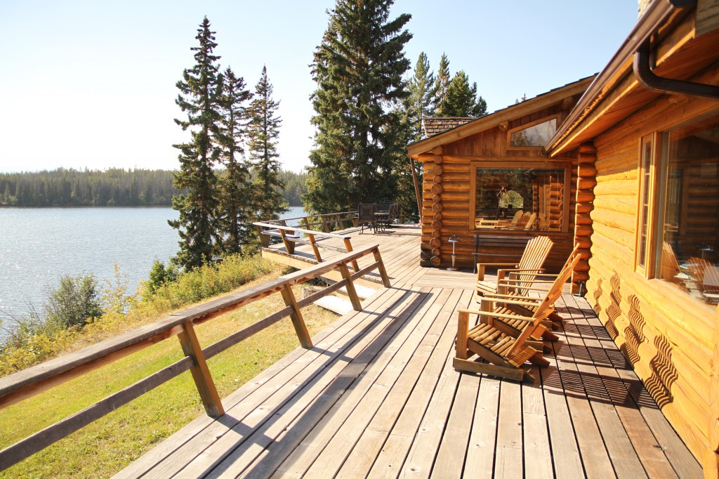
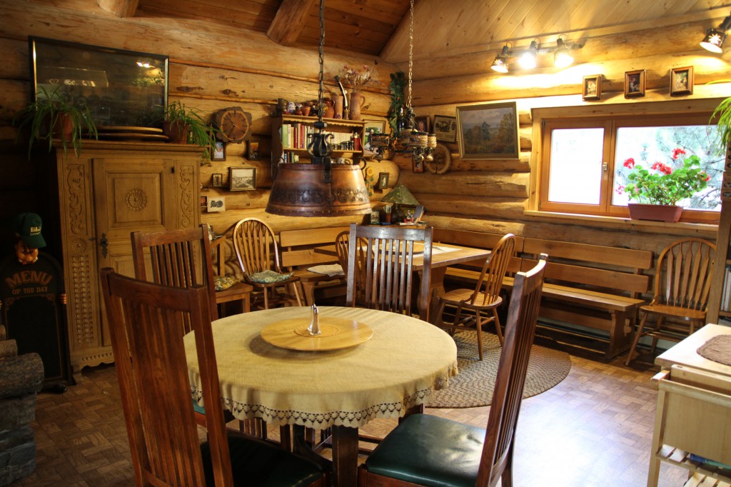
We were welcomed into the lodge by Bernward and Gisela, the lovely couple who own and run the property. They moved to the Chilcotin plateau from Germany in the early 90s. Bernward used to work in construction while Gisela trained as a chef, and it was their dream to own a property in the Canadian wilderness. Bernward built the chalets and maintains the property, and Gisela cooks for the guests.
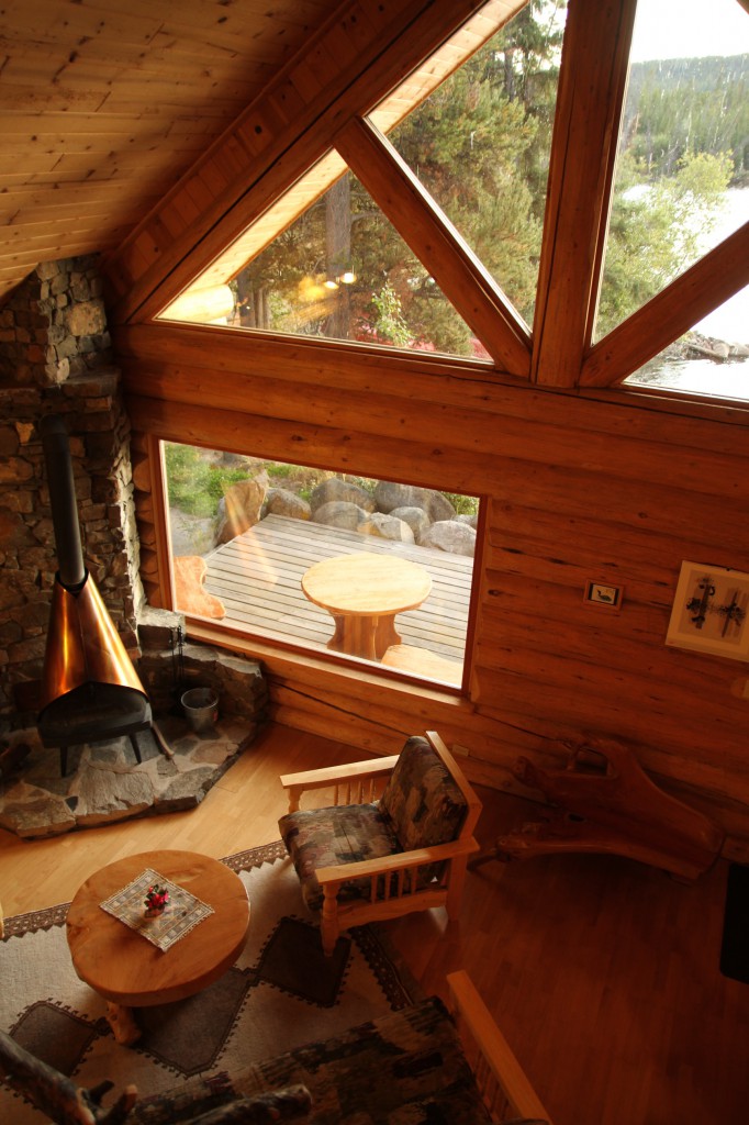
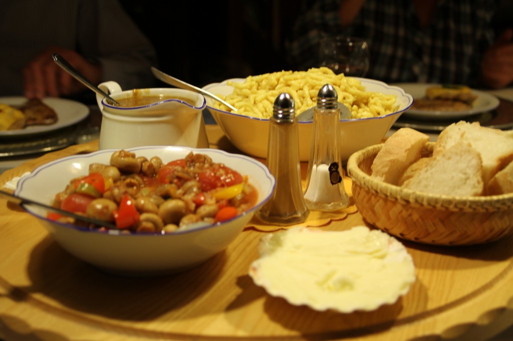
The wonderful aroma of comfort food emanated from the kitchen as Gisela was preparing our feast for that evening. She had run outside to pick some nasturtium leaves as garnish and said hello to the whiskeyjacks, who were flitting from tree to tree. Bernward lit a fire for us in the gigantic fireplace. The entire space was cozy with beautiful German furnishings. That evening we dined on vegetable soup with Gisela’s foraged mushrooms, sipped Okanagan Riesling, nibbled on black forest ham and melon, devoured schnitzel served with spaetzle, gravy, and mushrooms, finishing the meal with streusel cake, whipped cream, and coffee.
We slept like logs that night.
The following morning, we used the campground’s hot showers and enjoyed another meal with our hosts – a smorgasbord of cheese, ham, sausage, bread, as well as eggs and potatoes. This gave us the fuel for our second day on the road. It was sad to be leaving, but we had 425km (264 miles), about six hours of driving ahead of us.
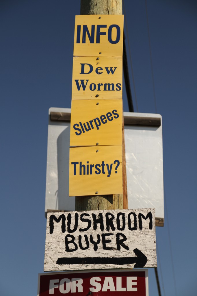
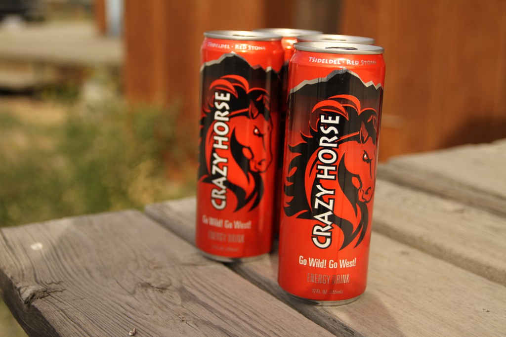
We didn’t have any hard set plans for the day, and tried to be spontaneous with our stops. We spent an hour and a half on the road before stopping at the Redstone Gas Bar to pick up some cans of Crazy Horse Energy Drink. While not normally energy drink consumers, we were sold on the idea of a local product made by the Alexis Creek Indian Band, inspired by local First Nations ingredients such as Saskatoon berries and rosehips. It turned out the gas station, located in the Tsilqot’in community of Tsi Deldel, was a pretty photogenic place as well.
A short drive further we arrived at Kinikinik, a restaurant, store, abbatoir, and now accommodation, that was recommended to us by several people we had talked to. If you’re into supporting local food producers, a stop here is an absolute must. Kinikinik sells in their store and serves in their restaurant the grass-fed, organic meat that they raise on their nearby Chilcotin ranch. They adhere to strict biodynamic farming practices and the meat is humanely harvested at their abbatoir onsite. I was particularly interested in visiting because I shop at their Vancouver store, Pasture to Plate.
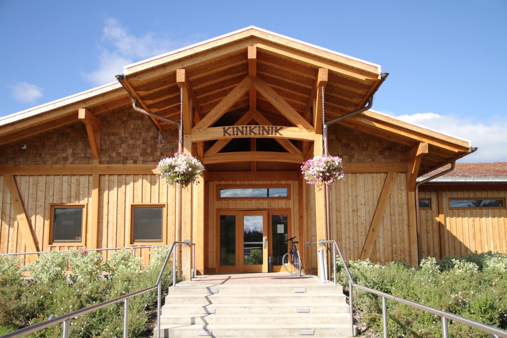
Although we timed it wrong (they’re open Thursday-Monday, and it was a Tuesday), the staff were having a professional development meeting and the door was open, so we stuck our heads in for a peek. Despite being closed, we were warmly greeted and were invited to explore the property and enjoy a cup of coffee on the patio. It was clear by talking to their enthusiastic staff that they truly feel strong about their values and working closely with their Tsilcot’in neighbours. Next time, I’d like to come back for a proper meal!
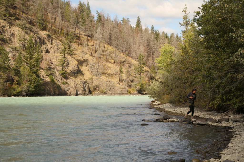
Back on the road, we decided to pull over at Bull Canyon, a small provincial park and campground that overlooks the milky green Chilcotin River. We hiked the short trail down to the riverbed. Bull Canyon’s the only provincial campground between Tweedsmuir Park and Williams Lake, and we practically had it to ourselves. No time to camp here, however – we had to keep going.
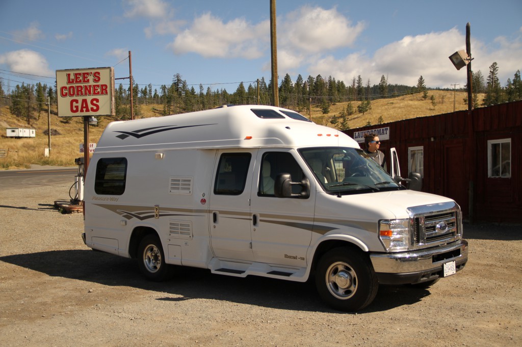
You drive through a lot of small, quirky, unincorporated pioneering communities in the Chilcotin plateau, and Alexis Creek (named after Alexis, the colonial-era chief of the Tsilcot’in during the Chilcotin War of 1864) is no exception. The landscape has a wild west feel to it, and there are no franchises or chains – fast food, gas stations, nothing. Lee’s Corner – a restaurant, store, and gas station in Hanceville for example – is pretty typical of the locally-owned business landscape. Lee’s Corner was also the original name of Hanceville, named after Norman Lee, a pioneer and legendary cattle rancher.
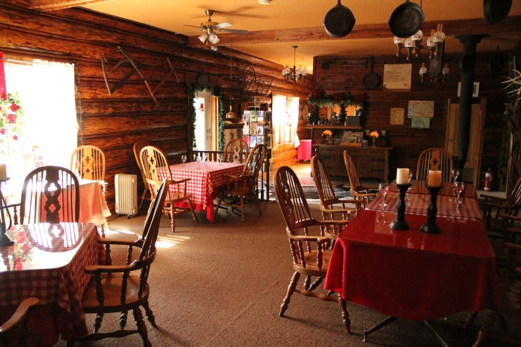
To immerse ourselves in more local heritage, we stopped by the Chilcotin Lodge at Riske Creek. Originally built as a hunting lodge in the 1940s, it’s one of the last authentic lodging facilities in the Chilcotin and all of BC. It overlooks the beautiful grasslands of Riske Creek. We poked our heads into its dining room, and it was like taking a step back in time. All that was missing outside were the horses and cowboys!
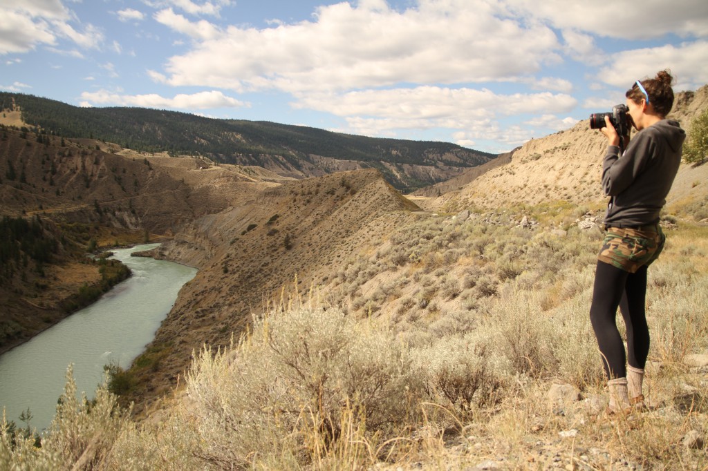
Up until now we didn’t stray off Highway 20, but from Riske Creek we detoured down the road to Farwell Canyon. The geography geek in me was thirsting to see this unique BC topography often likened to a mini Grand Canyon. The road was heavily used by logging trucks during our drive, and it took us about half an hour to drive through the semi-arid pastures where ravens played in the sky. At 14km (8.7 miles), the road begins to steeply switchback through the tumbleweeds down to the river. We pulled over at the top to take in the beauty that surrounded us. There’s no doubt that landscapes like these are reasons why BC’s the most geographically diverse province in Canada.