
In neighbouring Grand Forks, river views and wildlife spottings complement hiking and cycling over trestles and through tunnels—look for eagles, deer, and marmots. At the confluence of the Kettle and Granby rivers, Boundary Country’s largest city (pop. 4,000) also serves up swimming and fishing opportunities. At the Boundary Museum and Interpretive Centre, find out why Doukhobors fled Russia and settled here more than a century ago, then sample dishes like pyrahi and voreniki at the Borscht Bowl and other local dining spots.


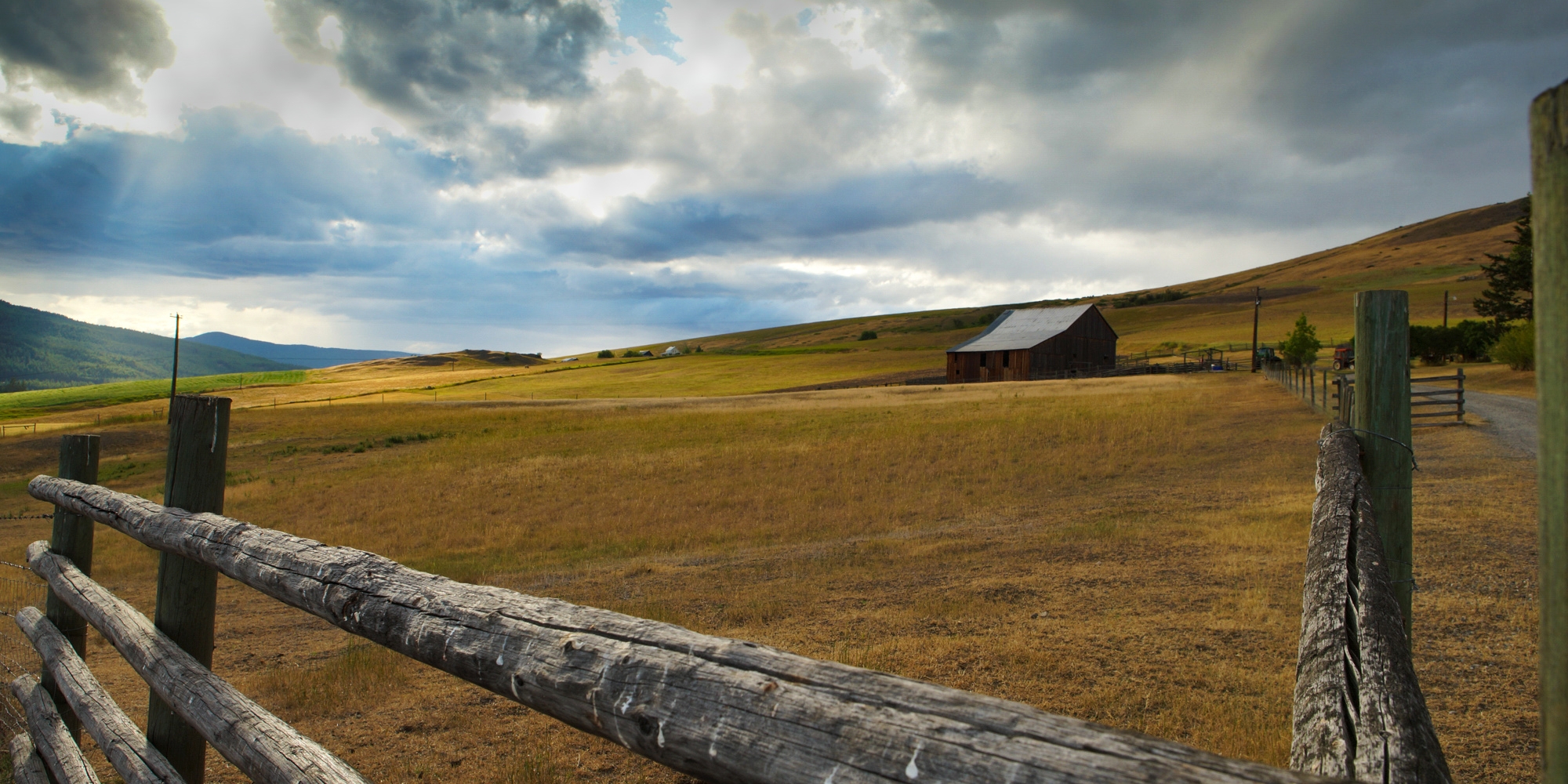
Just beyond the sloping vineyards and rock-bluff-lined lakes of BC’s Okanagan Valley, a land flush with mining history, pristine waterways, and year-round adventure awaits. Boundary Country, tucked into the southeast corner of the Thompson Okanagan region, might be named for its location along the 49th parallel between Western Canada and the United States, but it’s the friendly communities, ample local amenities, and Insta-worthy natural surroundings that keep visitors coming back.
No matter where you go in Boundary Country, you’re sure to find yourself on a trail, in the water, or immersed in culture at a local museum.
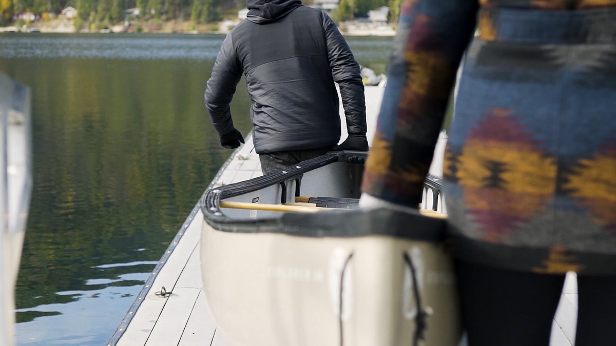
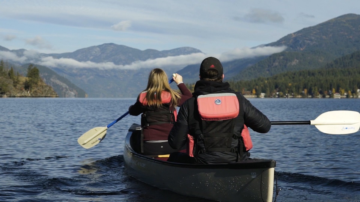
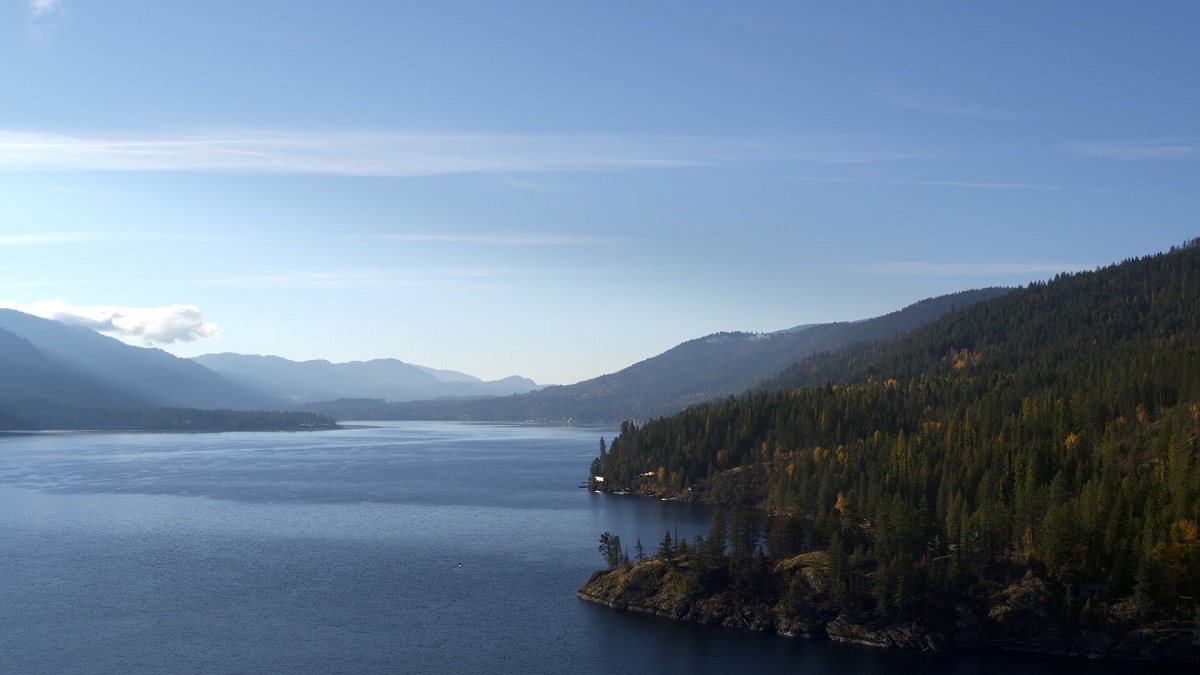
The area’s most popular spot, Christina Lake, also happens to be one of Canada’s warmest and clearest lakes. Several beaches, two lakeside provincial parks, and 45 kilometres (28 miles) of shoreline at the foot of the Monashee Mountains mean there’s plenty of room to enjoy waterskiing, tubing, and wakeboarding, as well as canoeing, kayaking, and stand-up paddleboarding—be sure to glide by the northeast shore for a glimpse of ancient pictographs by the Sinixt Nation. (Didn’t bring a boat or board? Drop by the Christina Lake Marina for rentals.) On land, hike, bike, or horseback ride along the nearby Columbia & Western Rail Trail—the decommissioned railway is now part of the countrywide recreational Great Trail—to churning Cascade Falls and a little-known swimming hole.
1 / 3
Christina Lake | Nic Collar
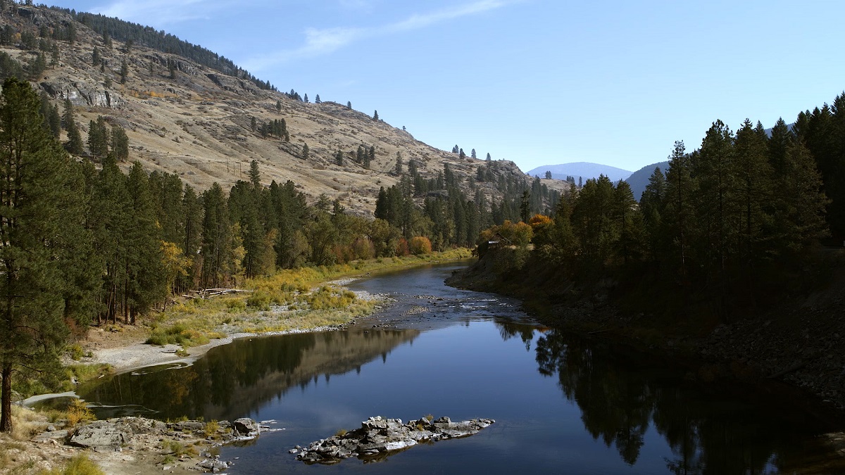
Grand Forks | Nic Collar
Greenwood, in Boundary Country | Darren Robinson
Called the hub of Boundary back in the day, Greenwood (pop. 700) now boasts being Canada’s smallest city. At the turn of the 19th century, miners began pouring into the copper-rich area but abruptly left when metal prices plummeted after WWI. Reduced to a near-ghost town by the 1940s, Greenwood was repopulated around WWII by 1,200 interned Japanese-Canadians. Step back to those turbulent times on a Greenwood Museum & Visitor Centre walking tour. Heritage highlights include a Victorian brick former assay office (now home to the Copper Eagle Cappuccino & Bakery) and the former Pacific Hotel—once known as Internment Building #1, it was recast as the Harbor Hotel in the 1999 movie Snow Falling on Cedars.
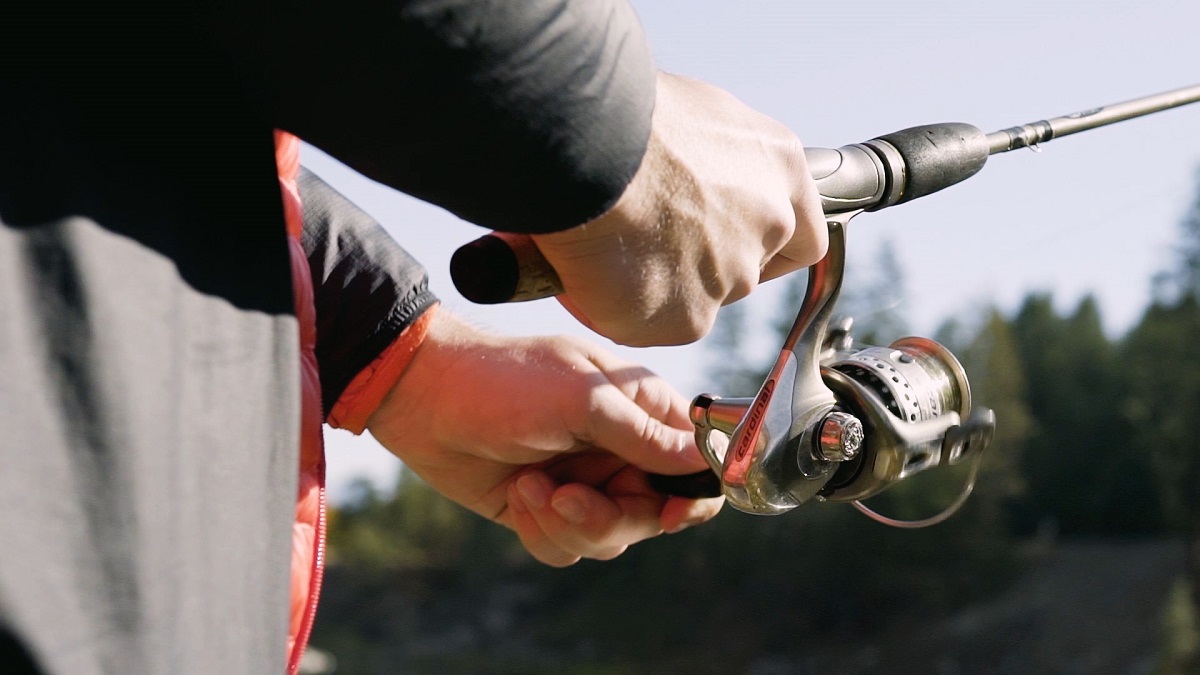
Sitting halfway between the Rocky Mountains and Pacific Ocean, the village of Midway also marks Mile 0 of the historic Kettle Valley Railway. Stop to take a turn around the Kettle River Museum and its original 1901 Station House, where the rail line’s first passenger train left for the West Coast in 1915 (the last would chug through in 1964). Then cycle in its quiet wake along the Kettle Valley Rail Trail section of the Great Trail. Take in sunny valley views on a hike up Midway Mountain’s multiuse trails to the 49th parallel—it’s not every day you get to stand in two countries at once. Or drop a line for trout in the Kettle River or one of 40 nearby creeks and lakes.
Gold miners have long left Rock Creek, but this former frontier town in the southwest corner of Boundary Country now brims with outdoor adventure. Hike, bike, or horseback ride the Kettle Valley Rail Trail, which meanders past riparian stands of pine, cedar, and spruce. And pack your rod for trout fishing at forest-fringed Conkle Lake Provincial Park. Come winter, hit the rail trail on cross-country skis, or make tracks through light fluffy powder at family-friendly Baldy Mountain Resort.
Just 13.5 kilometres north of Rock Creek, the community of Westbridge sits among grassy meadows, larch, and pine forests, as well as alpine wildflowers in spring and vibrant leaves in fall. Look for deer, bears, and moose, often grazing along the highway. Or glimpse them on a hike, bike, or horseback ride along the river and in the semi-arid Christian Valley, reached via the West Kettle River Bridge.
1 / 3
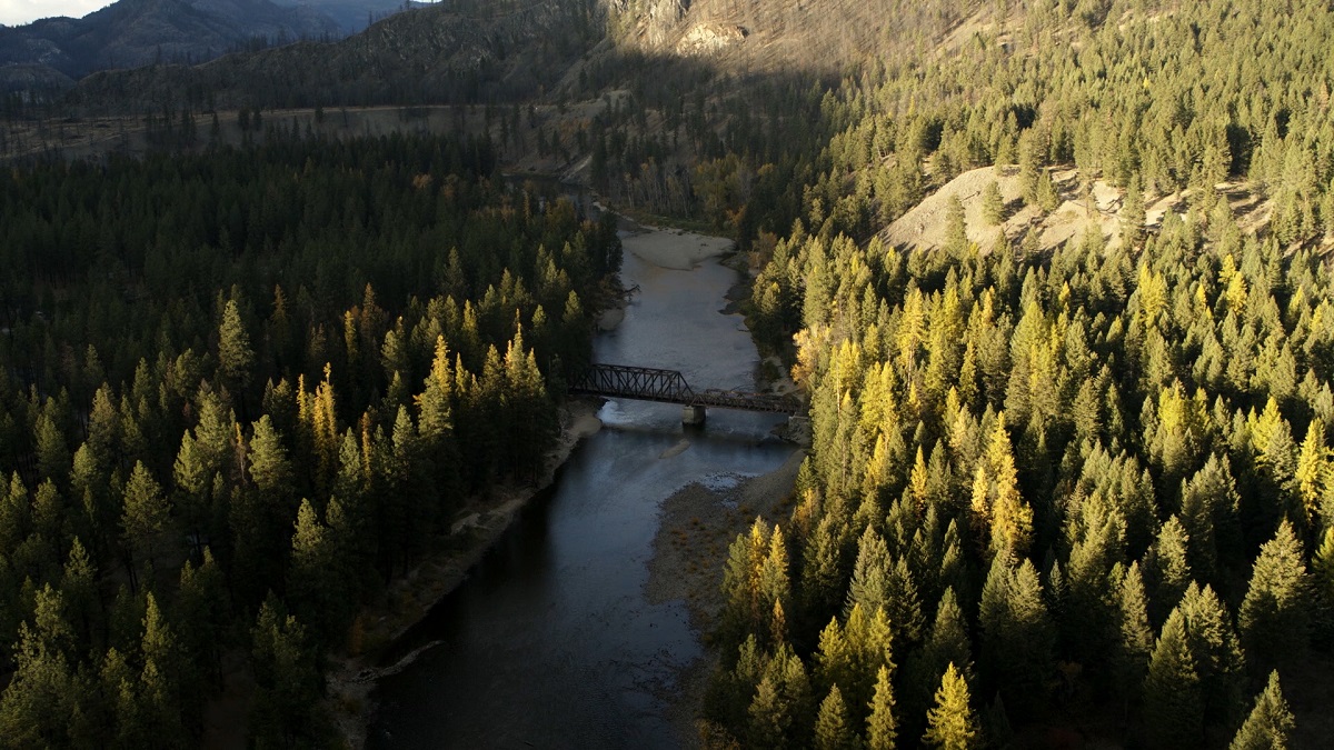
Rock Creek | Nic Collar
A clear night at Big White | @andrewjaybw via Instgram
Long known as a winter playground, Big White Ski Resort in northwest Boundary Country officially opened for summer in 2015. Ride the Bullet Express Chair up for an alpine hike among gorgeous wildflowers like blazing-red Indian Paint Brush. Take the 4.5-kilometre-long Rhonda Lake Trail past its sparkling-blue namesake, or the one-kilometre-loop Peak Trail to the summit for wide-open Monashee Mountain and Okanagan Valley vistas. Added in 2017, the lift-serviced downhill mountain bike park offers a range of trails, from easy Home Run and flowy Bermslang to technical Rock Hammer. Wind down in the village at longtime local favourite Snowshoe Sam’s over bevvies and burgers.
Where to Stay in Boundary Country
From diverse landscapes and communities comes a likewise mix of lodging options. Take your pick from hotels/motels, B&Bs, condos, and cabins, as well as campgrounds and RV parks. And don’t overlook one-off offerings like a luxury log home in the woods or a working ranch.
Around the summer recreational hub of Christina Lake, tuck into cozy waterfront retreats or roll your rig into the Texas Creek campground in Gladstone Provincial Park. Grand Forks choices range from the pet-friendly Ramada to the secluded Natasha’s Russian Guesthouse—pre-order blinchyki or pyrozhki for breakfast. Dip into family fishing fun at the rustic Jewel Lake Resort near Greenwood, or take advantage of Big White’s lower summer rates on condos with private hot tubs, townhouses with gourmet kitchens, and post-and-beam vacation homes with stone fireplaces.
Christina Lake | @nomadic.owen via Instagram
Where to Stay in Boundary Country
Learn MoreHow to get to Boundary Country
Flying into the Kelowna International Airport conveniently lands you on Boundary Country’s doorstep. Rent a car and travel along Highway 33 to experience all that the region offers, beginning with Big White in the north. From there, take in panoramic ranchland and mountain views as you head south, then east along Highway 3 (a.k.a. the Crowsnest Highway).
Driving from Vancouver, take highways. 1, 5, and 97C over mountains and through valleys on your way to Kelowna (395 kilometres, or 245 miles ). Or, just past Hope, keep south along Highway 3 and pass through Canada’s only desert at Osoyoos before reaching southern Boundary Country (522 kilometres, or 324 miles, total to Grand Forks).
Feature image: Boundary country | Allen Jones
WRITTEN BY: Sheila Hansen
From: Vancouver
A Vancouver-based editor and writer with many years' experience in travel and lifestyle publications, Sheila Hansen is passionate about exploring the nooks and crannies of her home province. A BC girl through and through, she was born and raised in small towns and has since been living in the big city—she likes to think she's experienced the best of both worlds!

See what's happening now with these recent posts.
Start Planning Your BC Experience
Getting Here & Around
Visitors to British Columbia can arrive by air, road, rail, or ferry.
Visit TodayAccommodations
Five-star hotels, quaint B&Bs, rustic campgrounds, and everything in between.
Rest Your Head
Subscribe to our newsletter
Join over 2 Million Adventurers Already Connected.
