

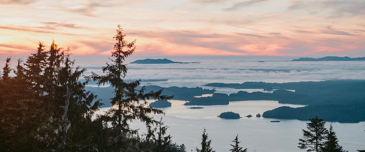

Cool Towns in The Great Wilderness
The sheer size of The Great Wilderness defies comparison—yet, for millennia, people here have carved out lives in its farthest corners.
Guest post by Mike Seehagel
Our trip started with a landing on the rain-slicked runways of Terrace. Both Terrace and Prince Rupert share the same biogeoclimatic classification as Vancouver—highly populated with ancient cedars and temperate hemlock rainforests—but much more remote; the perfect mix for outdoor exploration.
The area is well known for its salmon and steelhead fishing, and we were lucky enough to experience it firsthand. We’d been in the area for less than three hours, and we were already waist deep in the waters of the Gitnadoix, one of the many smaller tributaries to the Skeena River. We travelled by jet boat with a seasoned operator, Rob Bryce, who knew the waters well. Apparently getting to and fishing the Gitnadoix is a rare and valuable occasion even for locals. Fishing underneath a net of low-hanging clouds and surrounded by ambient mist, we sensed this and felt lucky to have the chance to do so.
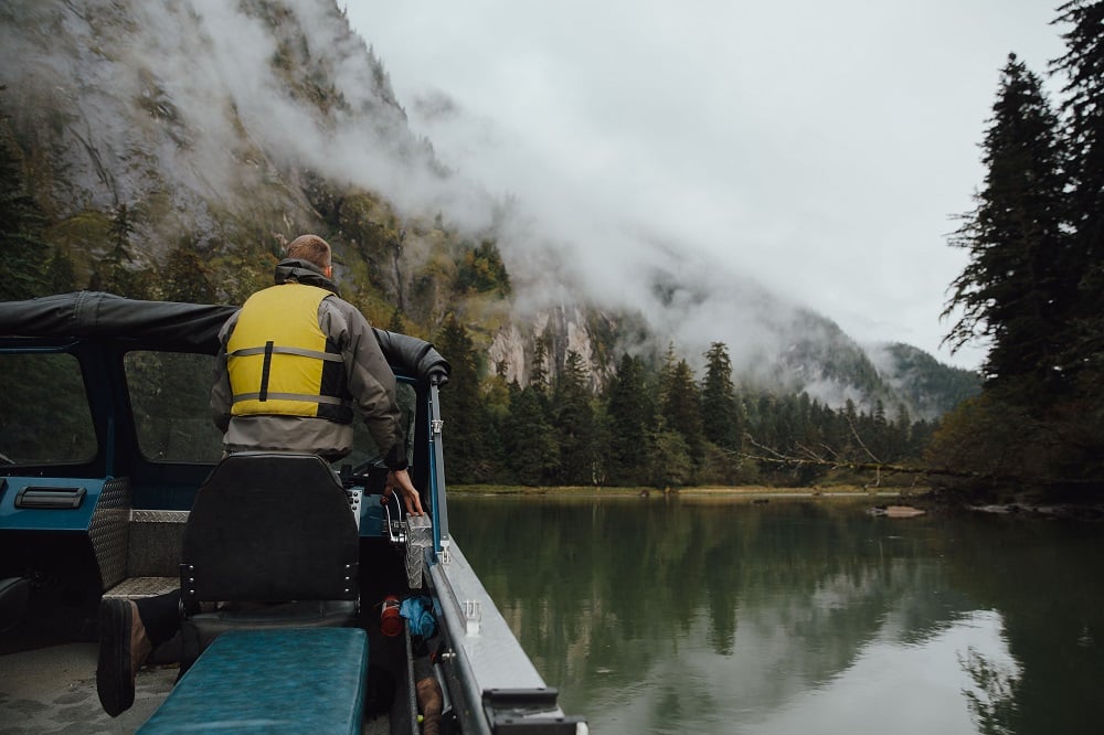
Navigating pristine waterways. Photo: Mike Seehagel
Heavy morning fog was the norm each day. We wedged through the thick of it on another Skeena tributary, the Exchamsiks. The area was marked with braided waterfalls and female black bears feeding with their cubs. We anchored and followed a creek up to Rooster Tail Falls where we tested the integrity of our waders and rain gear. There’s something existentially powerful about being at the base of a waterfall—it doesn’t get much better, or wetter, than that.
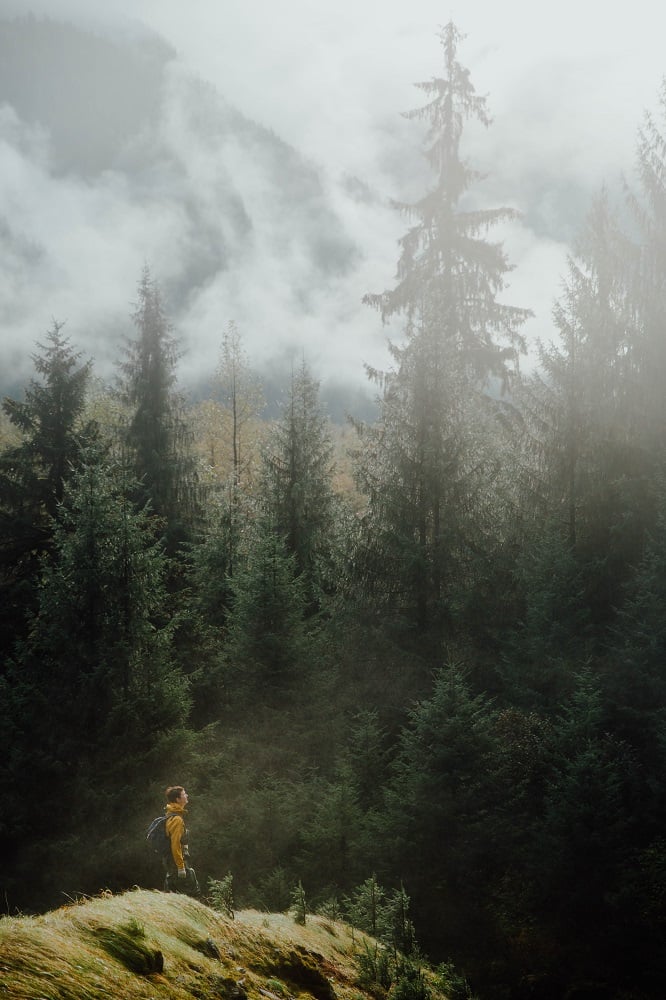
Hiking through the mist. Photo: Mike Seehagel
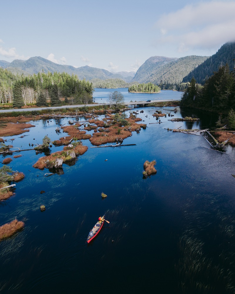
In an area where waterways seem more prevalent than highways, it makes sense that many of the best spots are more accessible by boat. Riding and reading a tidal river is unique in that it flows directionally, and also fills and drains vertically with the tides. This is something we couldn’t quite get over as we cruised from the salty inlet at Port Edward to the mouth of the Skeena. We kept analyzing our surroundings at that point—was this ocean or river? The answer was both, and the evidence was substantial. The area is known for it’s high fluctuating tides, up and down over 22 feet daily. A four hour round trip on the Skeena yielded an almost unrecognizable return trip, as exposed boardwalks and old ruins were now nearly submerged.
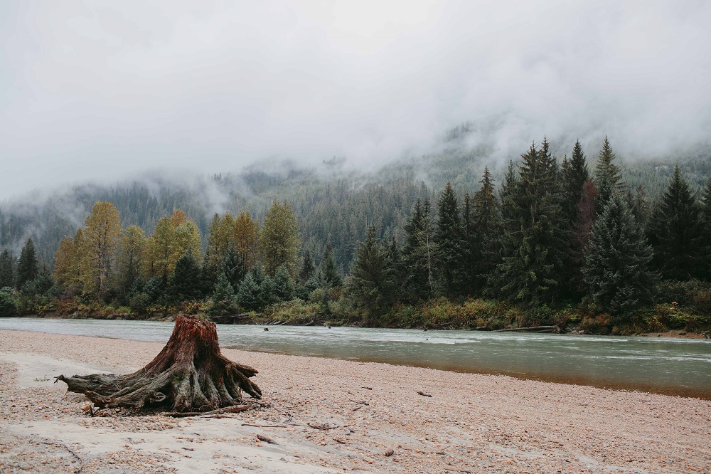
A remote riverbank. Photo: Mike Seehagel
At the end of our river ride we pulled ashore on a bed of eelgrass and slogged our way to the banks where there was a cemetery dating back to the 1800s. There were headstones and rusty gates under piles of moss and fallen trees, with stone, marble, and rotten cedar plaques. These banks are saturated in history. A couple of the most noteworthy settlements along the shore were Port Essington and the North Pacific Cannery, which is no longer operational but open to visitors. We spent an entire afternoon filtering through old workstations and living quarters that still contain original equipment and artifacts.
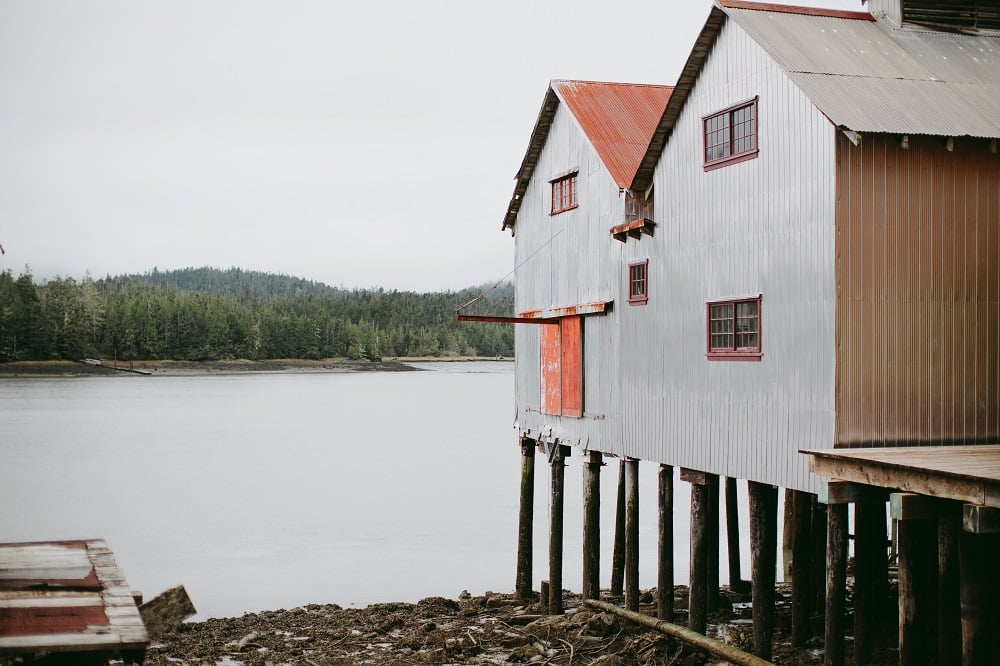
A throwback to the olden days. Photo: Mike Seehagel
Hiking above Prince Rupert offers full views of the area’s lakes and river ways across to Chatham Sound, where we had earlier spotted a family of humpback whales. Locals recommended the Tall Trees trail, a path that had just reopened after improvements. The views did not disappoint. There are some experiences that feel uniquely privileged; our time in the Northwest was one of them, and we hope to return soon.
Surrounded by natural beauty. Photo: Mike Seehagel

The sheer size of The Great Wilderness defies comparison—yet, for millennia, people here have carved out lives in its farthest corners.

The mountain biking trails in The Great Wilderness punctuate the immensity of the surrounding environment.

The Nisg̱a'a Lands Auto Tour is an 18-stop self-guided drive through the Nisga'a Lands, also known as the Nass Valley.