
Take Highway 3 East from Osoyoos, passing through quaint communities en route. Learn about the Gold Rush in Rock Creek, visit Canada’s smallest city in Greenwood, or start your hike at Mile 0 of the Kettle Valley Rail Trail in Midway. Continue driving through the valley flanked by the Monashee Mountains and rolling farmland until the Kettle and Granby rivers converge in Grand Forks. Minutes from Rock Creek you’ll find one of the most popular family campgrounds in Boundary Country. Straddling the Kettle River, Kettle Valley Recreation Area provides ample summer fun amid Ponderosa pine. The Kettle Valley Rail Trail passes through the site, ideal for hikers and bikers.


Part 1
Osoyoos - Grand Forks
Part 2
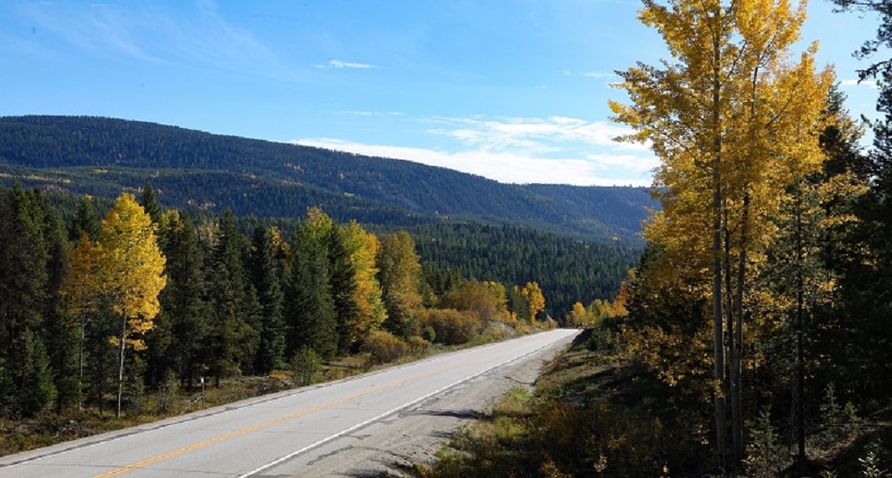
Grand Forks – Nakusp
Explore the Kootenays as Highway 3 connects with Highway 6 heading north toward Nakusp, passing mountain vistas and forests on your way to natural hot springs. Situated in the Kuskanax Valley with a view of the Selkirk Mountains, Nakusp Hot Springs has camping as well as chalet accommodations available. On your way, stop at Christina Lake (the warmest tree-lined lake in Canada). As a local summer retreat, the lake is a serene backdrop for relaxation and outdoor recreation. In addition to water activities, you can golf, mountain bike, fish, or hike to Rainbow Rock for the best view of Cascade Falls.
Part 3
Nakusp – Vernon
Head south from Nakusp to Fauquier where you’ll catch the Needles Cable Ferry. The crossing takes just 5 minutes (and runs every 30 minutes) and connects with Highway 6 on the western side of Upper Arrow Lake. Continue west through the agricultural towns of Cherryville and Lumby before arriving in the North Okanagan city of Vernon.
Part 4
Vernon to Osoyoos
Depart Vernon and head south on Route 97. Stop at Kalamalka Lake for a photo op. This unique body of water gets its vibrant hues from limestone deposits left by receding glaciers. When the lake warms, crystals form to reflect the sunlight, creating its distinct colours. As you continue south, you’ll pass through Lake Country. Enjoy the landscape as you stop for fresh fruit or a wine-tasting along the way.
Last updated: May 20, 2020