


![]()
This area is a sprawling wilderness of old-growth inland rainforest and snow-dusted peaks, where crowds are nil and natural wonders abound.
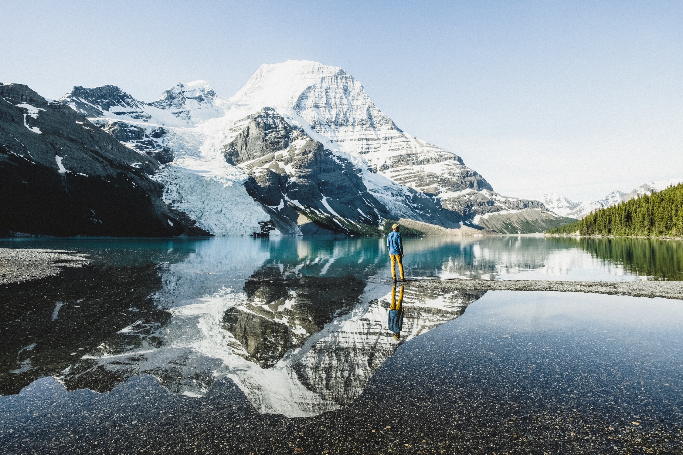
Wells Gray Provincial Park is outdoor adventure central, a vast area boasting 39 named waterfalls including dramatic Helmcken Falls, one of the highest in British Columbia. Nearby, Mount Robson Provincial Park is home to the highest peak in the Canadian Rockies. Visitors come for camping, hiking, dogsledding, paddling, whitewater rafting, and superb cross-country skiing, and wildlife viewing—in particular bears, moose, deer, wolves, and eagles.
Wells Gray & Mount Robson
The communities of Valemount and Clearwater are gateways to the adjacent wilderness areas; many guiding companies and accommodation options are centred in each.
A Monashee Mountains backdrop | Shayd Johnson
Heli-hiking near Valemount | Shayd Johnson