


The Sunshine Coast Trail
Length -
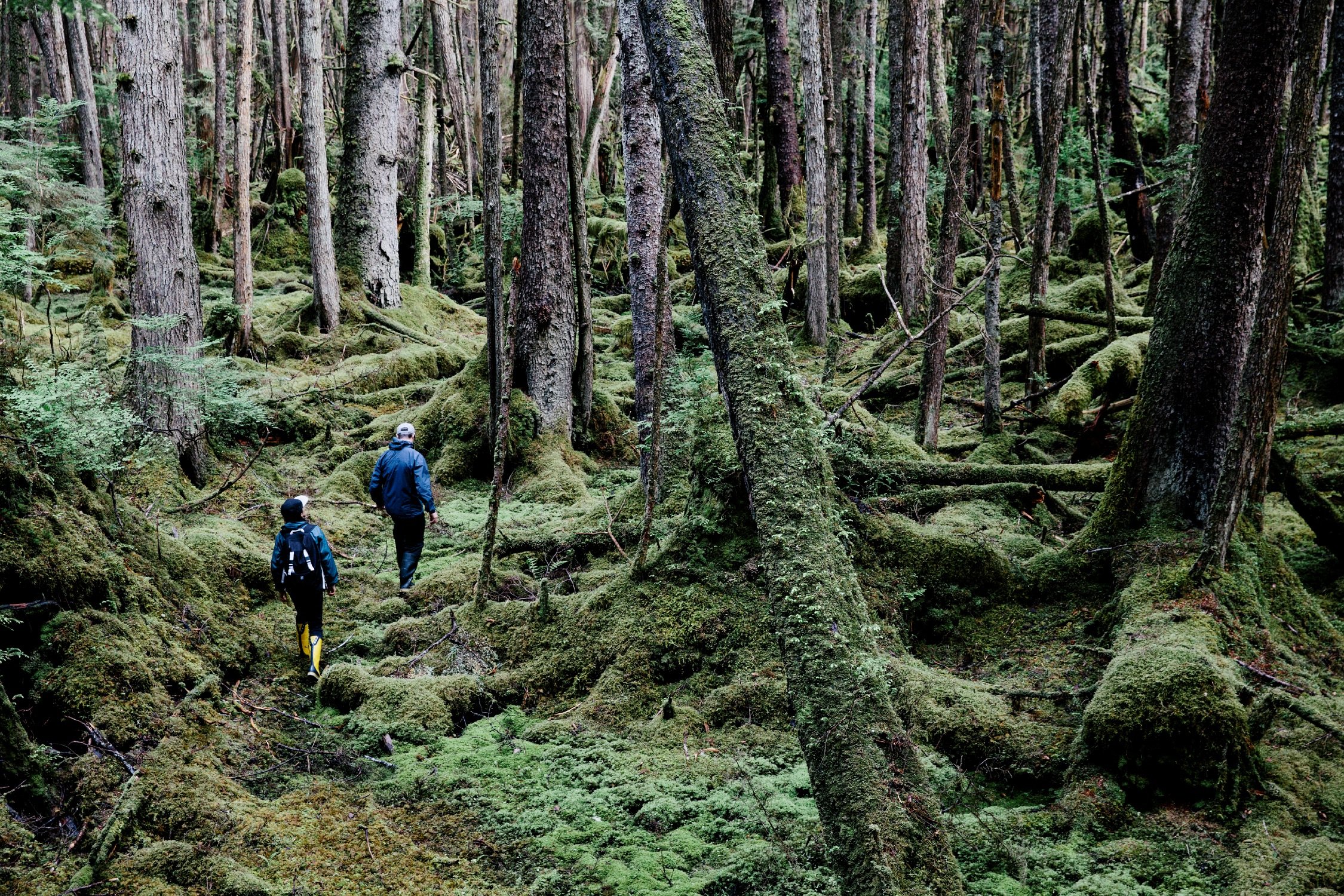
Hiking trails in British Columbia are world-renowned, from well-marked nature walks to physically demanding and remote multi-day hiking trips.
The landscapes are as varied as the trails: choose from coastline, glaciers, grasslands, rivers, and more. Virtually all of BC’s national and provincial parks have trail networks. Mountain resorts operate ski lifts during the summer to help hikers reach the trailheads, local volunteer groups have transformed abandoned rail lines into long distance trails, and even major cities have car-free pedestrian paths for urban hikes.
If you’re in a rush, heli-hiking guides can whisk you to the alpine via helicopter. The Cariboo region boasts a network of accessible trails for people of all mobility levels, and the Sunshine Coast Trail is Canada’s longest hut-to-hut route. Whatever your interest and ability, you’ll find a trail to match.
Learn the three Ts—trip planning, training, and taking the essentials—and apply them to all your outdoor adventures.
Learn MoreLearn the three Ts—trip planning, training, and taking the essentials—and apply them to all your outdoor adventures.
Learn MoreThe landscape in BC transforms as you hike through the province. On Vancouver Island it’s crashing surf and lush rainforest. In the Kootenay Rockies it’s waterfalls and alpine vistas. The constant? Raw, untouched nature, and room to simply breathe it in.
When exploring BC’s outdoors, always leave it in a better state than when you arrived. Respect local wildlife. Minimize the impact of campfires and check BC Wildfire Service for fire bans and fire safety tips. Pack out what you pack in and dispose of waste properly. These are just some of key principles of Leave No Trace, a set of seven guidelines for enjoying the outdoors responsibly while minimizing your impact on the landscape.
Learn MoreWhen exploring BC’s outdoors, always leave it in a better state than when you arrived. Respect local wildlife. Minimize the impact of campfires and check BC Wildfire Service for fire bans and fire safety tips. Pack out what you pack in and dispose of waste properly. These are just some of key principles of Leave No Trace, a set of seven guidelines for enjoying the outdoors responsibly while minimizing your impact on the landscape.
Learn MoreSee what's happening now with these recent posts.
Learn the three Ts—trip planning, training, and taking the essentials—and apply them to all your outdoor adventures.
Learn MoreGet current road conditions and everything you need before you set off on your BC road trip.
Learn More


