


5 Reasons to Visit the Southern Gulf Islands This Fall
Head to the Gulf Islands to enjoy a more relaxed way of life. Don't miss the local markets and artists' studios.
![]()
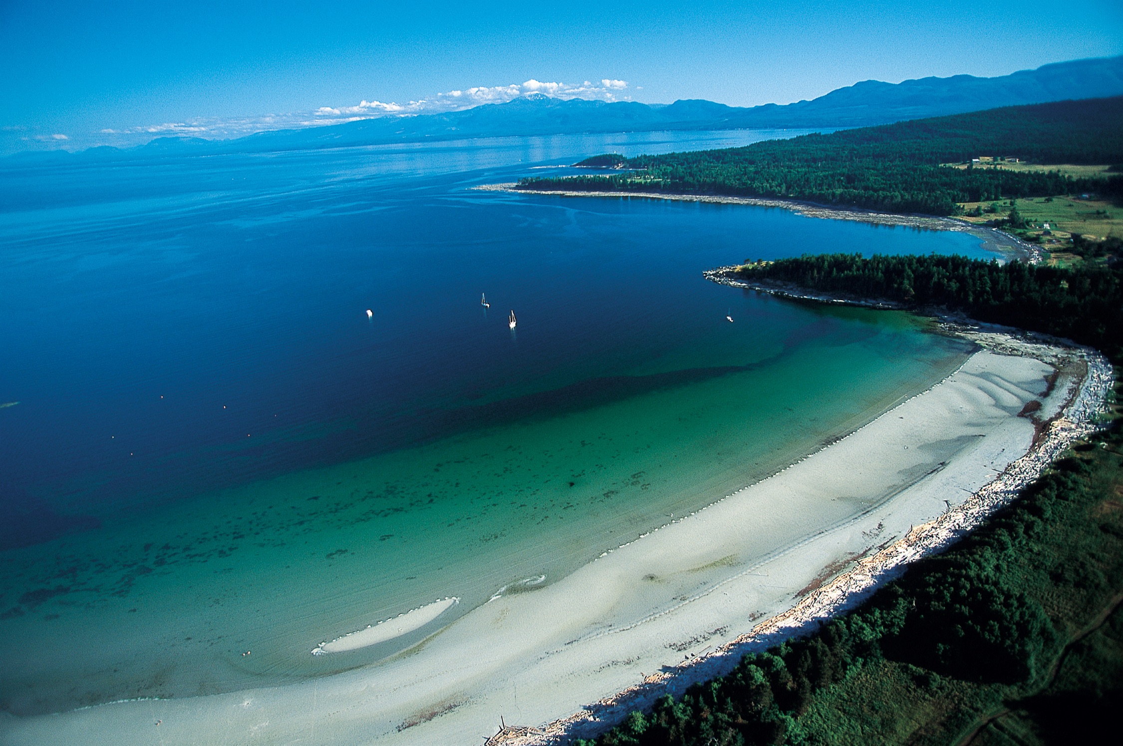
Here in the sunny Gulf Islands, visitors can swim and fish in protected waters or scuba dive to open up a world of treasures.
The area is home to the Gulf Islands National Park Reserve—an ecological paradise of land pockets on 15 islands, plus numerous small islets and reef areas. The forested Gulf Islands include Mayne, Galiano, Hornby, Quadra, and Gabriola. The largest is Salt Spring, famed for its locavore-minded farmers, artisan producers, and organic vineyards. Wildlife, nature, coastal activities, and getting away from the hubbub are top reasons to visit these serene islands.
The 200 Gulf Islands, located in the Strait of Georgia between Vancouver Island and British Columbia’s mainland, are home to eclectic residents with bohemian souls.
The islands have long been a haven for organic farming, and farmers markets abound during the summer months. Salt Spring is also home to a cluster of exquisite food producers, particularly cheesemakers. Artists have settled on the islands, drawn by the calm beauty and ethereal light.
Many of the larger Gulf Islands are accessible via BC Ferries; smaller islands are reached by private boat or chartered seaplane service.
Visitors to British Columbia can arrive by air, road, rail, or ferry.
Visit TodayFive-star hotels, quaint B&Bs, rustic campgrounds, and everything in between.
Rest Your Head