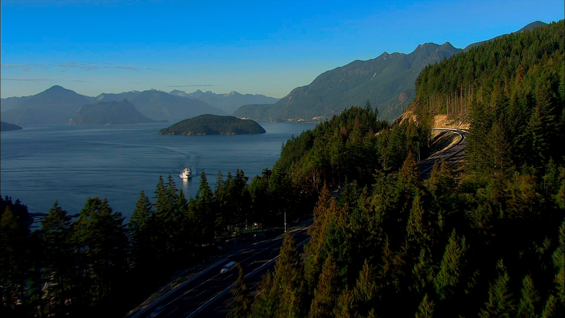
Located on Highway 99, just 35km/27mi north of Whistler and 104km/65mi southwest of Lillooet, Pemberton is part of the Lillooet River Valley, a vast glacial trough that lies between the Coast and Cascade mountains.
The coastal mountain ranges define much of the British Columbia experience. They bestow Whistler Blackcomb with crown peaks that have made them North America's top destinations for downhill skiing and have provided Pemberton with something more: a multi-level micro climate of verdant valleys, forests of interior Douglas fir and western hemlock, a subalpine ecology, ice fields and glaciers.
This includes the Pemberton Icefield, covering several hundred square miles of treeless terrain, and the Joffre Glacier Group situated above a subalpine chain of three turquoise-coloured lakes.
A Volcanic Past
Although Mount Currie's impressive summit of nearly 2,600m/8,450ft dominates the landscape, Mount Meager is largely responsible for the valley's geology. Standing at just under 2,743m/9,000ft, it is one of the most active volcanoes on the coast. When it last erupted 2,350 years ago, the outflows dammed the Lillooet River which not only created the 50m/164ft deep Lillooet Lake, but put into place floodplains that subsequently, have made the valley as agriculturally rich as it is.
From Floods to Farms
For millennia, floods were a way of life in the valley. Heavy rains would sweep up from Howe Sound and funnel up the steep, narrow valleys. Combined with the spring melt, the waters quickly swelled the lake, streams and rivers until they raged down towards the valley bottom. The result are richly fertile soils and a farming heritage that today enjoys international recognition, primarily because of its virus-free seed potatoes – a byproduct of Pemberton's isolated locale.
Flood Protection Program
A comprehensive flood protection program of dykes and dams has been in place since the 1940s, not least of which expanded the holding capacity of Lillooet Lake, and while the valley floor can still retain moisture long after the rains have gone, that system has done much to cultivate and maintain Pemberton's farming success.
Climate & Weather
Sheltered by the surrounding mountains, and 460m/1,509ft nearer to sea level than Whistler, the climate in Pemberton Valley is not only drier – if it's raining in Whistler it can be sunny in Pemberton, it is usually 5 to 10 degrees warmer. The valley also tunnels northeasterly winds down from Lillooet and while that path also carries the warmth of Lillooet the surrounding snowfields and glaciers can create cool nights.
Pemberton's weather is extremely variable from one year to the next. However, winter temperatures average -9°C/16°F; summer temperatures hover around 26°C/79°F; annual precipitation is 40in, almost half of which comes as snow.
Read Less