12.32 km – about 0 hours 11 min
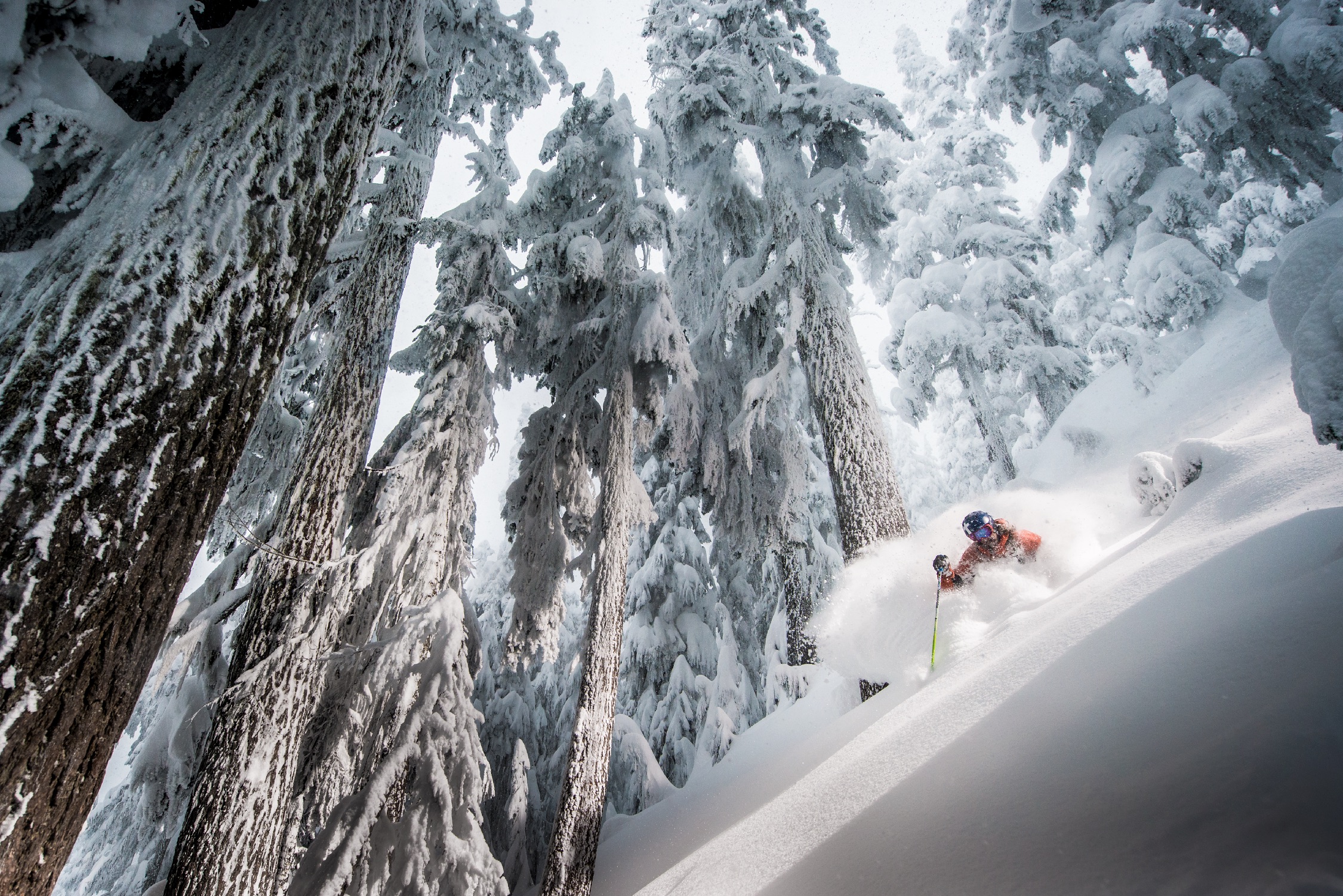
Skiing at Whistler Blackcomb
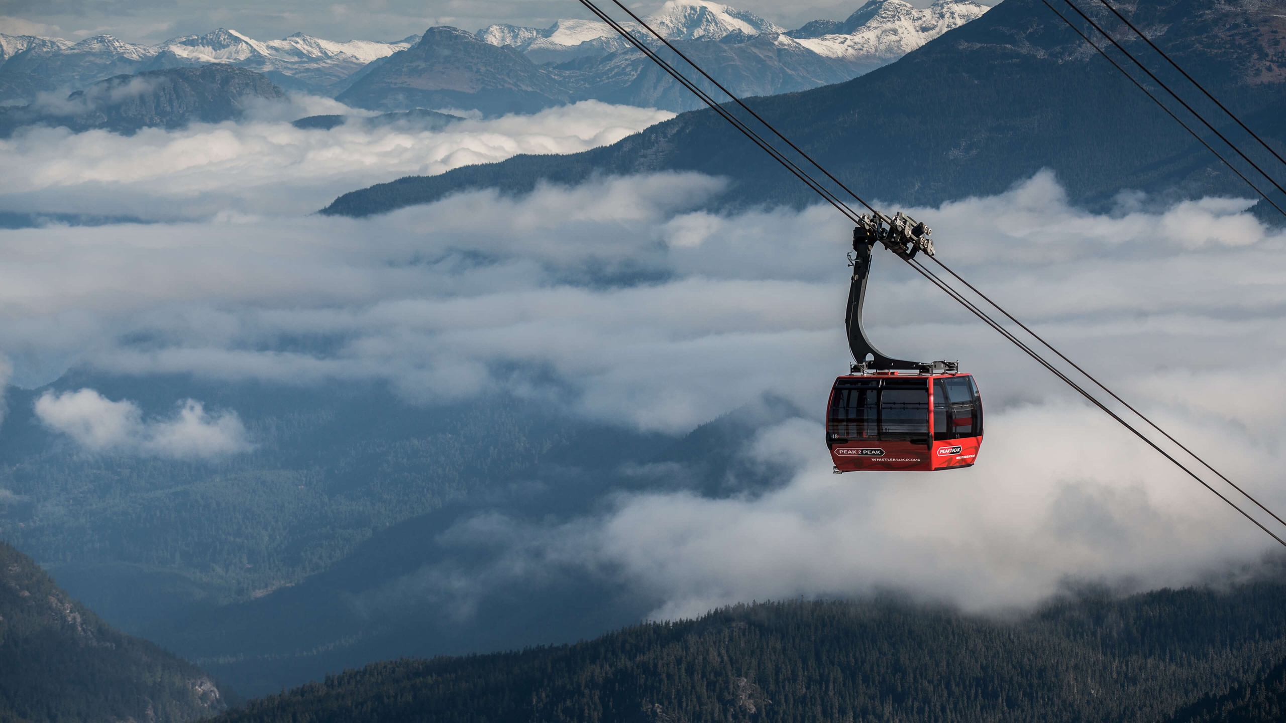
PEAK 2 PEAK Gondola
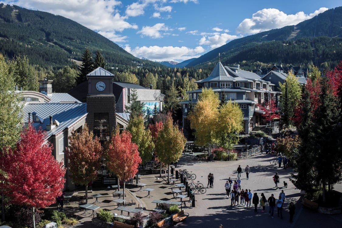
Fall colours in Whistler Village
Whistler is consistently ranked one of the top four-season resorts in North America, and it’s easy to see why. The village is always alive with events, celebrations, and a legendary après scene, and access to the wilderness is always steps away. Take the PEAK 2 PEAK Gondola to hit the best slopes–or trails–in one day on both of Whistler’s mountains. Dine on the mountaintop or at award-winning restaurants in the pedestrian-only village. Learn about the local First Nations at the Squamish Lil’wat Cultural Centre, housed in a stunning and eco-friendly designated LEED building (LEED is a national program promoting sustainable and green building and development practices). And see the stunning collection at the Audain Art Museum, including James Hart’s not-to-be-missed The Dance Screen.
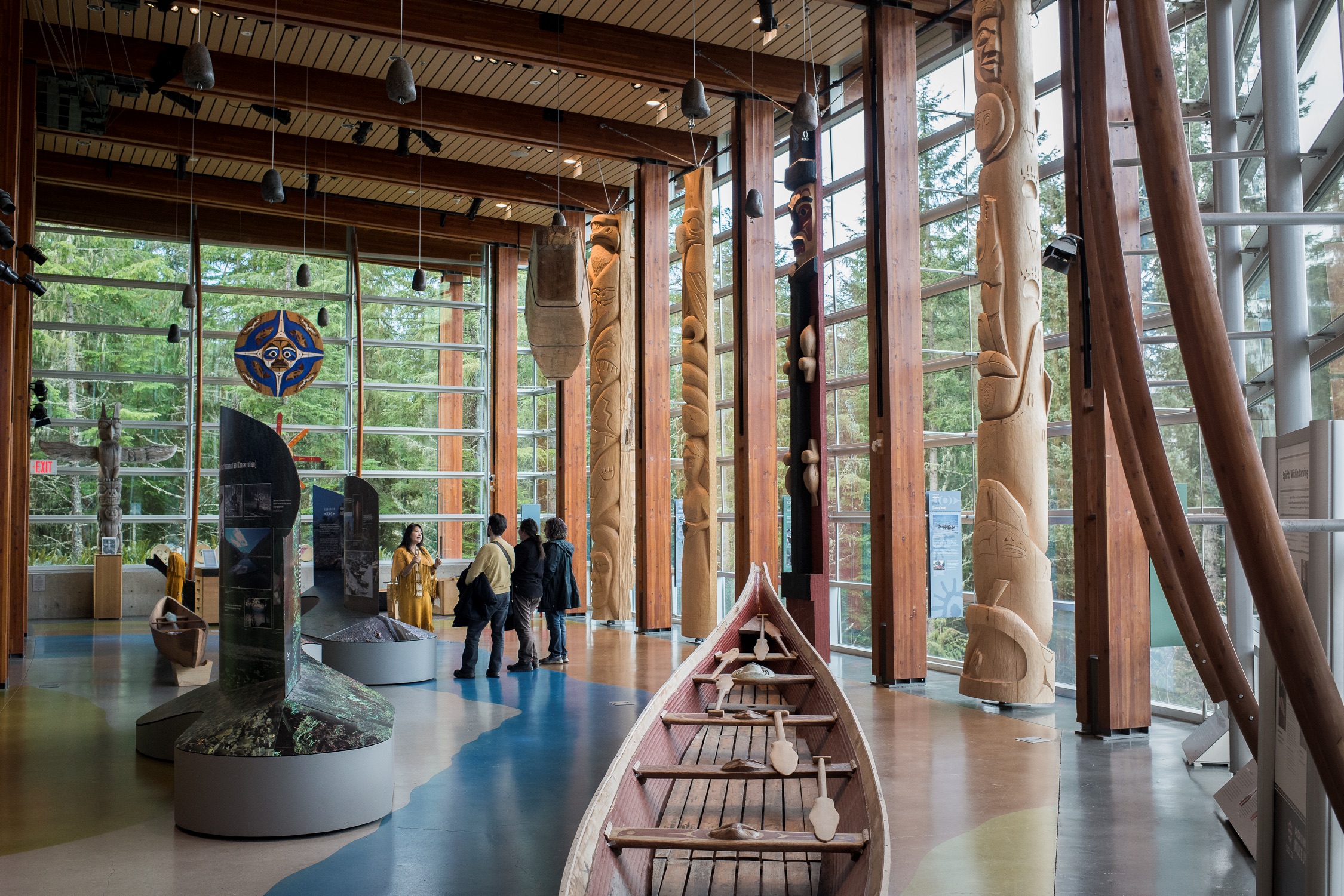
Squamish Lil’wat Cultural Centre
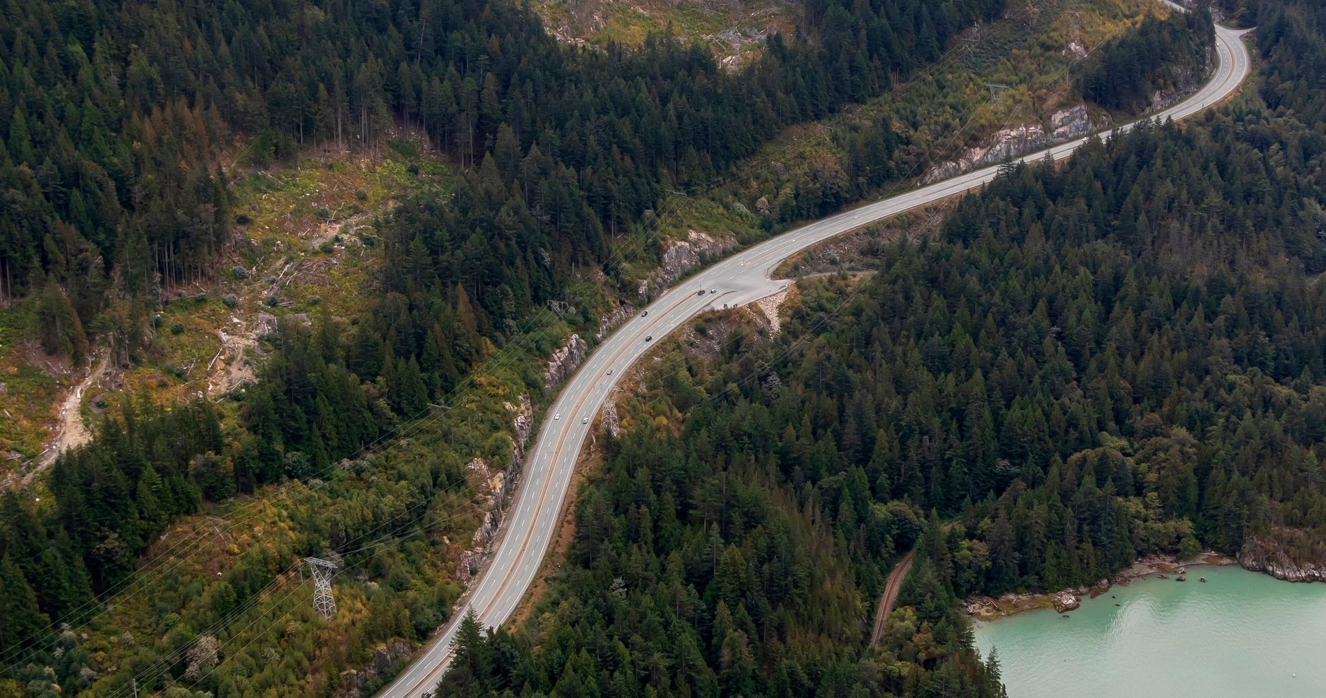
If returning to Vancouver via the Sea-to-Sky, look for cultural kiosk 6 near Garibaldi Provincial Park and kiosk 7 south of Britannia Beach.
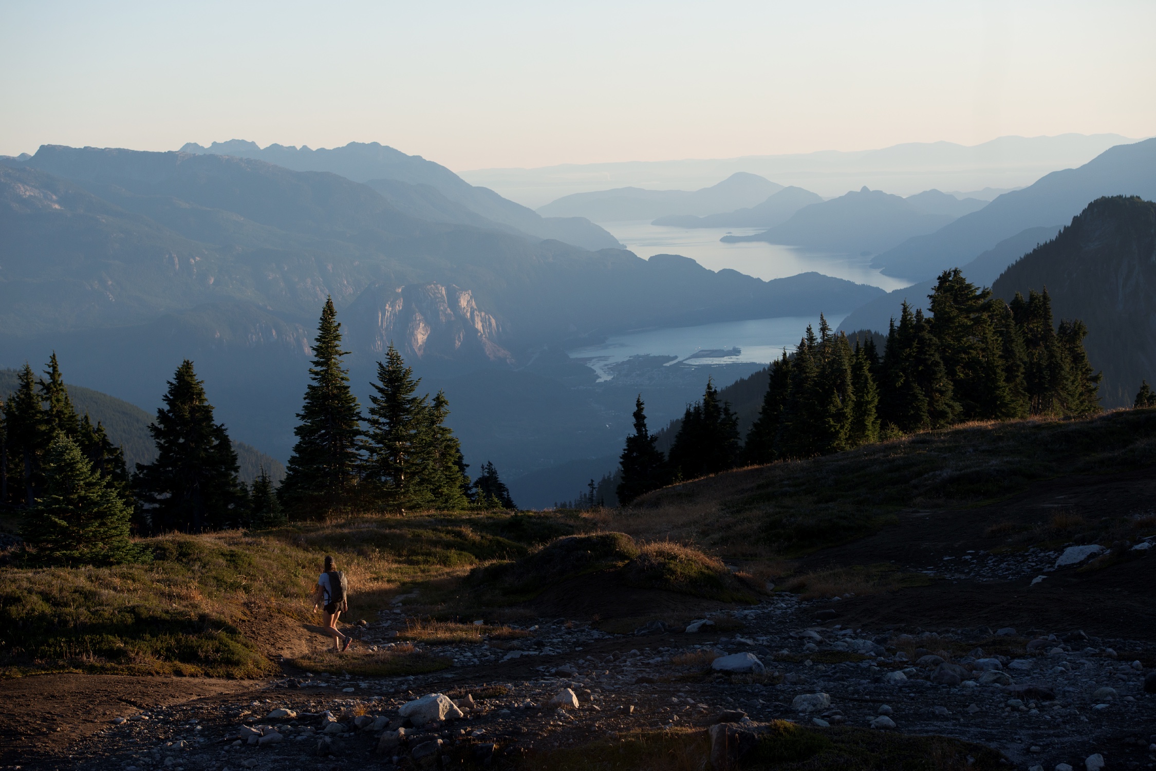
Optional: For a different scenic route back to Vancouver, follow Highway 99 north to Pemberton, where you can enjoy a farm tour. Continue north to Lillooet; the stretch of Highway 99 between Pemberton and Lillooet is also known as Duffey Lake Road, and features spectacular roadside scenery. Highlights include hiking at Nairn Falls Provincial Park.
Optional: From Lillooet, continue north or head south down the Fraser Canyon via Highway 12 and Highway 1 back to Vancouver.
Please note that the Sea-to-Sky corridor is extremely popular among locals and visitors, and it is very busy in the summer. Spring and fall can be the best times to visit.