
Located just 5 kilometres (3 miles) northeast of Enderby, take a step back in time amongst volcanic rock carved by time and glaciers in Enderby Cliffs Provincial Park. For the experienced hiker, look forward to sweeping views of both the Shuswap and Okanagan Valley as cliffs tower 850 metres (2,788 feet) above the valley floor.


Trans Canada Highway (Hwy #1), east of Golden, will have extended, 24-hour closures starting June 1, 2022. Please see the up-to-date schedule of closures and be prepared to take detours, which may add up to 2 hours to your journey
Part 1
Vernon to Enderby Cliffs
Part 2
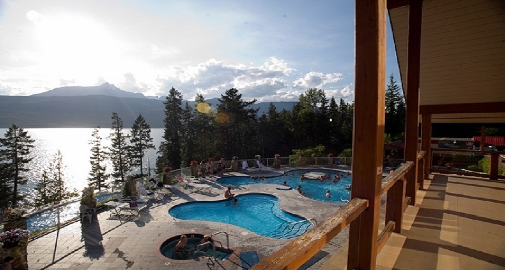
Enderby to Revelstoke
Take Highway 97A north to Sicamous where it connects with the Trans Canada Highway. Stop for lunch in the lakeside town before continuing eastbound toward Revelstoke. For adventure seekers, Mount Revelstoke and Glacier National Park are filled with hiking explorations and famous mountain biking trails.
Note that if you plan to detour east of Revelstoke and into Yoho National Park, Highway #1 east of Golden will have extended, 24-hour closures starting September 21, 2021. Please see the up-to-date schedule of closures and be prepared to take detours via Highway 93 & Highway 95, which may add up to 1.5 hours to your journey.
Part 3
Revelstoke to Nakusp
Head south from Revelstoke on Highway 23 bounded by lofty mountains and the coursing Columbia River. When you reach Shelter Bay, board the Upper Arrow Lake ferry to cross to Galena Bay on the eastern edge. Continue south toward Nakusp and unwind in the natural hot springs, immersed in the beauty of the West Kootenay Rockies.
Part 4
Nakusp to Vernon
Continue south from Nakusp to Fauquier where you’ll catch the Needles Cable Ferry. Running every 30 minutes, the crossing time will take just 5 minutes and connect you with Highway 6 on the eastern side of Upper Arrow Lake. From there, continue east through the agricultural towns of Cherryville and Lumby, before arriving in the North Okanagan city of Vernon.
On the way, don’t miss Rainbow Falls. Nestled in the lush forest of Monashee Provincial Park, Rainbow Falls is located north of Highway 6 on the way to Lumby. There are two viewing platforms; one that extends out downstream of the falls allowing an unobstructed view, and one closer to the falls for those who want to feel the rush of the untamed water. These lookouts are ideal for wildlife viewing in a park home to mountain caribou, wolverine, mule deer, and more.
Last updated: May 20, 2020