


Kelowna
A sunny, laid-back city set in BC’s wine country
![]()
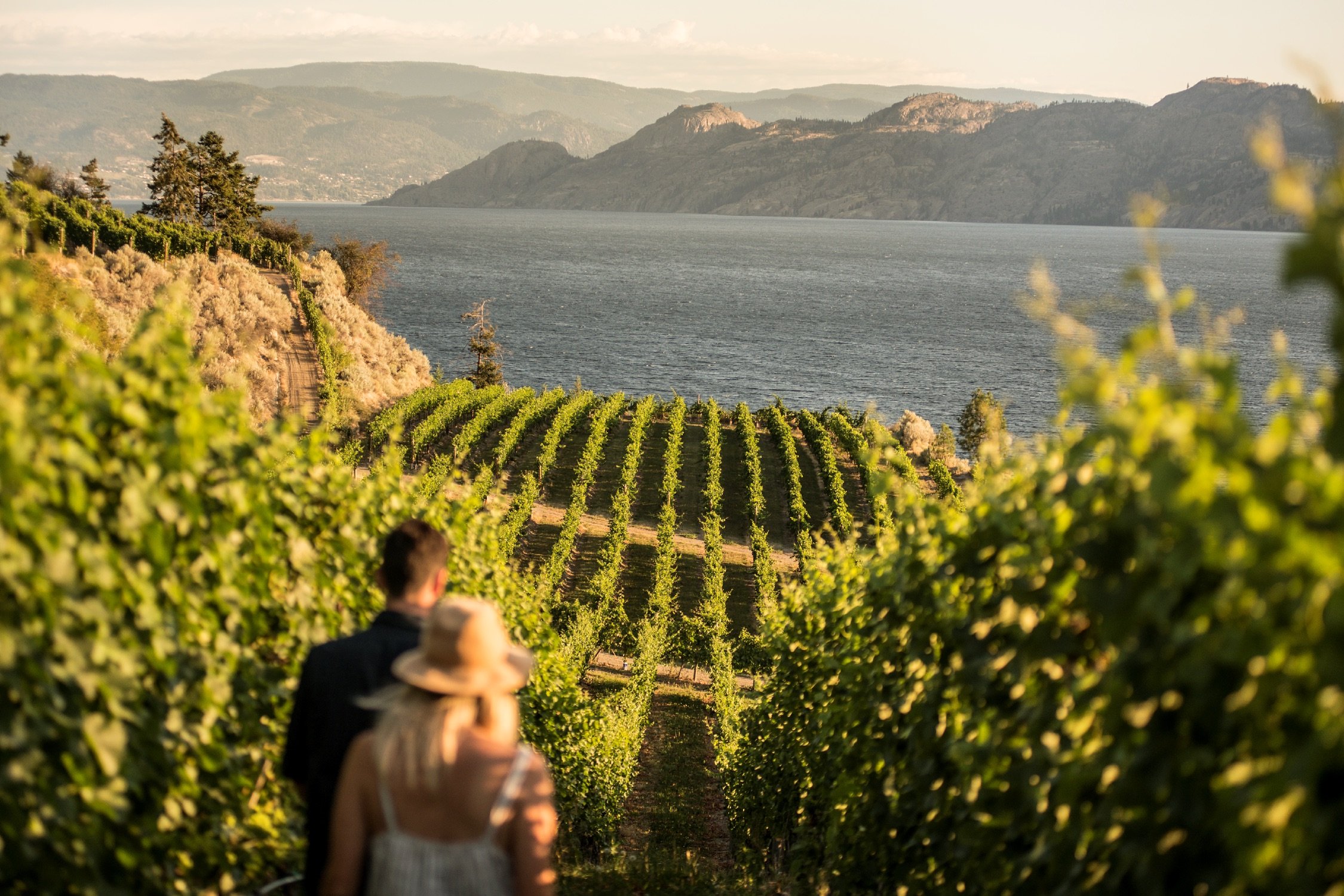
The Okanagan Valley is one of British Columbia’s top-producing wine regions (read: you’ll find plenty of award-winning vintages here).
Alongside wine tasting, festivals, and farmers-market hopping, popular pursuits include cycling the Kettle Valley Rail Trail and boating on Okanagan Lake. Sunny and hot with fragrant sage, lavender fields, and vineyards spanning the hillsides, the valley is a hub for food and drink and long, luxurious days on the water.
The Okanagan Valley is hard to beat for a summer road trip. The natural landscape includes mountains, valleys, desert, and everything in between.
See what's happening now with these recent posts.
Visitors to British Columbia can arrive by air, road, rail, or ferry.
Visit TodayFive-star hotels, quaint B&Bs, rustic campgrounds, and everything in between.
Rest Your Head