


Haida Gwaii
The vibrant Haida culture and dramatic landscape lure adventurers to this remote archipelago.
Learn More
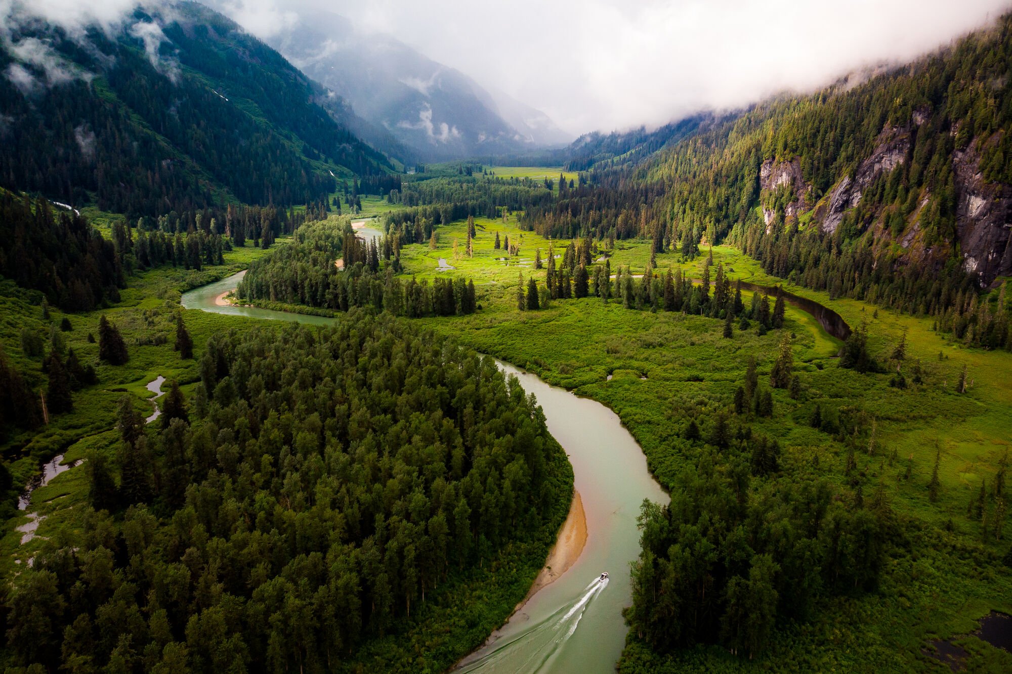
Larger than California, Northern British Columbia extends up to the Yukon/Alaska border with sweeping glaciated valleys, volcanic rock formations, towering mountain ranges and mist-shrouded coast.
Some highlights include Monkman Provincial Park, UNESCO World Heritage Site, Tatshenshini-Alsek Provincial Park and the epic 2,237 km (1,387 mi) Alaska Highway. Northern BC is also home to the ancient Great Bear Rainforest and the Haida Gwaii archipelago — where you’ll find one of the last authentic examples of a coastal First Nations village.
Renting an RV can be the perfect way to experience BC’s great north, and Go North RV is an excellent resource to help you plan. Find information about where to get rentals, where to find hook-ups, and more.
Visit Go NorthSee what's happening now with these recent posts.
Visitors to British Columbia can arrive by air, road, rail, or ferry.
Visit TodayFive-star hotels, quaint B&Bs, rustic campgrounds, and everything in between.
Rest Your Head