
In Tsawwassen, south of Vancouver, board BC Ferries to set off on the coastal leg of your journey. In Victoria, take time to admire the city’s gardens, parks, museums and beaches before driving north to see the world’s largest outdoor art gallery – 40 painted murals in the seaside community of Chemainus. Or venture off to the surrounding area and visit one of the many welcoming wineries and vineyards.
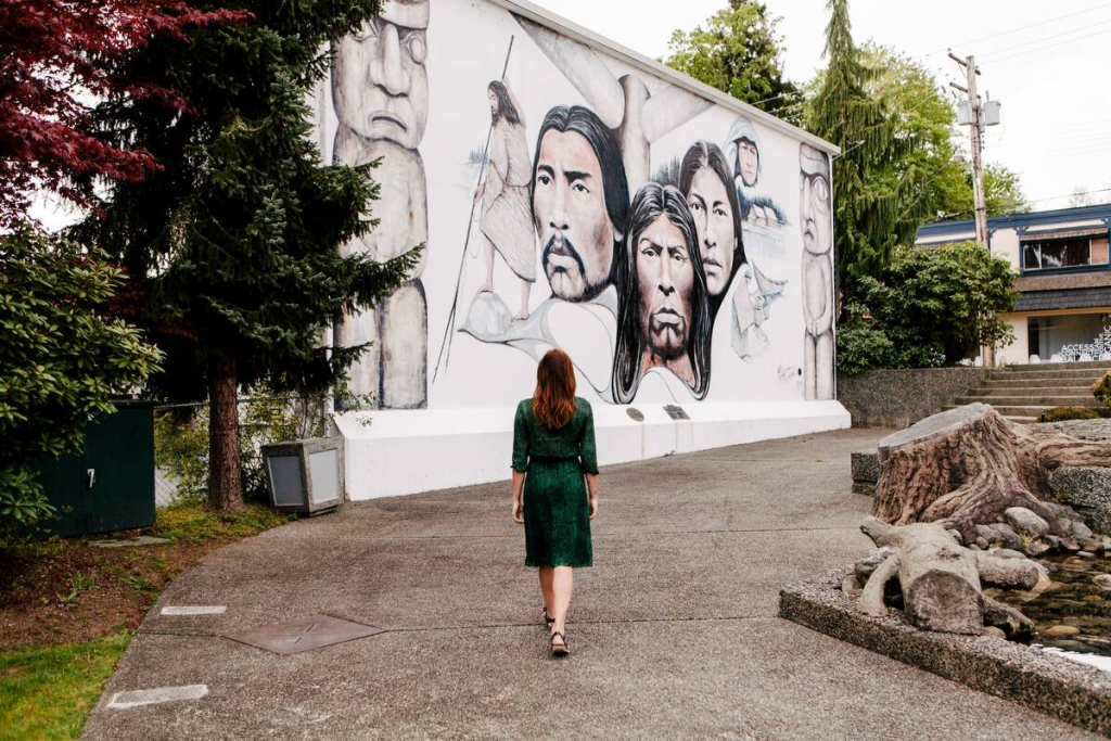
Chemainus | Tourism Vancouver Island/Ben Giesbrecht
In Nanaimo, take a heritage tour and stroll along the waterfront or head to Newcastle Island Marine Provincial Park where a shoreline of sandstone cliffs, complete with caves and caverns, awaits your exploration.
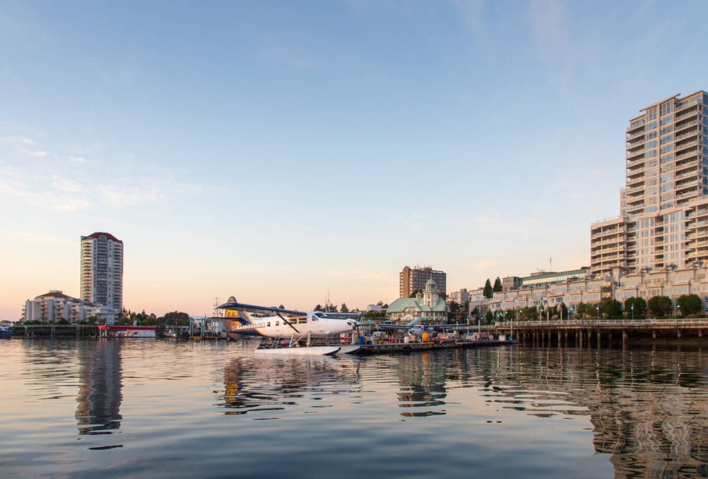
Harbour Air Seaplanes
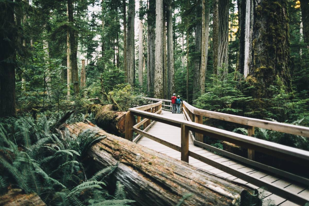
Continue north towards Port Alberni.